Beaverhead-Deerlodge National Forest
Camp here — Beaverhead-Deerlodge National Forest
1,221 camps mapped in this forest, 1,180 of them free. Tap one for its topo and aerial, the weather, the water, and how far you will be from fuel and a shower.
- FreeMadison County
- FreeUSFS dispersed camp — Madison County, MT
- FreeUSFS dispersed camp #3 — Madison County, MT
- FreeUSFS dispersed camp #4 — Madison County, MT
- FreeUSFS dispersed camp #5 — Madison County, MT
- FreeUSFS dispersed camp #6 — Madison County, MT
- FreeUSFS dispersed camp #7 — Madison County, MT
- FreeUSFS dispersed camp #8 — Madison County, MT
Where dispersed camping is listed — Beaverhead-Deerlodge National Forest
The Forest Service lists dispersed camping as an activity at these 3 places. That is the agency saying it is allowed somewhere in the area — not a campsite we have mapped, and not a spot we can put a pin on. Read their page, then check the district for the rules that apply on the day.
- Clover Meadows Dispersed Camping and Picnic Area
Dispersed camping and picnic area that is flat and open with well-maintained trails to enjoy a hike on. There is no water or garbage services at this site, but if rustic and simple tent camping is what you're after, this is a…
the Forest Service page for it → - Elk Lake Dispersed Camping and Picnic Area
Elk Lake dispersed camping and picnic area is surrounded by pristine wilderness and mountain lakes and streams. There are abundant wildlife viewing opportunities in the area, which is particularly popular with birders. Bears…
the Forest Service page for it → - Madison Ranger District
Madison Ranger District is the easternmost district on the Beaverhead-Deerlodge and surrounds the town of Ennis on three sides. Campgrounds, picnic areas and fishing access recreation areas are available on this district. Please…
the Forest Service page for it →
Where the camps cluster
The place
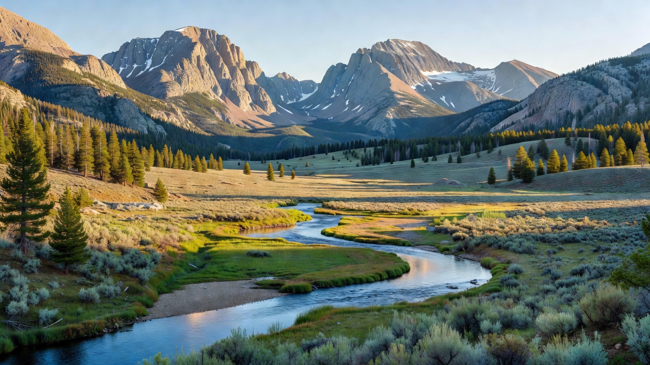
Beaverhead-Deerlodge is the biggest national forest in Montana -- more than three million acres scattered across a cluster of separate 'island' mountain ranges in the state's southwest corner, right up against the Continental Divide. It's wide-open, high country: glacier-carved peaks rising straight out of sagebrush valleys, blue-ribbon trout rivers, alpine lakes, and the weathered remains of old mining camps. If you like your mountains big and your crowds thin, this is the place.
History
The forest takes its name from two of Montana's most storied places. 'Beaverhead' comes from Beaverhead Rock, a landmark on the Beaverhead River that the Shoshone said looked like a swimming beaver's head; Sacagawea recognized it in 1805 while traveling with Lewis and Clark, a sign her homeland was near. 'Deerlodge' traces to the Deer Lodge Valley -- local tradition links the name to a warm-spring mound where deer once gathered, the 'lodge of the deer.' The two forests, Beaverhead and Deerlodge, were managed separately for most of the last century and were combined into a single forest in 1996. This is old Montana mining country, and gold- and silver-rush ghost towns like Coolidge, deep in the Pioneer Mountains, still stand within the forest.
Wildlife & plants
There's a lot of big game here: elk, moose, mule deer, mountain goats picking across the high rock, and bighorn sheep. Pronghorn range the open valleys and sage flats, where you might also flush a sage grouse. Black bears, mountain lions, and wolves all live in the forest, though you're far more likely to see their sign than the animals themselves. The rivers are the real draw for anglers -- native westslope cutthroat trout swim the headwaters, and the Big Hole River holds one of the last river-dwelling Arctic grayling populations in the lower 48, a delicate, sail-finned fish that's a relic of colder, ice-age times.
Notable features
The Continental Divide runs right through the forest, and the Continental Divide National Scenic Trail crosses it on the long walk between Canada and Mexico. The Pioneer Mountains Scenic Byway threads between that range's two halves, past alpine lakes and the ghost town of Coolidge. The forest includes much of the Anaconda-Pintler Wilderness (shared with the neighboring Bitterroot National Forest) and part of the Lee Metcalf Wilderness. And the Big Hole River, a legendary blue-ribbon trout stream, drains its western valleys.
Camps are sourced from public U.S. Forest Service recreation data and have not been personally visited. Roads shown are Forest Service passenger-car routes (maintenance level 3–5) and may be seasonal or gated. Always confirm access, fees and fire rules with the ranger district before you go. Found a fee where we show free? Tell us on the contact page.