Bitterroot National Forest
Camp here — Bitterroot National Forest
299 camps mapped in this forest, 287 of them free. Tap one for its topo and aerial, the weather, the water, and how far you will be from fuel and a shower.
- FreeThree Sisters Group Site
- FreeSam Billings Memorial Campground
- FreeBoulder Creek Horse Camp
- FreeSkalkaho Rye Dispersed Campground
- FreeHughesck 3D
- FreeMartin-02
- FreeUSFS dispersed camp — MT #233
- FreeUSFS dispersed camp — MT #154
Where the camps cluster
The place
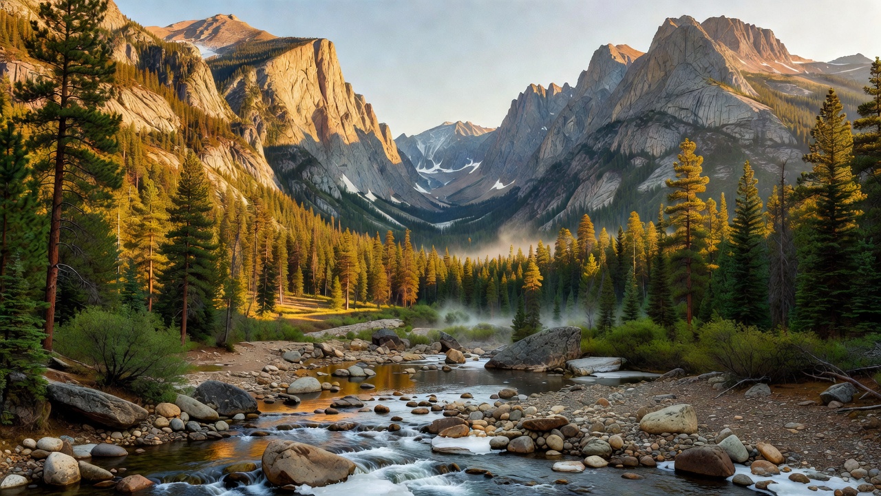
Bitterroot National Forest straddles the spine of the northern Rockies along the Montana-Idaho line, gathered around the Bitterroot Valley in southwest Montana. At about 1.6 million acres it is a forest of contrasts: the sawtoothed Bitterroot Mountains throw up a dramatic granite wall on the valley west side, slashed by deep U-shaped canyons, while the gentler, forested Sapphire Mountains roll up the east side. Down the middle runs the Bitterroot River, a blue-ribbon trout stream flowing north toward Missoula. It is classic Montana high country -- big peaks, cold clear water, and a whole lot of room to disappear into.
History
The forest takes its name from the bitterroot (Lewisia rediviva), a low pink wildflower that became Montana state flower. Its root -- bitter raw, better cooked -- was a traditional food harvested by the Bitterroot Salish and other Interior Northwest peoples, who called the plant something like spetlum; Meriwether Lewis collected a specimen in the valley, and the plant scientific name honors him. This is famous Lewis and Clark country: in 1805 the Corps of Discovery struggled over the Bitterroot Mountains on the ancient Nez Perce trail across the Lolo, one of the hardest and hungriest stretches of their whole journey, before resting at a spot near present-day Lolo they named Travelers Rest. The Bitterroot was established as a national forest in the early 1900s, part of the wave of forest reserves set aside in the Theodore Roosevelt era, and the great fires of 1910 that swept the northern Rockies left their mark here as they did across the whole region.
Wildlife & plants
This is prime northern-Rockies wildlife country. Elk are the signature animal, alongside mule deer and white-tailed deer, black bears, and mountain lions; up in the high rock you will find mountain goats and bighorn sheep, and the wetter bottoms hold the occasional moose. It is also home to some of the West most elusive predators -- gray wolves range the forest again, and it is rare but real habitat for wolverine and Canada lynx, animals most people go a lifetime without seeing. The rivers and creeks carry native westslope cutthroat trout and threatened bull trout, which is a big part of why the Bitterroot River draws fly anglers from all over. And of course there is the little pink bitterroot itself, blooming low to the ground in late spring once the snow pulls back.
Notable features
The forest high point is Trapper Peak, at about 10,157 feet the highest point in the Bitterroot Mountains and on the forest. Its most photographed feature is probably Blodgett Canyon, a glacier-carved gorge whose sheer granite walls rise well over 2,000 feet -- locals often call it the Yosemite of the Bitterroots. Lake Como, tucked between Darby and Hamilton below the peaks, is one of the busiest recreation spots on the forest, good for swimming, boating, and camping. Nearly half the forest is designated wilderness: it holds a large share of the vast Selway-Bitterroot Wilderness (one of the biggest wild areas in the lower 48), plus pieces of the Frank Church-River of No Return and the Anaconda-Pintler wildernesses -- connecting into some of the largest unbroken wild country left in the lower 48.
Camps are sourced from public U.S. Forest Service recreation data and have not been personally visited. Roads shown are Forest Service passenger-car routes (maintenance level 3–5) and may be seasonal or gated. Always confirm access, fees and fire rules with the ranger district before you go. Found a fee where we show free? Tell us on the contact page.