Bridger-Teton National Forest
Camp here — Bridger-Teton National Forest
128 camps mapped in this forest, 96 of them free. Tap one for its topo and aerial, the weather, the water, and how far you will be from fuel and a shower.
- FreeSpread Creek Dispersed Camping Area
- FreeSwift Creek Campground
- FreeCurtis 1
- FreeBuffalo Valley 11
- FreeShadow Upper 10
- FreeCurtis 4
- FreeSheffield Campground
- FreeBuffalo Valley 21
Where dispersed camping is listed — Bridger-Teton National Forest
The Forest Service lists dispersed camping as an activity at these 10 places. That is the agency saying it is allowed somewhere in the area — not a campsite we have mapped, and not a spot we can put a pin on. Read their page, then check the district for the rules that apply on the day.
- Blackrock Ranger District
The Blackrock Ranger District is comprised mostly of the Teton Wilderness. It borders Grand Teton and Yellowstone National Parks. It is home to the headwaters of the Yellowstone River and the Continental Divide. Please note: The…
the Forest Service page for it → - Greys River Corridor
The Greys River Corridor encompasses the area surrounding the Greys River itself and the Greys River Road, and offers numerous opportunities for fishing, kayaking, camping, hiking, OHV riding and horseback riding. The Greys River…
the Forest Service page for it → - Hams Fork Area
Known for its river and great fishing opportunities, the Hams Fork area is a marvelous place to enjoy some of Wyoming’s great landscape.
the Forest Service page for it → - Hatchet/Flagstaff Area
Stay tuned...more information to come.
the Forest Service page for it → - Jackson Ranger District
The Jackson Ranger District offers an incredible abundance of recreation areas and activities to choose from for all visitors. From internationally recognized skiing to world-famous fishing to wildlife watching, the variety is…
the Forest Service page for it → - Kemmerer Ranger District
WINTER CONDITIONS: Winter Wildlife Closure dates and Winter Closure Area Maps
the Forest Service page for it → - LaBarge Creek Area
Stay tuned...more information to come.
the Forest Service page for it → - Shadow Mountain/Ditch Creek Area
Shadow Mountain road network - the following designated FS roads are open for motorized use between May 1 through November 31 annually. These roads are lightly maintained gravel and dirt roads which during wet conditions that can…
the Forest Service page for it → - Smith Fork Area
The Smith Fork Area of the Greys River Ranger District offers 27 miles of scenic driving and recreation opportunities. A multitude of dispersed camping is available throughout the area with a stay limit of 16 days. Take a drive…
the Forest Service page for it → - Togwotee Pass Area
Stay tuned...more information to come.
the Forest Service page for it →
Where the camps cluster
The place
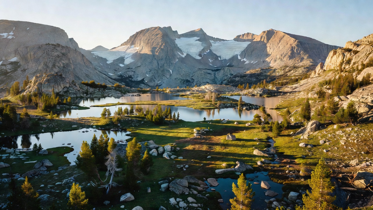
Bridger-Teton sprawls across more than three million acres of western Wyoming, one of the largest national forests in the lower 48. It wraps around the south and east sides of Grand Teton and Yellowstone as part of the Greater Yellowstone Ecosystem -- one of the last big, mostly-intact wild landscapes left in the country. This is serious high country: glacier-hung granite peaks in the Wind River Range, the sagebrush foothills above Jackson Hole, three vast wilderness areas, and the headwaters of some of the West's great rivers. If you want room to disappear, there's a lot of it here.
History
The forest carries two famous names. 'Bridger' honors Jim Bridger, the legendary mountain man, trapper, and guide who knew this corner of the Rockies as well as anyone in the fur-trade era. 'Teton' comes from the Teton Range, the sawtooth peaks on the forest's western edge. The two halves -- the Bridger National Forest and the Teton National Forest -- were managed separately for decades before being combined into a single Bridger-Teton National Forest in 1973. Long before any of that, this was homeland and hunting ground for the Shoshone, Crow, and other tribes, and the high passes here were part of the routes that first drew trappers and explorers into the northern Rockies.
Wildlife & plants
This is grizzly country -- Bridger-Teton is part of the Greater Yellowstone Ecosystem, one of the few places in the lower 48 where grizzlies still roam -- along with black bears, gray wolves, and mountain lions (you'll see far more of their sign than the animals themselves). The valleys and foothills hold some of the largest elk herds in North America, plus moose, mule deer, pronghorn, and bighorn sheep up on the high rock. Trumpeter swans, bald eagles, and ospreys work the rivers and wetlands. Anglers come for the Snake River fine-spotted cutthroat, a trout found almost nowhere else in the world, swimming waters that native cutthroat have held since the ice age.
Notable features
The Bridger Wilderness runs up the west slope of the Wind River Range, beneath Gannett Peak -- at roughly 13,800 feet the highest point in Wyoming, straddling the Continental Divide on the boundary with the neighboring Shoshone National Forest. The Wind Rivers cradle the largest glaciers in the American Rockies, though most of that ice sits just across the Divide on the Shoshone side. The forest also holds the headwaters of the Green River and, up near the Yellowstone line in the Teton Wilderness, some of the source waters of the Snake. Two Ocean Pass, the Gros Ventre Slide, and the rhythmic Periodic Spring near Afton are all here -- see the fun facts.
Camps are sourced from public U.S. Forest Service recreation data and have not been personally visited. Roads shown are Forest Service passenger-car routes (maintenance level 3–5) and may be seasonal or gated. Always confirm access, fees and fire rules with the ranger district before you go. Found a fee where we show free? Tell us on the contact page.