Chippewa National Forest
Camp here — Chippewa National Forest
104 camps mapped in this forest, 85 of them free. Tap one for its topo and aerial, the weather, the water, and how far you will be from fuel and a shower.
- FreeLittle Cottonwood Lake M91
- FreeBaumgartner Lake B2
- FreeTrout Lake Beach Campsite M34
- FreeSkimmerhorn Lake B45A
- FreeBluewater Lake M42
- FreeBlue Sky Lake C20
- FreeFirst River Campsite D32
- FreeGilfillan (On North Twin Lake) B8
Where dispersed camping is listed — Chippewa National Forest
The Forest Service lists dispersed camping as an activity at these 6 places. That is the agency saying it is allowed somewhere in the area — not a campsite we have mapped, and not a spot we can put a pin on. Read their page, then check the district for the rules that apply on the day.
- Blackduck Area
The Blackduck Ranger District is located in the northwest part of the Chippewa National Forest. A great stop for Forest information, maps and permits.
the Forest Service page for it → - Cass Lake Area
WELCOME The spirit of the Civilian Conservation Corps can be found in the notched logs and hammered iron of the Chippewa National Forest Supervisor’s Office in Cass Lake, Minn. This historic landmark embodies the craftsmanship of…
the Forest Service page for it → - Cass Lake Dispersed Camping
Cass Lake Loop is a Dispersed camping area within the Norway Beach Recreation Area on the Chippewa National Forest. It is carry-in access with parking available The Forest as over 60 dispersed recreation sites for the more…
the Forest Service page for it → - Deer River Area
Deer River Area
the Forest Service page for it → - Marcell Area
Marcell area is 28 miles north of Grand Rapids, Minnesota within the Chippewa National Forest . The Edge of the Wilderness Discovery Center located in Marcell, MN is a visitor & environmental education center that is home to a…
the Forest Service page for it → - Walker Area
The Walker Ranger District is one of three ranger districts on the Forest, it is approximately 479,000 acres in size. Favorite Spaces and Places on the Walker District: Stony Point Campground is an excellent spring wildflower and…
the Forest Service page for it →
Where the camps cluster
The place
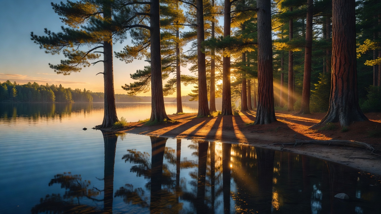
Chippewa National Forest sprawls across the lake country of north-central Minnesota, a low, green, water-soaked landscape near the headwaters of the Mississippi. The forest boundary takes in about 1.6 million acres, but only around 660,000 of that is actual national forest -- the rest is a checkerboard of tribal, state, county, and private land, stitched together by more than 1,300 lakes and ponds and hundreds of thousands of acres of wetland. It is a place defined by water and pine: three of Minnesota's ten largest lakes sit inside the boundary, bald eagles nest in the tall old pines along the shorelines, and loons call across the quiet bays. It is also deeply tied to the Ojibwe -- the forest overlaps most of the Leech Lake Reservation, with about 90 percent of the reservation lying inside its boundary, and took its name in 1928 to honor them.
History
The forest's roots reach back to 1902, when Congress set aside the Minnesota Forest Reserve under the Morris Act -- land bound up in the disposition of Leech Lake Reservation timber, and often described as having been created to benefit the Ojibwe rather than carved out of the western public domain like most national forests. It became the Minnesota National Forest in 1908, and the Forest Service still calls it the first national forest established east of the Mississippi River (fitting, since parts of it sit right on the young river). In 1928 it was renamed the Chippewa National Forest to honor the original inhabitants -- "Chippewa" being the older federal spelling of Ojibwe (Anishinaabe). The two remain closely bound: roughly 90 percent of the Leech Lake Reservation lies within the forest boundary, and the Forest Service and the Leech Lake Band of Ojibwe work the shared landscape together today under co-stewardship agreements rather than one simply managing the other's ground. The Civilian Conservation Corps left a heavy mark here in the 1930s, building roads, campgrounds, and the log Supervisor's Office in Cass Lake that the forest still works out of.
Wildlife & plants
This is famous eagle country -- the Chippewa has one of the highest bald-eagle breeding densities in the Lower 48, with hundreds of nests scattered across the forest, many of them tucked in the big old red and white pines along the lakeshores. Common loons -- Minnesota's state bird -- nest on the quieter waters, and gray wolves, black bears, and white-tailed deer roam the woods; moose reach the northern edges but are uncommon and have thinned out across the region. The lakes are serious fishing water: walleye above all (Leech Lake and Winnibigoshish are legendary for it), along with northern pike, muskie, and panfish. The forest itself is a northern mix -- red, white, and jack pine, aspen and paper birch, with black spruce and tamarack standing in the peat bogs.
Notable features
The forest's signature feature is its water -- more than 1,300 lakes and ponds and hundreds of miles of rivers and streams. Three of Minnesota's ten largest lakes -- Leech Lake, Lake Winnibigoshish ("Big Winnie"), and Cass Lake -- lie within the boundary, and the young Mississippi River, not far below its source at Lake Itasca, threads right through Cass Lake and Winnibigoshish on its way east and south. Its best-known landmarks are the old-growth pines of the Lost Forty, the restored Civilian Conservation Corps camp at Rabideau, and the log Cut Foot Sioux Ranger Station near Lake Winnibigoshish.
Camps are sourced from public U.S. Forest Service recreation data and have not been personally visited. Roads shown are Forest Service passenger-car routes (maintenance level 3–5) and may be seasonal or gated. Always confirm access, fees and fire rules with the ranger district before you go. Found a fee where we show free? Tell us on the contact page.