Idaho Panhandle National Forests
Camp here — Idaho Panhandle National Forests
1,058 camps mapped in this forest, 1,016 of them free. Tap one for its topo and aerial, the weather, the water, and how far you will be from fuel and a shower.
- FreeDispersed camp — Boundary County, ID
- FreeNavigation Campground
- FreeUSFS dispersed camp #2 — Bonner County, ID
- FreeUSFS dispersed camp #3 — Bonner County, ID
- FreeUSFS dispersed camp #4 — Bonner County, ID
- FreeUSFS dispersed camp #5 — Bonner County, ID
- FreeUSFS dispersed camp #6 — Bonner County, ID
- FreeUSFS dispersed camp #7 — Bonner County, ID
Where dispersed camping is listed — Idaho Panhandle National Forests
The Forest Service lists dispersed camping as an activity at these 7 places. That is the agency saying it is allowed somewhere in the area — not a campsite we have mapped, and not a spot we can put a pin on. Read their page, then check the district for the rules that apply on the day.
- Lower Kootenai River Area
The Lower Kootenai River Area (Bonners Ferry District) is bordered by the Purcell and Cabinet Ranges and the Montana Line on the east, the rugged Selkirk Range on the west, and the Canadian border to the north. The Kootenai River…
the Forest Service page for it → - Maiden Rock Campground
Maiden Rock Picnic Ground is accessible by boat only. It features 4 picnic units, fire rings, a vault toilet, and a swimming beach.
the Forest Service page for it → - Navigation Trailhead #291
This is an excellent trail. Developed campgrounds located at the north end of Upper Priest Lake ( Navigation Campground ) and the south end of Upper Priest Lake ( Plowboy Campground ). The trail passes through valley and sidehill…
the Forest Service page for it → - Pend Oreille Lake Area
The Kalispel, Kutenai and other native peoples were the first inhabitants of this area. They lived along the waterways and utilized the area's abundant natural resources for survival. The Pend Oreille Lake area is famous for…
the Forest Service page for it → - Priest Lake Area
Priest Lake was originally called Roothaan Lake by Father Desmet in 1846 in honor of his Jesuit Superior in Rome. One of the prominent peaks in the Selkirk Range still bears the name Roothaan. In 1865, Captain John Mullan…
the Forest Service page for it → - Solomon Lake Fishing
Solomon Lake offers a developed site in a remote area, with moderate road access. Solomon Lake is locally popular and receives heavy use. Facilities are best suited for single families or groups with a focus on day use. Camping…
the Forest Service page for it → - St. Joe River Area
The St. Joe River area of the Idaho Panhandle National Forests includes most of what was originally established as the St. Joe National Forest and is now our St. Joe Ranger District. This is an area of blue-ribbon cutthroat trout…
the Forest Service page for it →
Where the camps cluster
The place
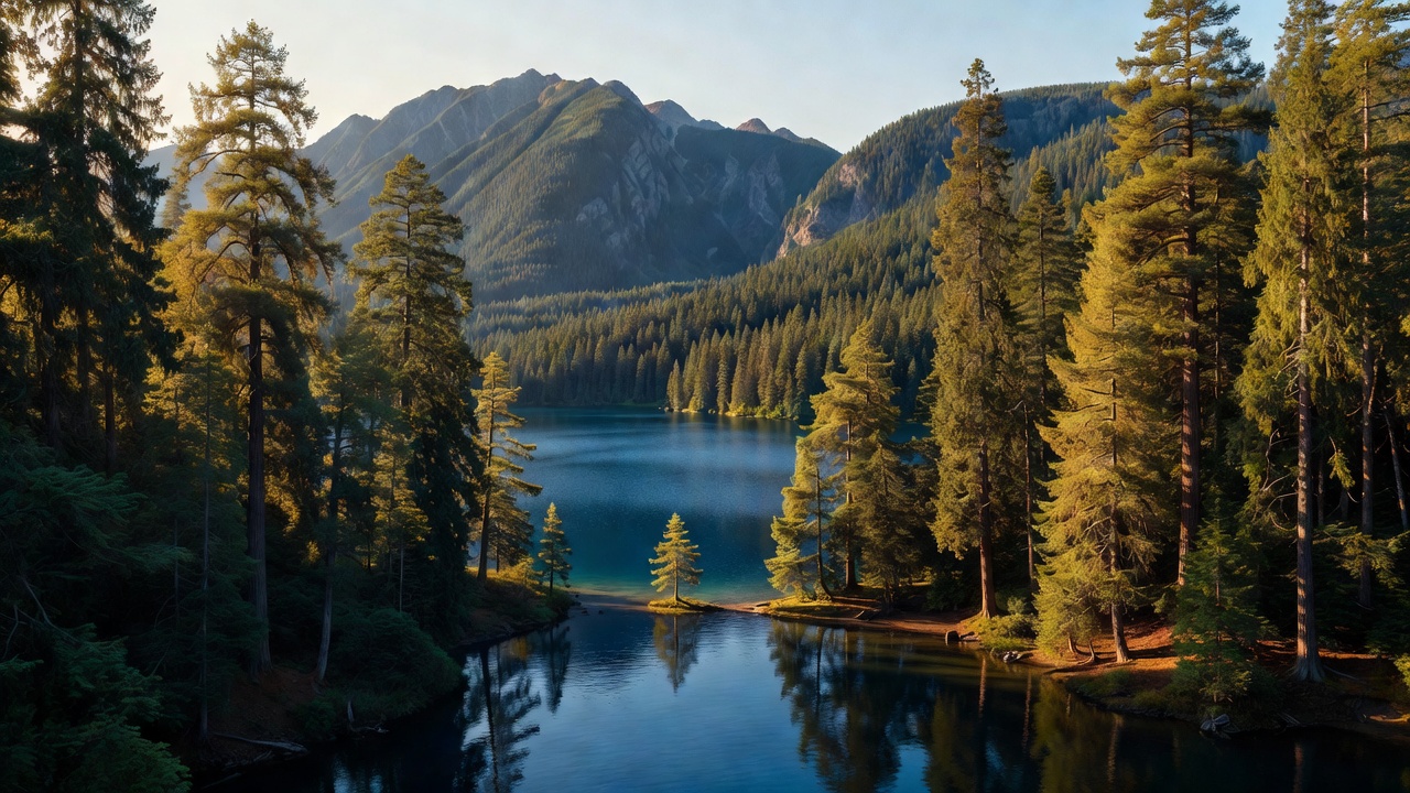
The Idaho Panhandle National Forests sit at the very top of Idaho, in the narrow neck of the state, with slivers reaching into Montana and Washington. They are really three old forests -- the Coeur d'Alene, the Kaniksu, and the St. Joe -- brought under one administration in 1973 and run as a single unit ever since. This is wet, green, big-timber country: some of the only inland rainforest in North America grows in its sheltered valleys, where western redcedar and hemlock stand tall and mossy. Deep lakes, old mining towns, and the Selkirk and Coeur d'Alene mountains fill out the rest. It rains and snows a lot up here, and it shows.
History
North Idaho is old mining and logging country. The Coeur d'Alene district -- the 'Silver Valley' around Wallace and Kellogg -- grew into one of the richest silver-mining areas in the world, having given up well over a billion ounces of silver over its lifetime, though that boom left a long environmental hangover the region is still cleaning up. The forest's defining event, though, was fire. The Great Fire of 1910, often called the 'Big Burn,' swept across roughly three million acres of Idaho and Montana in about two days of August wind, much of it right here. During the fire a ranger named Ed Pulaski herded his panicking crew into an abandoned mine tunnel near Wallace and held them there -- at gunpoint, by some accounts -- until the flames passed, saving most of their lives. He is remembered in the 'Pulaski,' the combination axe-and-hoe tool wildland firefighters still carry today. The three forests that make up the Panhandle were joined under a single administration in 1973.
Wildlife & plants
White-tailed deer are everywhere up here, along with elk, moose, and mountain goats on the high rock. Black bears are common -- far more common than most visitors realize. The northern edge of the forest, in the Selkirk and Cabinet-Yaak country near the Canadian border, is genuine grizzly habitat, home to two of the small, threatened grizzly populations still hanging on in the lower 48, though an encounter is rare and a black bear is far more likely. Gray wolves and mountain lions range here too. This was also the last corner of the lower 48 to hold wild mountain caribou; the tiny South Selkirk herd dwindled over the years and the last animal was moved to British Columbia in 2019, so they are gone from the U.S. side now -- a quiet loss the country still remembers. In the streams you will find native westslope cutthroat and bull trout, and the big lakes hold kokanee and lake trout.
Notable features
Lake Pend Oreille, which the forest wraps around, is Idaho's largest lake and its deepest -- more than a thousand feet down -- so deep and quiet that the U.S. Navy runs an acoustic research station on it at Bayview, testing large scale-model submarines far from any ocean. Priest Lake, to the northwest, is ringed by old-growth cedar and state and forest land. The Selkirk and Coeur d'Alene mountains give the forest its backbone, with the west edge of the Cabinets and the Scotchman Peaks along the Montana line. The 'Shadowy St. Joe' River winds through the southern country, long billed as one of the highest navigable rivers in the country. And tucked in the wet valleys are groves of ancient western redcedar -- Settlers Grove near Murray on the Idaho side, and the Roosevelt Grove of Ancient Cedars just over the line in Washington, reached from the Priest Lake side.
Camps are sourced from public U.S. Forest Service recreation data and have not been personally visited. Roads shown are Forest Service passenger-car routes (maintenance level 3–5) and may be seasonal or gated. Always confirm access, fees and fire rules with the ranger district before you go. Found a fee where we show free? Tell us on the contact page.