Kootenai National Forest
Camp here — Kootenai National Forest
516 camps mapped in this forest, 488 of them free. Tap one for its topo and aerial, the weather, the water, and how far you will be from fuel and a shower.
- FreeBarron Creek Boat Ramp
- FreeCamp 32
- FreeGateway Boat Camp
- FreeGrave Creek Campground
- FreeDispersed camp — Lincoln County, MT
- FreeDispersed camp #2 — Lincoln County, MT
- FreeDispersed camp #3 — Lincoln County, MT
- FreeRd 494 Site 3
Where dispersed camping is listed — Kootenai National Forest
The Forest Service lists dispersed camping as an activity at these 2 places. That is the agency saying it is allowed somewhere in the area — not a campsite we have mapped, and not a spot we can put a pin on. Read their page, then check the district for the rules that apply on the day.
- Fisher River Area
The Fisher River Area is the watershed formed by the four forks (West, East, Silver Butte, Pleasant Valley) of the Fisher River and Wolf Creek. The Area is dominated by intermingled ownership, with Plum Creek Timber Company being…
the Forest Service page for it → - Koocanusa Area
The Koocanusa Area is primarily centered along a narrow 90 mile long Koocanusa Reservoir, formed by Libby Dam. Approximately 60 miles are within the United States. Libby Dam is operated by the US Army Corps of Engineers which…
the Forest Service page for it →
Where the camps cluster
The place
Tucked into the far northwest corner of Montana, and reaching a little way over into the Idaho panhandle, the Kootenai is one of the wettest, most maritime forests in the northern Rockies -- more Pacific Northwest than Big Sky. Rain and snow off the Pacific make it low, green and dense, with valley pockets of cedar and hemlock that feel like an inland rainforest. It takes its name from the Kootenai River, which loops down out of Canada, swings through the forest past Libby, and heads for Idaho. Between the Cabinet Mountains, the wild Yaak country, and the long reservoir called Lake Koocanusa, it's a quieter, damper, lonelier corner of Montana than the postcard peaks farther east.
History
The forest is named for the Kootenai River and for the Ktunaxa people -- also spelled Kootenai, Kootenay or Kutenai -- who have lived along these waters for a very long time and hold places like Kootenai Falls sacred. The forest itself was set aside in the early 1900s, in the wave of national forests created out of the public land of the mountain West, and its towns grew up on logging, mining and the railroad pushing through the Kootenai's canyons. In the 1970s the U.S. Army Corps of Engineers finished Libby Dam on the Kootenai River, backing the water up into a long reservoir that runs north across the border. The lake got its name from a public naming contest -- Koocanusa, stitched together from KOOtenai, CANada and USA.
Wildlife & plants
The Kootenai is grizzly country -- the Cabinet-Yaak population here is one of the smallest and most carefully watched grizzly groups in the Lower 48, so a bear sighting is rare and a big deal. Black bears are far more common, along with elk, moose, white-tailed and mule deer, mountain goats up in the high rock, and gray wolves and mountain lions doing the hunting. It's also habitat for some of the hardest animals in the West to ever lay eyes on -- Canada lynx and wolverine, both rare and elusive. The cold, clean water holds bull trout and native westslope cutthroat, and the Kootenai River shelters an endangered, long-isolated population of white sturgeon, an ancient fish that can outlive a person several times over. Under it all runs the wet-forest greenery: western redcedar, hemlock, larch that turns gold in the fall, and a thick understory that soaks up the rain.
Notable features
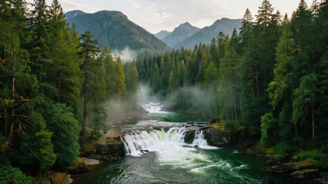
Kootenai Falls, on the Kootenai River just off US-2 near Libby, is one of the largest free-flowing waterfalls left in Montana -- more a thundering staircase of whitewater than a single tall drop -- crossed by a swinging footbridge and long held sacred by the Kootenai people; a river sequence for the movie 'The Revenant' was shot here, and it stood in for wild water in 'The River Wild.' South of Libby rise the Cabinet Mountains, and much of the Cabinet Mountains Wilderness -- one of the areas protected by the original 1964 Wilderness Act -- sits on this forest, topped by Snowshoe Peak at about 8,738 feet. Down the Bull River, the Ross Creek Cedars protect a grove of giant old western redcedars, many of them centuries old, with trunks several feet across and some reaching roughly 175 feet tall. To the northwest, remote and rain-soaked, lies the Yaak -- low, wild, inland-rainforest country made famous by the writer Rick Bass -- while Lake Koocanusa stretches for about 90 miles behind Libby Dam, up and over the Canadian line.
Camps are sourced from public U.S. Forest Service recreation data and have not been personally visited. Roads shown are Forest Service passenger-car routes (maintenance level 3–5) and may be seasonal or gated. Always confirm access, fees and fire rules with the ranger district before you go. Found a fee where we show free? Tell us on the contact page.