Cigarette Springs Camp 4 (Utah Trust Land)
FREE dispersed camping on Utah STATE TRUST LAND (SITLA), San Juan County. OpenStreetMap maps 5 camp spots in this immediate area; the pin is on one of them. OpenStreetMap labels this spot "Cigarette Springs Camp 4"; treat that as a mapper's note, not an official name -- expect no sign. This is genuinely free: Utah charges no fee, permit, licence or pass to camp on trust land. State rule R850-12-500 lets anyone maintain a non-commercial campsite here without written authorization, and the state's own Trust Lands page confirms no permit is needed for short-term, low-impact camping. THE RULES YOU MUST FOLLOW (R850-12): 15 days maximum in one spot within any 30 days, and once you leave you may not re-camp within a 5-mile radius for 15 days; camp at least 100 feet from any water; keep vehicles within 100 feet of an established (authorized) route and do NOT drive cross-country; campfires only inside an EXISTING fire ring (building a new ring needs agency permission), burning only clean dry firewood or charcoal, and you may gather downed wood but not cut standing trees; pack out all trash; bury human waste at least 8 inches deep and 200 feet from any camp or water and pack out all toilet paper; no fireworks; leave no property unattended over 72 hours. WHAT TO EXPECT: nothing built. Utah runs NO developed campgrounds on trust land, so this is primitive dispersed camping -- no toilet, no water, no table, no fee station. Bring your own water and pack everything out. IMPORTANT -- CHECKERBOARD LAND: Utah trust land is scattered one-square-mile sections mixed in with BLM, Forest Service and PRIVATE land, and the boundaries are invisible on the ground. Before you camp, confirm you are actually on trust land using a SITLA plat or the Utah Trust Lands map, respect any adjacent private, leased or grazing land, and obey any closure the agency has posted at the site or on its website (it may close areas at any time). Some parcels in this part of the state are inholdings inside a national monument -- the state rules above govern the parcel itself, but follow federal rules on the surrounding land. CAVEATS, honestly: we have not visited, and no source describes this particular spot -- the legal right to camp free here is very well documented, but how usable or pleasant the site is, is not. Confirm current rules and closures with the Utah Trust Lands Administration (trustlands.utah.gov, 801-538-5100) before you go.
Everything you need — measured from Cigarette Springs Camp 4 (Utah Trust Land) · public land · UT
- EVEV fast charger17 mi
- FFuel17 mi
- GGrocery17 mi
- @Mail17 mi
- WWater17 mi
- LLaundry17 mi
- HHardware25 mi
- +Urgent care25 mi
- MMechanic34 mi
- RxPharmacy43 mi
The read: water's a short hop out, fuel & food sit about 17 mi out.
Not within 60 mi: Dump, Propane. Plan those before you head up.
One dot per need — the nearest of each kind, straight-line from camp. Places from OpenStreetMap (© OpenStreetMap contributors); the EV fast charger from the US DOE station locator. Open in Google Maps ↗
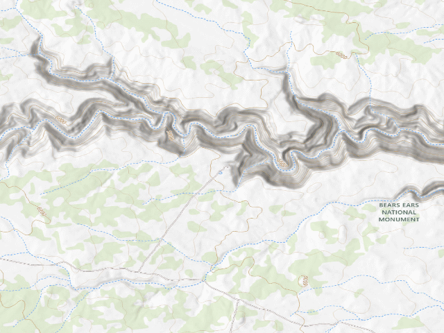
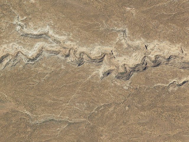
The site — Cigarette Springs Camp 4 (Utah Trust Land)
Nearby & resupply — around Cigarette Springs Camp 4 (Utah Trust Land) · public land · UT (OpenStreetMap)
- Water featureRoad Canyon (river) · nearby
- Nearest townMexican Hat · ~16.9 mi
- Drinking waternone within 10 mi
- FuelSinclair · ~24.6 mi
- Propane / LPGnone within 31 mi
- GroceriesClark's Market · ~24.8 mi
- Hospital / clinicBlue Mountain Hospital · ~24.7 mi
EV charging — from Cigarette Springs Camp 4 (Utah Trust Land) · public land · UT — nearest public DC fast & Level 2 (US DOE station data)
- Nearest public DC fast charger16.6 mi straight-line SE — STATE OF UTAH BLUFF EAST 2 · ChargePoint Network · CHAdeMO, CCS · 1 fast port listed · listed open, last confirmed by AFDC 2026-09-16 · hours: 24 hours daily · directions
- Public DC fast stations within reach2 within 25 mi · 6 within 50 · 14 within 100 · 71 within 150
- Nearest listing NACS (Tesla)25.6 mi — Blanding, UT - Tesla Supercharger, Blanding
- Nearest public Level 2 (J1772)48.5 mi — SKY KIVA VILLAGE, Cortez, CO · ChargePoint Network · J1772 · 2 Level 2 ports listed · listed open, last confirmed by AFDC 2026-09-16 · hours: 24 hours daily
- Also listed, not counted aboveLevel 2, restricted access — Desert Rose Inn, Bluff, 16.4 mi · J1772 · hours: 24 hours daily; for guest use only · AFDC lists it “Free”
- Pricing at the fast chargernot listed
- Power (kW)not listed by AFDC — “DC fast” spans roughly 24 to 350 kW, so ask the network.
- Read this honestlyStraight-line miles, like every distance on this site. Roads run longer than this, and you have to get back. We know where a charger is listed. We don’t know if it works today, how fast it is, or the road miles. Check the network before you commit.
Snapshot 2026-09-16 · AFDC record 167233 · US DOE Alternative Fuels Data Center
Nearby restrooms — around Cigarette Springs Camp 4 (Utah Trust Land) · public land · UT — pit toilets, restrooms & rest areas (government data)
- RestroomFish And Owl Toilet · ~5.8 mi N · BLM
- RestroomBullet Canyon Toilet · ~6.8 mi NW · BLM
- RestroomMule Canyon Rest Area Toilet · ~11.5 mi NE · BLM
- RestroomComb Wash Toilet (West) · ~12.7 mi NE · BLM
Open Cigarette Springs Camp 4 (Utah Trust Land) elsewhere
Other camps near Cigarette Springs Camp 4 (Utah Trust Land)
If this one is full, gated or washed out.
- Snow Flat Camp 4 (Utah Trust Land)~3.1 mi
- Snow Flat Camp 13 (Utah Trust Land)~3.8 mi
- Bears Ears National Monument~9.7 mi
- Utah Trust Land Dispersed Camping — San Juan County, UT (37.3510, -109.6289)~11.7 mi
How we know this — Cigarette Springs Camp 4 (Utah Trust Land)
What we don’t know about Cigarette Springs Camp 4 (Utah Trust Land)
A land record can put you within a few meters of a spot. It cannot tell you any of this — so check it yourself, and treat anything below as the open question it is.
- Road surface & last-mile access
- How many rigs actually fit
- Cell coverage by carrier
- Seasonal & winter access
- Current fire restrictions
- Whether any water here is drinkable
- Shade & wind exposure
- Noise and who else shows up
- Whether a listed EV charger works today, or the road miles to it