Wild Rice WMA (Richland County)
Wild Rice Wildlife Management Area is 2,080 acres of state wildlife land in Richland County, managed by the North Dakota Game and Fish Department, and you may camp on it free. That is not a rumour off a listing site -- it is how the state rule works: North Dakota Administrative Code 30-04-02-01 opens every WMA to 'public hunting, fishing, and trapping, or other compatible public use', and 30-04-02-11 sets the only real limit, 'camping for longer than ten consecutive days on any wildlife management area is prohibited'. There is no camping fee and, unlike South Dakota and Oklahoma, North Dakota does NOT make you buy a license or a conservation pass just to be on the land. Now the honest part: this is primitive dispersed camping on a wildlife area, not a campground. Assume NO toilets, NO drinking water, NO tables, NO fire rings and no marked sites unless you happen to find them. You may gather downed wood for a campfire, but you may not mow or cut vegetation to clear a campsite, you may not leave a trailer or tent set up unless you are actually sleeping in it, and you may not dump holding tanks on the area. Vehicles must stay on the constructed roads, established trails and parking areas that a passenger car would normally use -- do not drive out across the grass. Camping is also prohibited on any WMA where it is posted as such at the road entry, so READ THE SIGN at the entrance you use; the posted sign beats anything we can tell you here. These are working wildlife areas, so expect hunters in season and plan your visibility accordingly. The pin is a representative point inside the unit boundary, not a campsite -- you will need to find your own spot off an established access. Confirm current rules with ND Game and Fish at (701) 328-6300 before you go.
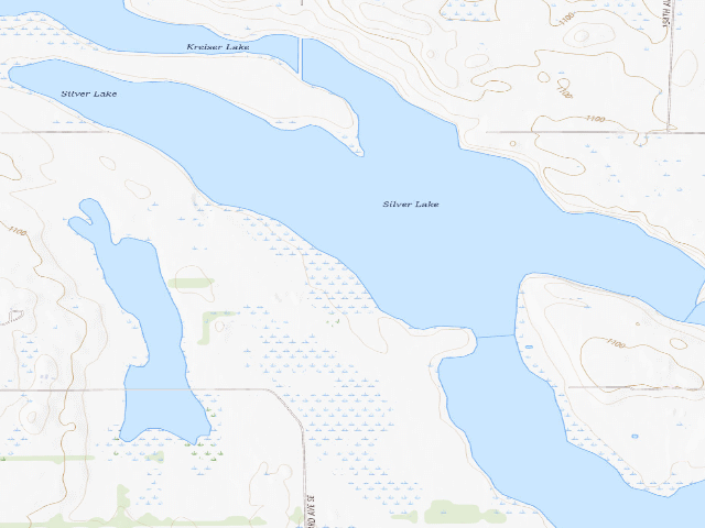
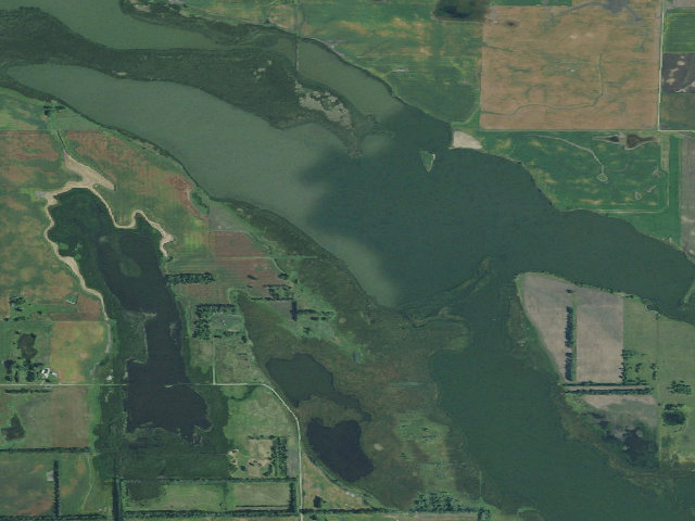
Everything you need — measured from Wild Rice WMA (Richland County) · North Dakota Game & Fish · ND
- FFuel3 mi
- GGrocery3 mi
- RxPharmacy21 mi
- MMechanic21 mi
- +Urgent care21 mi
- @Mail21 mi
- WWater24 mi
- DDump27 mi
- ShShower27 mi
- EVEV fast charger30 mi
- HHardware32 mi
- LLaundry35 mi
- OOutfitter40 mi
- AAir-up54 mi
The read: water is a real 24-mi drive, fuel & food sit about 3 mi out.
Not within 60 mi: Propane. Plan those before you head up.
One dot per need — the nearest of each kind, straight-line from camp. Places from OpenStreetMap (© OpenStreetMap contributors); the EV fast charger from the US DOE station locator. Open in Google Maps ↗
The site — Wild Rice WMA (Richland County)
Nearby & resupply — around Wild Rice WMA (Richland County) · North Dakota Game & Fish · ND (OpenStreetMap)
- Drinking waternone within 10 mi
- FuelFuel · ~3.3 mi
- Propane / LPGnone within 31 mi
- Dump station~26.8 mi
- GroceriesGrocery · ~3.3 mi
- PharmacyForman Drug · ~21.1 mi
- Hospital / clinicSanford Health Forman Clinic · ~21.1 mi
EV charging — from Wild Rice WMA (Richland County) · North Dakota Game & Fish · ND — nearest public DC fast & Level 2 (US DOE station data)
- Nearest public DC fast charger29.7 mi straight-line NE — Vision Ford, Wahpeton, ND (at a public site) · FORD_CHARGE · CCS · 4 fast ports listed · listed open, last confirmed by AFDC 2026-09-16 · hours: 24 hours daily · directions
- Public DC fast stations within reachnone within 25 mi · 2 within 50 · 43 within 100 · 76 within 150
- Nearest listing NACS (Tesla)32.7 mi — Sisseton, SD - Tesla Supercharger, Sisseton
- Nearest listing CHAdeMO52.9 mi — Fergus Falls, Fergus Falls
- Nearest public Level 2 (J1772)50.3 mi — Happy Harry's Bottle Shop, Fargo, ND (at a shopping center) · Non-Networked · J1772 · 2 Level 2 ports listed · listed open, last confirmed by AFDC 2025-06-06 · hours: 24 hours daily
- Pricing at the fast chargernot listed
- Power (kW)not listed by AFDC — “DC fast” spans roughly 24 to 350 kW, so ask the network.
- Read this honestlyStraight-line miles, like every distance on this site. Roads run longer than this, and you have to get back. We know where a charger is listed. We don’t know if it works today, how fast it is, or the road miles. Check the network before you commit.
Snapshot 2026-09-16 · AFDC record 390231 · US DOE Alternative Fuels Data Center
Nearby restrooms — around Wild Rice WMA (Richland County) · North Dakota Game & Fish · ND — pit toilets, restrooms & rest areas (government data)
- RestroomFederal restroom · ~10.6 mi SW · FWS
- RestroomFederal restroom · ~10.8 mi SW · FWS
- Vault / pit toiletHankinson Hills · ~10.9 mi E · USFS
- RestroomFederal restroom · ~11.3 mi SW · FWS
Open Wild Rice WMA (Richland County) elsewhere
Other camps near Wild Rice WMA (Richland County)
If this one is full, gated or washed out.
- Tewaukon WMA (Sargent County)~10.9 mi
- Hankinson Hills~10.9 mi · fee
How we know this — Wild Rice WMA (Richland County)
What we don’t know about Wild Rice WMA (Richland County)
A land record can put you within a few meters of a spot. It cannot tell you any of this — so check it yourself, and treat anything below as the open question it is.
- Road surface & last-mile access
- How many rigs actually fit
- Cell coverage by carrier
- Seasonal & winter access
- Current fire restrictions
- Whether any water here is drinkable
- Shade & wind exposure
- Noise and who else shows up
- Whether a listed EV charger works today, or the road miles to it