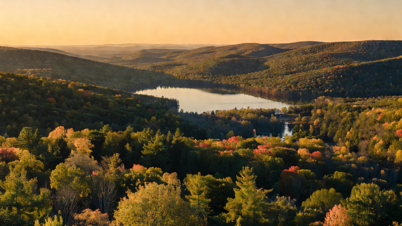
Allegheny National Forest
Where the camps cluster
The place
The Allegheny sits in the northwest corner of Pennsylvania, spread across Warren, McKean, Forest and Elk counties with its headquarters in Warren. It is the only national forest in the state, and roughly ninety percent of it is under tree cover.
Don't come here looking for jagged peaks. This is the Allegheny Plateau -- high, broad tableland cut into by creeks and river valleys, so the relief comes from how deep the water has carved rather than how high the rock stands. In the Hickory Creek country, for instance, the ground runs from about 1,273 feet where East Hickory Creek leaves the wilderness up to a plateau top near 1,900 feet. The Allegheny River runs through the middle of it, and behind Kinzua Dam it backs up into the Allegheny Reservoir, a 24-mile impoundment that reaches north across the line into New York. The Forest Service describes the place as a "healthy, vigorous, working forest" run under the old multiple-use banner, "Land of Many Uses" -- and that is exactly what you find: hardwood timber sales, oil and gas wellheads, mountain bike singletrack and old-growth cathedral pine, all inside the same boundary.
History
The Allegheny was established on September 24, 1923, assembled under the Weeks Act of 1911 -- the law that first let the federal government buy up worn-out private land in the eastern states and turn it into national forest. It needed the help. Between roughly 1890 and 1930 the plateau was logged about as completely as any place in America; the harvests of that era were the most thorough ever made here, and what stands today is the product of that cutting plus a century of Forest Service management. The change shows in the species list: in the 1700s eastern hemlock and American beech ruled this plateau and black cherry made up less than one percent of the trees. Today black cherry, maple and other hardwoods define the forest.
One quirk of that Weeks Act buying spree still shapes the forest: the government was short on money and bought the surface but generally not the minerals beneath it. Private citizens now own about ninety-three percent of the subsurface here, which is why you will drive past active oil and gas wells on public land. It is fitting country for it -- the forest lies only about 40 miles from Titusville, site of the first commercial oil well in the United States. In the 1930s the Civilian Conservation Corps built the Twin Lakes and Loleta recreation areas, both still in use.
The forest's hardest chapter is the reservoir. The Army Corps of Engineers built Kinzua Dam between 1960 and 1965 for flood control and hydropower. Filling it condemned 10,000 acres -- nearly a third of the Seneca Nation's Allegany Reservation, land guaranteed by the 1794 Treaty of Canandaigua signed under President Washington -- and forced the relocation of 600 Seneca people. That history is part of this place and worth knowing before you launch a boat on it.
Wildlife & plants
This is classic Northern Appalachian hardwood habitat: white-tailed deer, black bear, wild turkey, grouse, fisher, songbirds and trout in the creeks, with bald eagles working the reservoir and the river. The forest's original big predators are gone -- the eastern wolf and eastern cougar were wiped out during the settlement and logging era -- and the deer herd, once hunted down to near nothing, was restored and is now abundant enough to be a management problem in its own right.
The tree cover is the real story. Second-growth northern hardwood -- black cherry, maple, beech, birch -- carpets most of the plateau, but a few thousand acres were never cut. At the Tionesta Scenic and Research Natural Areas, American beech, eastern hemlock and some sugar maple 300 to 400 years old survive as a remnant of the roughly six-million-acre forest that once covered this plateau. Down on the Allegheny River, the islands carry a different community entirely: river-bottom willow, American sycamore, shagbark hickory, green ash and silver maple.
Notable features
Hearts Content Scenic Area in Warren County is the forest's showpiece -- a 120-acre tract whose famous 20 acres of eastern white pine and hemlock include trees over 40 inches in diameter and more than 140 feet tall, most of the white pine between 300 and 400 years old. A lumber company deeded the ground to the Forest Service in 1922, the Chief of the Forest Service recognized it as a scenic area in 1934, and it became a National Natural Landmark in 1973. The Tionesta Scenic and Research Natural Areas -- 4,131 acres, roughly 4,000 of them old growth -- earned the same National Natural Landmark status the same year.
Two designated wilderness areas were created here by Congress in 1984. Hickory Creek Wilderness covers 8,663 acres of gentle plateau between the forks of Hickory Creek, walked by an 11.6-mile loop trail. Allegheny Islands Wilderness is the opposite extreme: 368 acres scattered across seven alluvial islands in the Allegheny River -- Crull's, Thompson's, R. Thompson's, Courson, King's, Baker and No-Name -- making it one of the smallest wilderness areas in the country.
For hikers, 96.3 miles of the North Country National Scenic Trail cross the forest, through boulders, waterfalls and hardwood stands on the plateau. The Forest Service also counts over 150 miles of mountain bike trail and roughly 100 miles of off-highway-vehicle route, plus water recreation on the reservoir at spots like Kinzua Beach and a long view from Rimrock Overlook.
Camps are sourced from public U.S. Forest Service recreation data and have not been personally visited. Roads shown are Forest Service passenger-car routes (maintenance level 3–5) and may be seasonal or gated. Always confirm access, fees and fire rules with the ranger district before you go. Found a fee where we show free? Tell us on the contact page.