Bighorn National Forest
Where the camps cluster
The place
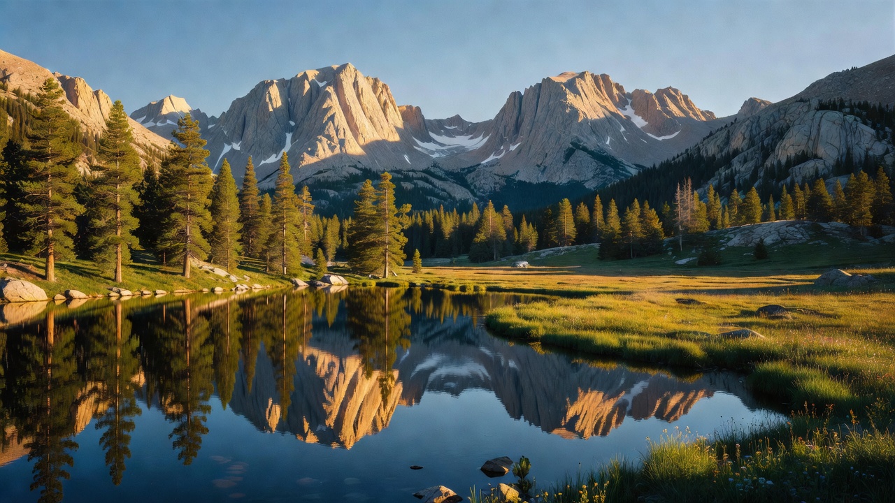
Bighorn National Forest covers the Bighorn Mountains of north-central Wyoming -- Sheridan, Big Horn, Johnson and Washakie counties -- in a band the Forest Service measures at about 80 miles long and 30 miles wide. The agency's own framing is the useful one: the Bighorns are a sister range of the Rockies, an outlier separated from the main chain by the Bighorn Basin, sitting roughly halfway between Mount Rushmore and Yellowstone. That geography is the whole character of the place. You approach across sagebrush and grassland near 5,000 feet, climb hard through canyon walls, and come out on rolling high country of meadows, lakes and spruce with 13,000-foot peaks off to one side. Nearly all of the forest sits above 5,000 feet, and the landscape the Forest Service advertises runs from grasslands to alpine meadows, clear lakes to glacier-carved valleys, rolling hills to sheer cliffs.
Three ranger districts run it: the Tongue district shares the supervisor's office in Sheridan, the Medicine Wheel district works out of Greybull on the west side, and the Powder River district out of Buffalo in the south. What makes the Bighorn friendly to a first visit is that three paved scenic byways cross the range -- U.S. 14 as the Bighorn Scenic Byway from Dayton over to Shell, U.S. 14A as the Medicine Wheel Passage running west off Burgess Junction, and U.S. 16 as the Cloud Peak Skyway over Powder River Pass at 9,677 feet, the highest pass in the forest. You can be in genuine high country without a permit, a long approach or a capable rig, which is not true of most ranges this size.
For camping, the practical notes matter more than the scenery. Dispersed camping is allowed across much of the forest and you may drive up to 300 feet off an open road to reach a site, with posted exceptions -- so check the motor vehicle use map rather than assuming. Firewood gathering needs a permit. And the season is short and snow-driven: campgrounds generally open late May into early June, the road to the Medicine Wheel is typically open by late June or early July, and Cloud Peak Wilderness trails are usually not snow-free until early July. June is the Forest Service's own pick for wildflowers. Note also that this is an attractant-storage forest: food lockers are provided at many campsites, and where there is no locker you are required to store attractants where wildlife cannot get them.
History
People have been coming up here for a very long time. The Forest Service describes human presence in the Bighorns going back thousands of years, and at the Medicine Wheel specifically the archaeological evidence points to Native American visitation for nearly 7,000 years. The range is culturally important to the Crow, Sioux, Cheyenne and Arapaho, and the Crow account of finding their sacred tobacco plant growing below Cloud Peak places them here some 300 to 400 years ago. Whoever built the Medicine Wheel did not leave a claim on it -- the Crow have said it was already there when they arrived.
The forest itself dates to February 22, 1897, when President Grover Cleveland signed the Big Horn Forest Reserve into being, which makes it one of the oldest pieces of government-protected forest land in the country. A Congressional act converted the reserve to the Big Horn National Forest in 1907, and in 1908 an executive order from Theodore Roosevelt closed up the name to Bighorn National Forest, which is what it has been ever since.
The industry that shaped these slopes was tie hacking -- hand-hewing railroad ties out of standing timber -- and the Bighorn ran one of the great operations. Cutting started on Sheep Creek in 1891 to supply 1.6 million ties for the Chicago, Burlington and Quincy Railroad's expansion, and the labor came largely from Swedish, Norwegian, Finnish, Austrian and German immigrants. A good hand could hew up to 25 ties in a day with a crosscut saw, a double-bitted axe and a seven-pound broadaxe with a blade 10 to 12 inches wide. Getting the ties off the mountain was the hard part, and the answer was water: a V-shaped flume running from Sheep Creek down the Tongue River Canyon, which operated from 1893 to 1913, reached about 38 miles in total length, and carried more than two million ties. Ties covered the 11 miles to the mouth of the canyon in about nine minutes -- WyoHistory puts the speeds at close to 75 miles per hour -- with flume walkers patrolling the trestles watching for jams. In winter the hauling was done on 16-foot sleds called go-devils, 50 ties to a load. The flume era ended in 1913 when the railroads started buying ties out of Washington and Oregon instead; tie cutting itself hung on in the Bighorns until the last major operation, begun west of Buffalo in late 1925, wound down around 1933. Tie Hack Campground, Tie Hack Reservoir and Tie Flume Campground are named for that era, and camps of the period ran to a commissary, boardinghouse, cookhouse, blacksmith shop, sawmill, barns and root cellar.
The other layer you will camp on top of is Depression-era public works. Civilian Conservation Corps crews worked the forest in the 1930s, and the Forest Service credits them between 1938 and 1940 with roads, bridges, ranger stations, fire lookouts, reservoirs, telephone lines, campgrounds and trails; Meadowlark Lake, one of the busiest recreation areas on the south end, was a CCC creation in 1936. Three historic fire lookouts are still standing.
Wildlife & plants
The animals you are most likely to actually see are elk, moose and deer. The Forest Service puts elk in the hillside meadows and forested slopes and moose in the wet ground -- meadows around streams, marshes, and the thick vegetation along rivers, creeks and ponds. Black bear and mountain lion are both present and both, in the agency's own words, are rarely seen. Beaver, snowshoe hare, squirrels and a lot of birds fill in the rest. Bear spray is worth carrying and works on more than bears: the forest notes the same capsaicin spray is effective on moose and mountain lions, which is the more realistic concern here. Attractant storage is mandatory, so use the lockers where they exist.
The vegetation stacks by elevation in the classic Rocky Mountain order. Ponderosa pine and Douglas-fir hold the lower slopes; lodgepole pine, subalpine fir and Engelmann spruce take over up high, with aspen groves that turn the canyons in fall and meadows that fill with wildflowers through spring and early summer. One honest warning the Forest Service makes a point of: poison ivy is native here and very common along the canyon trails at lower elevations, which is exactly where you will be walking on a hot day.
Water is the forest's quiet product. The Forest Service credits the range with supplying about 25 billion gallons of water to the surrounding valleys, and the reason is the elevation gradient -- the basin west of the Bighorns gets less than 10 inches of precipitation a year, while the Shell Creek country up in the mountains takes 20 to 23 inches, and Burgess Junction averages roughly 24 inches of precipitation with close to 250 inches of snow. The high country is fed by hundreds of lakes and the streams that drain them, and there is trout fishing throughout.
Notable features
The Cloud Peak Wilderness is the wild heart of the range: 191,914 acres running about 27 miles along the spine of the Bighorns, designated by the Wyoming Wilderness Act in 1984 but protected as the Cloud Peak Primitive Area as far back as 1932. Inside it are several hundred lakes, more than 100 miles of trail, and a mix of pine and spruce broken by meadows and wetlands that stays under snow into July. Cloud Peak itself is the high point of the forest at 13,167 feet, and Black Tooth Mountain nearby clears 13,000 as well, with roughly a dozen more summits in the range above 12,000 feet. Tucked into the deep cirque on Cloud Peak's east side is the Cloud Peak Glacier -- the last active glacier in the Bighorn Mountains, and a leftover from the Pleistocene ice that carved the cirques, U-shaped valleys and lake basins you hike through. Everyone entering the wilderness fills out a registration form at the trailhead kiosks; motorized and mechanized travel, bicycles included, is out.
The Medicine Wheel / Medicine Mountain National Historic Landmark is the other reason people come. The landmark covers 4,080 acres in Big Horn County, 12 miles south of the Montana line, and the wheel sits at 9,640 feet on bare limestone: a roughly circular pattern of stones about 82 feet across, with 28 radial lines running out to the rim, a central cairn about 12 feet wide and six more cairns around the perimeter. Age estimates run from several hundred to more than 3,000 years, and the only hard scientific date is a tree-ring sample from the western cairn whose last growth ring dates to 1760 -- a minimum age, not a construction date. It is an active sacred site, not a ruin, and the Forest Service manages it under a historic preservation plan with consulting parties that include the Medicine Wheel Alliance and the Medicine Wheel Coalition. Plan around the access: the road opens July 1, foot access generally runs mid-June through mid-September, and from the lower parking lot it is about a mile and a half in, three miles round trip, with a small lot near the wheel for people who cannot make the walk.
The geology is worth slowing down for, because the Bighorns put a staggering amount of time in one road cut. The range was pushed up in the Laramide orogeny beginning about 70 million years ago, shouldering up more than 9,000 feet of sedimentary layers from the Cambrian through the Lower Cretaceous, and the Precambrian core underneath includes rocks about 3.25 billion years old -- among the oldest on earth. Thrust faulting and erosion cut the canyons that give the forest its edges: Shell, Tensleep, Crazy Woman, Tongue River and Devil canyons. The single best place to see it is Shell Falls, on the Bighorn Scenic Byway about 11 miles east of Shell at 6,269 feet, where Shell Creek drops 120 feet over granite at roughly 3,600 gallons a second. From the overlook you are looking at Cambrian Flathead sandstone, about 550 million years old, lying directly on 2.9-billion-year-old Precambrian rock -- with two billion years of missing time in the seam between them. Elsewhere along the byways, Steamboat Point, Sibley Lake, Powder River Pass and the Burgess Junction Visitor Center, open Memorial Day through Labor Day, are the easy stops.
Camps are sourced from public U.S. Forest Service recreation data and have not been personally visited. Roads shown are Forest Service passenger-car routes (maintenance level 3–5) and may be seasonal or gated. Always confirm access, fees and fire rules with the ranger district before you go. Found a fee where we show free? Tell us on the contact page.