Black Kettle National Grassland
Where the camps cluster
The place
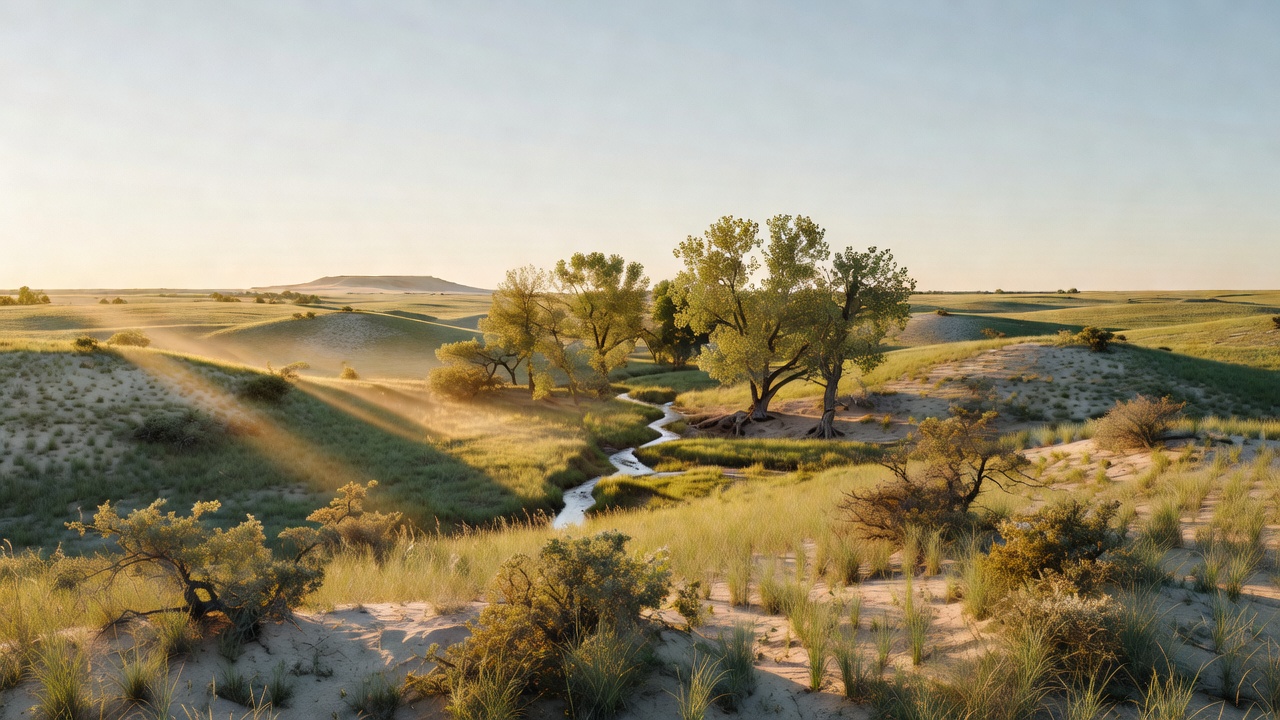
This is mixed-grass prairie on the western edge of Oklahoma, about 31,000 acres of it, and the first thing to understand is that it is not one place. Black Kettle National Grassland is roughly a hundred separate tracts of public land interspersed with private ranchland, spread across Roger Mills County around the town of Cheyenne, with one detached piece -- the Lake Marvin unit -- over the line in Hemphill County, Texas near Canadian. Know where the boundary is before you drive off the road; on a checkerboard like this, the fence you're looking at is as likely to be somebody's ranch as the next tract of grassland. The country reads as sandy and red slate hills, open grass, and oak brush, with cottonwood, elm and hackberry down in the creek bottoms where there's water. The Washita River runs through it here near its headwaters, and it is not the river you're picturing -- only a few feet wide and shallow. The campgrounds sit around 2,100 feet. The Forest Service runs the place from a district office in Cheyenne, Oklahoma, but on paper it belongs to the Cibola National Forest and National Grasslands, headquartered in New Mexico -- the Cibola spans about 1.9 million acres across the width of that state and administers four national grasslands out here on the plains: Black Kettle, McClellan Creek, Kiowa and Rita Blanca. Everything is open year-round, and the recreation sites are small, plain and free.
History
Two histories sit on top of each other here. The older one ended on November 27, 1868, when Custer's 7th Cavalry -- 689 troopers plus Osage scouts -- attacked Black Kettle's Southern Cheyenne camp on the Washita at dawn. The National Park Service puts the dead at roughly 30 to 60 Cheyenne and 20 cavalrymen, with 53 women and children taken captive and about 650 of 875 captured horses and mules shot; the lodges and the village's entire winter supply of food and clothing were burned. Black Kettle, born around 1803 in the Black Hills and a chief of the Cheyenne Council of Forty-four by 1854, had spent his last years signing treaties -- Fort Wise in 1861, the Little Arkansas on October 14, 1865, Medicine Lodge on October 28, 1867 -- and had already lived through the Sand Creek Massacre of November 29, 1864, where Colonel Chivington's militia killed 163 Cheyenne, most of them women and children, while Black Kettle flew an American flag and a white flag over his lodge. He died at the Washita anyway. Congress established Washita Battlefield National Historic Site on November 12, 1996. The newer history is about dirt. Poor farming and grazing practices, combined with wind, drought and rain, stripped the topsoil off this country during the Dust Bowl of the 1930s. The federal government bought out bankrupt farmers under the New Deal land-purchase programs, and the Bankhead-Jones Farm Tenant Act of 1937 handed the land to the Department of Agriculture to be repaired; the Soil Conservation Service started replanting here in 1938. The Forest Service took over the old Land Utilization Projects in 1954, and on June 20, 1960 about 3.8 million acres of them were formally designated as the National Grasslands. Black Kettle is one of them -- ground that blew away and was put back on purpose.
Wildlife & plants
This is edge country -- grass, brush and wooded creek bottoms braided together -- and that mix is why the hunting is good. White-tailed deer, wild turkey and quail are the headline species, and the Oklahoma Department of Wildlife Conservation co-manages the Oklahoma portion of the grassland as the Black Kettle Wildlife Management Area, so hunting and wildlife-watching here run under state WMA rules -- check the ODWC regulations for seasons and permits before you come. The region is also lesser prairie-chicken country, the shy, booming grouse of the southern plains whose federal status has been a decade-long argument: the U.S. Fish and Wildlife Service listed two distinct population segments in a final rule published November 25, 2022, then removed both from the endangered species list on February 26, 2026 in compliance with a court order, so Endangered Species Act protections no longer apply to either segment. The birds are still there; the paperwork changed. Plant-wise, expect mixed-grass prairie with oak brush on the sandy ground and a hardwood ribbon of cottonwood, elm and hackberry following the drainages. In the lakes it's bass, catfish and panfish.
Notable features
Washita Battlefield National Historic Site is the reason most people come, and it sits right next to the grassland outside Cheyenne with a visitor center and a walking trail of about a mile and a half down into the village site -- a quiet, exposed piece of prairie that does not need much interpretation to land. On the grassland proper, the Forest Service runs two campground complexes, one at Black Kettle Lake in Oklahoma and one at Lake Marvin in Texas, each with 12 camping units, potable water, vault toilets and picnic tables, open year-round, no fee, first come first served. Skipout Campground, about 15 miles west of Cheyenne, is the same deal -- 12 units, water, vault toilets -- on its own small lake with a hiking trail. Other lakes on the Oklahoma side, including Dead Warrior and Spring Creek, are small fishing waters in the 50-to-80-acre range. Beyond the developed sites there are several designated dispersed camping locations with little to no amenities -- the Forest Service's recreation site map shows two dozen of them -- which is the real draw if you want to be alone on the prairie. Day use rounds it out: the Black Kettle Interpretive Trail, the Cheyenne Nature Walk interpretive site, the Croton Creek Trailhead, picnic areas, motorized boating and fishing on the lakes, and mountain biking. Nothing here is big. That is rather the point.
Camps are sourced from public U.S. Forest Service recreation data and have not been personally visited. Roads shown are Forest Service passenger-car routes (maintenance level 3–5) and may be seasonal or gated. Always confirm access, fees and fire rules with the ranger district before you go. Found a fee where we show free? Tell us on the contact page.