Caddo National Grassland
Where the camps cluster
The place
Caddo National Grassland sits in Fannin County, up in the Texoma country on the Oklahoma side of northeast Texas. Two creeks define the county and, between them, the grassland: Bois d'Arc Creek, which runs 68 miles from eastern Grayson County and joins the Red River on the Fannin-Lamar line, passing through the grassland on its way; and the Sulphur, which drains the southern part of the county. The grassland comes in two pieces that do not touch. The Bois d'Arc Creek Unit is the northern and much larger one, reached from Honey Grove; the Ladonia Unit lies to the south, named for the town beside it. Neither unit is a block of land. Texas Parks and Wildlife, which manages the hunting here under a cooperative agreement with the Forest Service, describes a state wildlife management area of 16,140 acres made up of the Bois d'Arc Creek Unit's 13,360 acres in six separate tracts and the Ladonia Unit's 2,780 acres in twelve separate tracts. That is the single most important planning fact about this place: eighteen scattered parcels, private land in between, and TPWD says plainly that the Ladonia tracts are hard to tell apart from their neighbors on the ground. Bring the map. Know where you are.
Administratively Caddo is run as a pair with the Lyndon B. Johnson National Grassland out of a district office in Decatur -- the two are described together as lying northeast and northwest of the Dallas-Fort Worth metroplex -- and both roll up to the National Forests and Grasslands in Texas, whose supervisor's office in Lufkin oversees roughly 675,000 acres of federal land statewide. Be careful with trail numbers you find online: the frequently quoted figure of nearly 75 miles of multipurpose trail belongs to the LBJ Multiuse Trail system on the other grassland, not to Caddo, and third-party sites reprint it as Caddo's anyway. No Caddo-specific mileage appears on the Forest Service's current pages, so ask Decatur for the trail map rather than trusting a number.
This is working land, not a preserve, and the Forest Service says so directly: the grasslands provide grazing for cattle and habitat for wildlife alongside the recreation. Expect fences, gates and cows. Both of the ecoregions that meet here, the Blackland Prairies and the Post Oak Savannah, run 28 to 40 inches of rain a year, which is why the country is green and brushy rather than the short, dry grass most people picture when they hear 'national grassland.' On the rules: the current occupancy and use order for all Texas national forests and grasslands, in effect September 29, 2025 through December 31, 2027, caps any campsite at 14 days in any 30-day period and limits you to two vehicles per camp unit, motorcycles and bicycles excepted. That order sets limits; it does not by itself grant dispersed camping anywhere you like, so if you are planning to camp outside the developed sites, call the Decatur office at (940) 627-5475 and ask before you go. Horseback riding is open year-round, horses must have a negative Coggins test certifying them free of Equine Infectious Anemia, and in designated campsites they have to stay haltered on a lead or in a pen.
History
The name belongs to the Caddo, whose homeland took in northeast Texas, western Louisiana, southwestern Arkansas and southeastern Oklahoma, centered on the Red River -- Bah'hatteno in their language -- and the Caddo River. They were farmers first: extensive maize agriculture that produced enough surplus to support unusually dense settlement, and earthwork platform mounds raised by the Caddoan Mississippian culture that flourished from roughly 800 to 1400 CE. By the time Europeans arrived they were organized in three confederacies, and the one whose country included the Texas-Oklahoma-Arkansas border ground was the Kadohadacho. The Kadohadacho signed a removal treaty in 1835; after Texas statehood in 1845 the violence against them escalated, and in 1859 many Caddo were relocated north into Indian Territory. Today about 6,300 people belong to the federally recognized Caddo Nation of Oklahoma, headquartered at Binger. One piece of them stayed behind in plain sight: the word Texas comes from the Hasinai Caddo word taysha, meaning friend.
What came after them is the reason this is federal land. The Blackland Prairie is named for deep, fertile black soil, and that soil grew tallgrass -- big bluestem, little bluestem, indiangrass, switchgrass -- until it grew cotton instead. TPWD's own summary of the region is blunt: much of the original prairie has been plowed. In Fannin County the plowing outran the soil, and by the Depression a lot of this ground was simply used up and eroding. Wikipedia records the straightforward version of what happened next: the land here was purchased in the 1930s with the goal of restoring the eroded soil.
That purchase was part of a national program. The Forest Service's own account credits the National Industrial Recovery Act of 1933 and the Emergency Relief Appropriations Act of 1935 with letting the federal government buy up damaged land, restore it, and resettle destitute families off it. The acquired tracts were run as Land Utilization Projects, and the long-term authority for holding and managing them came from Title III of the Bankhead-Jones Farm Tenant Act of 1937 -- a title whose actual heading, 'Retirement of Submarginal Land,' tells you exactly how Washington thought about these acres. Management eventually landed with the Forest Service, and on June 23, 1960 the national grasslands were formally designated as such: 20 units totaling almost four million acres, seventeen of them strung from the North Dakota badlands down the Great Plains to north-central Texas. Caddo is at the bottom of that string.
The lakes date from the same era as the buyout. Both Coffee Mill Lake and Lake Crockett were built in the 1930s -- the Forest Service notes Lake Crockett was built as a recreation site for the area. The campgrounds came much later: the recreation areas at Coffee Mill and at East Lake Crockett were both completed in 1968, and Coffee Mill got another round of major construction in the early 1990s, done by volunteers.
Wildlife & plants
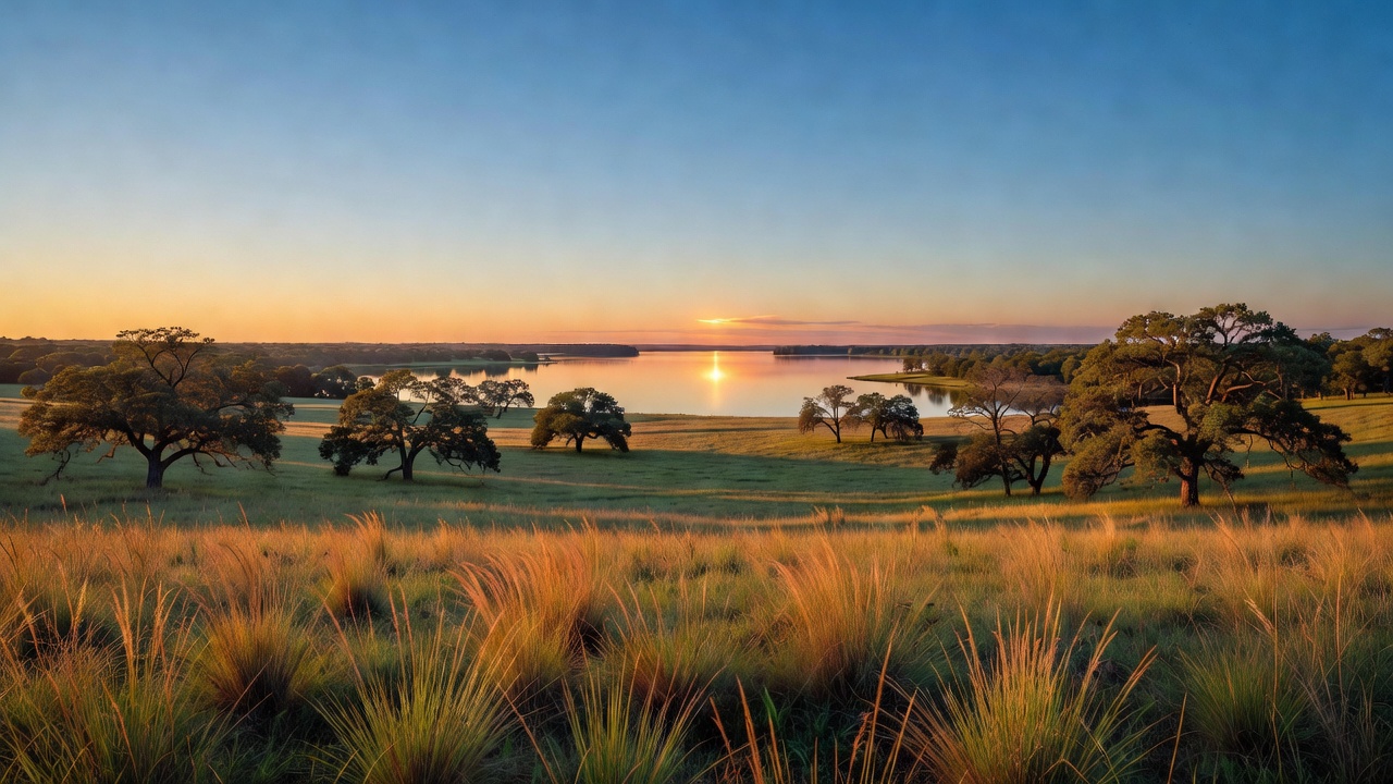
Do not come here expecting an ocean of grass. Caddo sits where the Blackland Prairie meets post oak savannah country, a transitional zone where Great Plains species run into eastern forest species, and with 28 to 40 inches of rain a year the untended parts grow up thick. TPWD calls what you walk through on the Bois D'Arc Trail a mosaic of habitats, and that is the honest description: grass, brush, oak woods, creek bottoms and lake edges in no particular order.
The game list is a north Texas game list. White-tailed deer are abundant, and the state hunts squirrel, dove and other migratory game birds, quail, rabbit and hare, waterfowl, predators and furbearers here, plus feral hogs. Coyotes and bobcats are around and occasionally seen. In the water there are crappie, catfish, perch and largemouth bass, with Florida largemouth bass stocked in Lake Davy Crockett.
Birding is the quiet strength of the place. Summer tanagers and painted buntings work the edges along the Bois D'Arc Trail with field sparrows, eastern bluebirds, Carolina chickadees, tufted titmice and nuthatches; the lakeshores hold great blue and green herons, yellow-billed cuckoos, eastern phoebes and wintering waterfowl. The best show is late summer at Coffee Mill Lake, when terns that nested on the Red River move through -- including the interior least tern. Note that TPWD's birding page still calls that bird endangered; the U.S. Fish and Wildlife Service removed the interior least tern from the federal endangered list effective February 12, 2021, having concluded it had recovered, and it remains protected under the Migratory Bird Treaty Act. Bring binoculars for the bugs too. The lakeshores are thick with dragonflies -- slaty and widow skimmers, eastern amberwings, halloween pennants out in the fields -- and red-spotted purple butterflies patrol the trail.
Notable features
Coffee Mill Lake is the anchor. It is 750 acres, built in the 1930s, with a recreation area on the north shore that has 13 picnic units, vault toilets, potable water, a fishing pier and a floating dock, and a ramp for motorized boats. Camping runs $10 per night for a single site; day use is $2 per vehicle per day or $30 for the annual pass. From Honey Grove it is north on FM 100 for 12 miles, then west on FM 409 five miles to the entrance on the left.
Lake Crockett -- Lake Davy Crockett on some signs and maps -- is the other one, 450 acres with recreation areas on both the northeast and northwest shores. The west side has 12 campsites, first come first served, and you have to show up in person to claim one. TPWD lists restrooms, drinking water, a campground and wheelchair-accessible facilities on the east side. Confirm the current state of the water and the boat ramps with the Decatur office before you count on either; small Forest Service sites like these go on and off line without much announcement. Lake Crockett is also where the Florida largemouth went in.
The Bois D'Arc Trailhead is what makes Caddo worth a special trip if you ride. It is a purpose-built horse camp: 26 campsites with picnic tables, sanitary facilities, potable water and a horse washing area, $10 a night, first come first served, paid on site with cash, check or the Scan-and-Pay QR code. There is a pavilion with a grill, quiet hours run 10 p.m. to 6 a.m., and site #26 is fully accessible with a path to the restroom. Directions are the same as Coffee Mill until the last stretch: north out of Honey Grove on FM 100 for 12 miles, then west on FM 409 about five and a half miles to the trailhead on the left. Riders, mountain bikers and hikers all use the trails out of it.
Hunting here runs through the state, not the Forest Service, and the rules are stricter than most people expect on federal ground. The Caddo National Grasslands WMA is administered by the Forest Service under a cooperative agreement with Texas Parks and Wildlife. You need an Annual Public Hunting Permit for most hunting, some hunts go by drawing, and on-site registration is required. All pasture roads are closed to vehicle traffic. Hunter orange is required during daylight for firearm hunting except when after turkey, waterfowl or dove, and there is a mandatory deer check station on the opening weekend of the general gun season -- every deer checked from the Saturday opening until noon Sunday. Trapping predators and furbearers takes a separate Forest Service permit. Season dates and permit rules move year to year, so pull the current TPWD public hunting booklet before you load the truck.
Camps are sourced from public U.S. Forest Service recreation data and have not been personally visited. Roads shown are Forest Service passenger-car routes (maintenance level 3–5) and may be seasonal or gated. Always confirm access, fees and fire rules with the ranger district before you go. Found a fee where we show free? Tell us on the contact page.