Chattahoochee-Oconee National Forests
Where the camps cluster
The place
The Chattahoochee-Oconee National Forests are two very different Georgia forests managed together from a single supervisor's office in Gainesville. The broad boundary drawn on the map is large, but the actual national-forest land inside it is closer to 867,000 acres, most of it up in the Chattahoochee. That northern forest is the mountain half -- the southern tail of the Blue Ridge and the rugged Cohutta country, full of cold trout streams, laurel thickets, and waterfalls, climbing to the highest point in the state. The Oconee is the other half, an hour or two south in the rolling Piedmont: quieter pine and hardwood woods on old, tired farmland that the federal government bought and reforested in the last century. One unit, two worlds -- mountain hollows in the north, red-clay pine country in the middle of the state.
History
The two forests came together in different eras and for different reasons. The Chattahoochee was formally established in 1936, assembled out of the cut-over and badly eroded mountain land of north Georgia -- some of the earliest federal tracts here had even been managed as part of the neighboring Cherokee National Forest before Georgia got a forest of its own. Long before any of that, these mountains were the heart of the Cherokee homeland; the name Chattahoochee itself comes from the Muscogee (Creek) language and is usually translated as 'painted' or 'marked rocks,' for the colored stones along the river. The Oconee, down in the Piedmont, was proclaimed later, in 1959, on farmland that generations of cotton had worn out and gullied -- the government bought the exhausted fields and let the forest return, part of the same broad effort (opened up by the Weeks Act of 1911, which first let the government buy eastern forestland) that put the woods back across the worn-out South. A local legend of the mountain half is ranger Arthur Woody, the 'barefoot ranger,' long remembered for personally helping bring the deer herd back to these mountains after hunting had nearly wiped it out, and for restocking the streams with trout.
Wildlife & plants
This is black-bear country, especially up in the Chattahoochee mountains, where the southern Appalachian bears roam the hollows -- keep a clean camp and put your food away. White-tailed deer and wild turkey are common across both forests, and the mountain deer herd is itself a comeback story. The cold, clear headwater streams of the north hold trout: brook trout are the only kind native to these southern mountains, while the rainbows and browns most anglers chase were brought in later. Down in the Oconee Piedmont the signature species is different -- stands of pine are managed for the red-cockaded woodpecker, a small endangered bird that nests only in living old pines. Add in beaver, bobcat, and a deep mix of songbirds, and -- a north-Georgia summer specialty -- 'blue ghost' fireflies, which glow a steady, eerie blue-white instead of blinking as they drift low through the dark woods.
Notable features
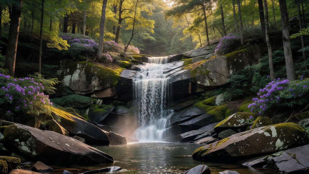
The northern forest's crown is Brasstown Bald, at about 4,784 feet the highest point in Georgia, with a summit lookout that on a clear day is said to take in several states at once. The Appalachian Trail begins here too: its southern end sits atop Springer Mountain, deep in the Chattahoochee -- the terminus was moved to Springer back in 1958 from nearby Mount Oglethorpe. The forest cradles the headwaters of the Chattahoochee River, which starts as a mountain trickle and eventually flows past Atlanta, and along its eastern edge it shares the Chattooga, a federally protected Wild and Scenic river on the Georgia-South Carolina border (its headwaters reach up into North Carolina) -- the whitewater that stood in for the movie 'Deliverance.' Waterfalls are everywhere, from the twin cascades of Anna Ruby Falls to dozens of smaller drops, and the Cohutta Wilderness in the northwest is one of the largest wilderness areas in the eastern United States. Tucked high in the Cohuttas, Lake Conasauga -- built by the Civilian Conservation Corps -- is often called the highest lake in Georgia.
Camps are sourced from public U.S. Forest Service recreation data and have not been personally visited. Roads shown are Forest Service passenger-car routes (maintenance level 3–5) and may be seasonal or gated. Always confirm access, fees and fire rules with the ranger district before you go. Found a fee where we show free? Tell us on the contact page.