Huron-Manistee National Forest
Where the camps cluster
The place
Huron-Manistee National Forests -- plural, and that's not a typo -- is the only national forest in Michigan's Lower Peninsula, and it comes in two pieces that don't touch. The Huron side sits out east toward Lake Huron, jack pine plains and the Au Sable River running through them. The Manistee side sits west toward Lake Michigan, all dunes, canoe rivers, and hardwood hills. They were separate forests until 1945, when the Forest Service started running them as one, and they still feel like two different trips. Figure on roughly 978,000 acres of actual National Forest System land -- nearly a million acres of federal ground -- scattered inside a proclamation boundary of about two million acres that also takes in a lot of private land and small towns. That checkerboard is part of the character here, not a flaw: you're rarely far from a paved road or a diner, and you're rarely far from a place to disappear either.
History
This is a forest that got used up and then given back. The white pine boom of the 1800s stripped northern Michigan hard, and the fires that ran through the slash left behind what people at the time called stump land -- worn-out, burned-over ground nobody wanted to pay taxes on. The government bought a lot of it back in the Weeks Act era and through the Depression years, and the Civilian Conservation Corps did the sweaty part, planting trees across country that had been sand and blackened stumps. The Huron is usually dated to 1909 under Theodore Roosevelt, though the honest version is messier -- the early Michigan forest units got renamed and reshuffled, and the Huron name as we know it settled in around the late 1920s. The Manistee came later, in 1938. They were joined administratively in 1945. The names themselves point at the country: Huron for the Great Lake and the people, Manistee for the river, which is said to come from an Ojibwe word -- you'll hear 'spirit of the woods' most often, though the meaning isn't settled.
Wildlife & plants
The headliner is a small gray-and-yellow bird. The Kirtland's warbler nests overwhelmingly in young jack pine in northern Lower Michigan, with the Huron side at the heart of its recovery, and it will only use stands at roughly the right age -- young and dense, not mature. That's the honest, counterintuitive thing about this place: the warbler is here because the forest gets cut and replanted on a cycle, not because it was left alone. It came off the federal endangered list in 2019, credited to that habitat work plus decades of controlling brown-headed cowbirds, and it took the Forest Service, the state, the Fish and Wildlife Service, and a lot of private hands to do it. The other conservation story is the Karner blue butterfly, a federally endangered thumbnail-sized blue whose caterpillars eat wild lupine and nothing else -- it still turns up in the Manistee's oak and pine barrens, but it's managed and monitored, not abundant, so don't count on seeing one. Otherwise it's white-tailed deer everywhere, black bears (keep a clean camp), bald eagles over the rivers, and loons on the quiet lakes. The water runs brown trout, steelhead, and salmon depending on where you stand. The trees shift as you cross: jack pine and red pine on the sandy plains, oak and aspen in the middle, sugar maple, beech, and hemlock in the richer hollows, and out on the Lake Michigan dunes, Pitcher's thistle -- a threatened plant that grows nowhere but the Great Lakes dunes.
Notable features
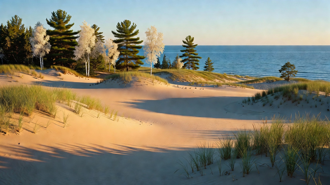
On the Manistee side, Nordhouse Dunes Wilderness is the prize: about 3,450 acres of open dune and forest right on Lake Michigan, designated under the Michigan Wilderness Act of 1987, and the only National Forest wilderness in Michigan's Lower Peninsula (Sleeping Bear Dunes, run by the Park Service and designated in 2014, is the other federal wilderness down here). The Pere Marquette River was designated a National Scenic River in 1978 -- about 66 miles of it -- and runs free with no dams on the mainstem, with salmon and steelhead runs that mostly reproduce on their own now. The Manistee River Trail ties into the North Country National Scenic Trail to make a loop of roughly 20 to 23 miles that's probably the best-known backpack in the Lower Peninsula. Also on the Manistee: Loda Lake, which the Forest Service calls the only wildflower sanctuary in the whole National Forest System, run in partnership with the Michigan Garden Clubs since 1949. Over on the Huron side, the Au Sable River is the star -- the River Road National Scenic Byway follows it about 22 miles inland from Lake Huron, and Lumberman's Monument, a 14-foot bronze of three lumbermen dedicated in 1932, stands on the high bank looking out over the valley they cut.
Camps are sourced from public U.S. Forest Service recreation data and have not been personally visited. Roads shown are Forest Service passenger-car routes (maintenance level 3–5) and may be seasonal or gated. Always confirm access, fees and fire rules with the ranger district before you go. Found a fee where we show free? Tell us on the contact page.