National Forests in Mississippi
Where the camps cluster
The place
National Forests in Mississippi is an administrative unit, not a single place on the map. Six separate national forests -- Bienville, De Soto, Delta, Holly Springs, Homochitto and Tombigbee -- are run together as one forest out of a supervisor's office on Lakeover Road in Jackson, and the Forest Service's own shorthand for the whole thing is about 1.2 million acres running from 'pine forests of the Gulf Coastal Plain to the upland hardwoods in the northern part of the state.' Confusingly, six forests are covered by seven ranger districts: Bienville out of Forest, Chickasawhay out of Laurel, Delta out of Rolling Fork, De Soto out of Wiggins, Holly Springs out of Oxford, Homochitto out of Meadville and Tombigbee out of Ackerman. Figure out which district you are actually headed for before you call anybody, because the names do not line up one-to-one with the forests.
The six are wildly different from each other, and that is the whole appeal. De Soto is the giant at 518,587 acres across ten counties between Hattiesburg and Gulfport -- flat piney woods, sandy longleaf ridges, blackwater creeks, and the closest thing the state has to backcountry. Homochitto, 191,839 acres in the southwest, sits on loess and has what the Forest Service cheerfully calls 'the uncharacteristically steep terrain of Mississippi.' Bienville, 178,541 acres east of Jackson, is pine and oak with a stand of genuine old growth in the middle of it. Holly Springs, 155,661 acres up north, is hill country of reforested farmland. Tombigbee, 67,005 acres in two chunks in the northeast, sits right against the Natchez Trace Parkway. And Delta, 60,898 acres in the Yazoo River Basin out toward Vicksburg, is a flooded hardwood bottom that looks and behaves like nothing else in the National Forest System.
Plan for the South, not the mountains. This is humid, buggy, low-elevation country where the good season runs fall through spring and summer is a test of character; the forests draw more than a million visitors a year, but they are not crowded the way western forests are. It is also working forest interleaved with a great deal of private land -- Holly Springs alone manages its 155,661 federal acres interspersed with roughly 530,000 acres of private property -- so knowing whose ground you are standing on matters. Expect prescribed fire: the unit treats around 200,000 acres a year, burns are scheduled off National Weather Service forecasts, and smoke or a closed road in burn season is normal, not a crisis. Camping rules vary by district and are worth checking one at a time. Delta has 57 primitive campsites scattered through the forest at $7 a night, reserved through recreation.gov. Along Black Creek in the De Soto, primitive camping is allowed on national forest land up and down the stream, but the Forest Service is specific that off the water it means the Black Creek Hiking Trail only -- no overnight stays on the landings -- and length-of-stay limits apply in the developed camping areas. Some day-use sites charge, like the $5 per vehicle at Okhissa Lake.
History
The reason Mississippi has national forests at all is that in the 1920s and 1930s a lot of this ground had been logged out, farmed out, or both. The 1911 Weeks Law let the federal government buy private land back into public hands, the Clarke-McNary amendment widened that authority to buying for timber growth and the protection of stream headwaters, and Franklin Roosevelt pushed hard to extend the National Forest System into the eastern states. Mississippi's legislature passed the enabling legislation that let the government buy here in 1926. In 1933 a team went out and evaluated all the land that would become the National Forests in Mississippi, and three years later the proclamations came in a rush: Bienville and Holly Springs on June 15, 1936, De Soto on June 17, and Homochitto on June 20. Later that same year the four were combined administratively into the single unit that still runs them today. Two more were added much later -- Tombigbee on November 27, 1959, and Delta on January 12, 1961.
What the government bought was damage. The Tombigbee and Holly Springs country was abandoned farmland with rapidly eroding soils, hillsides that had been cropped until the topsoil washed off them. The fix was the Civilian Conservation Corps, which set up camps in each newly purchased area and went to work: Forest Service buildings, gravel roads, power and telephone poles, recreation sites, and pine planted by hand across the clear-cuts. The species of choice on the ruined northern farmland was loblolly, with some shortleaf -- easy to plant, tolerant of depleted soil, and generous enough with its needles to blanket the ground and stop the bleeding. That is why so much of Mississippi's national forest is pine of suspiciously uniform age. Fire towers went up too, and the Forest Service counts 42 of them built across Mississippi's national forests between 1934 and 1958 -- a program the CCC started and that outlived it by years. By 1985 only 23 were left. Today just eight are still standing.
The human history runs a great deal deeper than the 1930s, and the forests protect some of it directly. In the Tombigbee, the Owl Creek Mounds are a group of platform mounds from the early Mississippian period -- the Forest Service dates the site to roughly A.D. 1000 to 1200, and it is listed on the National Register of Historic Places. Archaeologists from Mississippi State University, working under Janet Rafferty in 1991 and 1992, found structural remains on three of the mounds. The names on the map carry the layers too: Bienville is named for Jean-Baptiste Le Moyne de Bienville, the French colonial figure, and De Soto for the Spanish expedition, while Homochitto, Chickasawhay, Shongelo, Puskus, Noxubee, Yalobusha and Tombigbee are Native names that outlasted everybody. Homochitto means 'big red' -- the local Indian name for the river.
Wildlife & plants
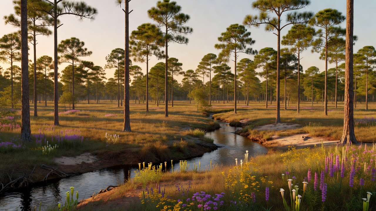
The signature ecosystem here is longleaf pine, and it is one of the great losses of American conservation -- a forest type that once covered as much as 90 million acres from Virginia to East Texas and now sits at less than five percent of that range. De Soto National Forest protects some of the best of what is left: longleaf pine savanna, pine flatwoods and dry, sandy longleaf and scrub oak ridges, which is a big part of why it is described as one of the most important protected areas for the biological diversity of the Gulf Coast ecoregion. Longleaf country is not a shady forest. It is an open, grassy, park-like place that only exists because it burns, and everything in it is built around fire. That is the reason for the Forest Service's 200,000 acres a year of prescribed burning: scientific study suggests naturally occurring fire may once have run across large parts of eastern Mississippi as often as every one to three years, and the burns are a deliberate attempt to put that rhythm back. The species that come with it are the ones the Forest Service's De Soto longleaf restoration work is aimed at -- the endangered red-cockaded woodpecker, which needs mature living pines to nest in, plus the gopher tortoise, the black pine snake and the gopher frog.
Down in the wet pine savannas the plants are the show. These are carnivorous-plant grounds -- pitcher plants above all -- and Buttercup Flats in the De Soto has an international reputation for its diversity of them. Rarities in the savannas include the many-flowered grass-pink orchid, Calopogon multiflorus. Along Black Creek the water runs deep caramel-brown, stained by tannic acid out of decaying vegetation, with bottomland hardwoods and white sandbars along the banks; the corridor holds rare aquatic species including the Pearl darter and the yellow-blotched map turtle, and wood ducks and otters are a common sight from a canoe.
Delta is the other world entirely. It is a bottomland hardwood forest -- green ash, overcup oak, sweetgum -- and being in the Mississippi Flyway makes spring and fall migration there genuinely good; volunteers running the annual butterfly count there have averaged over 21,000 butterflies and 32 species. Up north the forests are oak-and-pine hill country, and the day-to-day animals across most of the unit are the familiar southern ones: white-tailed deer, wild turkey and small game, hunted under state wildlife management areas laid over the federal land. The quiet biodiversity is real even where nothing is charismatic -- Homochitto alone holds roughly 850 vascular plant species, somewhere between eight and eleven documented freshwater mussels, and three winter stoneflies, one of which, Allocapnia starki, was described as a new species. The honest problems are invasive ones. Kudzu is a management target on the Holly Springs, where the stated goals include encouraging native communities, eliminating non-native invasives and restoring shortleaf pine ecosystems, and recent years have brought an influx of wild pigs into the Bienville.
Notable features
Black Creek is the crown jewel. In 1986 Congress put it in the National Wild and Scenic Rivers System, making it the first and only wild and scenic river in Mississippi, and it earns it -- deep black water, tall colorful bluffs, broad white sandbars, trees and flowering shrubs leaning out over the banks, and a floating pace that is best described as unhurried. Six launch points serve canoeists. Alongside it runs the Black Creek Hiking Trail, 39 miles from Fairley Bridge Landing to Big Creek Landing with more than 100 bridges and boardwalks over the sloughs, about 10 miles of it inside the Black Creek Wilderness -- 5,052 acres designated in 1984, one of the state's two wilderness areas along with the Leaf. Together with the Tuxachanie Trail, reachable for day hikers from Airey Lake, the De Soto's two national recreation trails add up to over 60 miles through the piney woods. Horse people have the Big Foot Horse Trail, roughly 23.7 miles in four loops of five to eleven miles each, moderate going.
The Bienville hides the best-kept secret in the unit: the Bienville Pines Scenic Area, 223 acres of old-growth loblolly, one of the largest such stands left in Mississippi, with the biggest pines over 200 years old. It was made a National Natural Landmark in May 1976. So was Harrell Prairie, a surviving patch of the Jackson Prairie and, in the Forest Service's words, the largest and least disturbed prairie in Mississippi -- worth timing for spring, when the grasses and wildflowers go off. The district's everyday recreation is a pair of small lakes: Marathon Lake, 50 acres in Smith County, named for the Marathon Lumber Company that closed in 1929, and 5-acre Shongelo with its swimming area and seven picnic sites between Raleigh and Forest. The Shockaloe Trail is on the National Register of Trails and walks you past more than 60 years of forest management practice.
On the Homochitto, Okhissa Lake is the big draw -- 1,075 acres of water with 39 miles of shoreline, three miles south of Bude off Highway 98, day-use only at $5 a vehicle -- and Clear Springs is the old-fashioned counterpoint, a cool 12-acre spring-fed lake tucked into pine-covered hills with camping, swimming and hiking. Brushy Creek gives riders 5.5 miles of horse trail. The Tombigbee punches above its size: Davis Lake is a 200-acre lake within four miles of the Natchez Trace Parkway, Choctaw Lake has 20 campsites with utilities plus swimming and boating, the Owl Creek Mounds sit right there on the forest, and the trail mileage is surprisingly deep -- the 15-mile Witch Dance Horse Trail, 32 miles of single and double track at Noxubee Hills for hikers and mountain bikers, and a 12-mile Chickasaw ATV and motorcycle trail for machines no wider than 48 inches. Up north the Holly Springs runs to quiet water: Chewalla Lake, whose name comes from the Choctaw 'Chiho-la,' meaning supreme being, on ground with a history of Native ceremonial use; Puskus Lake; and remote Lake Tillatoba, which the Forest Service recommends for people who do not like crowds and do not need modern conveniences. Check before you drive: Chewalla and Puskus have both been listed closed. And Delta, finally, is its own kind of destination -- 57 primitive campsites, 19 multiple-use trails plus one hiking-only trail running from three-quarters of a mile to four and a half, the Blue Lake Recreation Area and the Little Sunflower River, all of it doubling as the roughly 60,000-acre Sunflower Wildlife Management Area under an agreement with the Mississippi Department of Wildlife, Fisheries and Parks.
Camps are sourced from public U.S. Forest Service recreation data and have not been personally visited. Roads shown are Forest Service passenger-car routes (maintenance level 3–5) and may be seasonal or gated. Always confirm access, fees and fire rules with the ranger district before you go. Found a fee where we show free? Tell us on the contact page.