Olympic National Forest
Where the camps cluster
The place
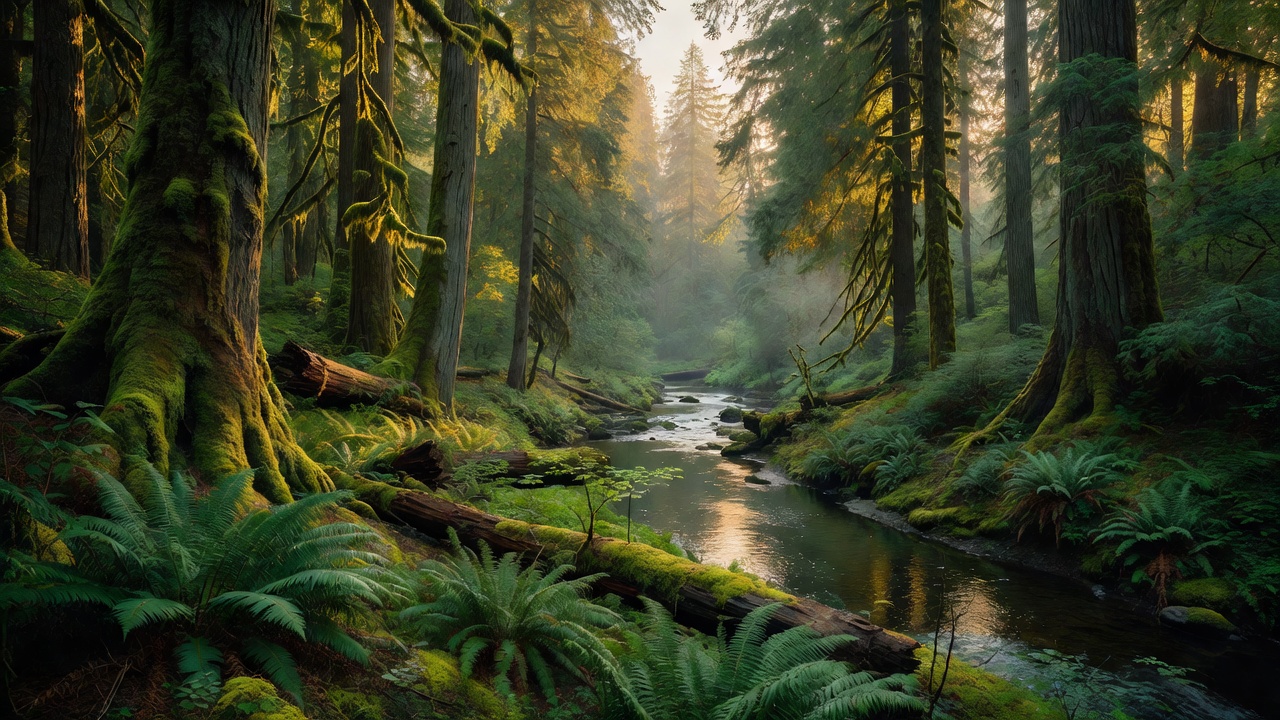
Olympic National Forest covers about 632,000 acres of National Forest System land on the Olympic Peninsula in western Washington, spread across Clallam, Grays Harbor, Jefferson and Mason counties. Its defining feature is its shape: the forest nearly surrounds Olympic National Park and the Olympic Mountain range, so it is mostly the lower and outer country -- the river valleys, the foothills, the approach ridges -- while the icy core of the range belongs to the Park Service. Mount Olympus, at 7,980 feet the high point of the peninsula, is inside the park, not the forest. That geography is exactly why this is useful ground for campers: it is the outside ring, the part with Forest Service roads, dispersed sites and campgrounds, wrapped around a park interior that has almost none of that. Two ranger districts run it. The Pacific Ranger District takes the west side of the peninsula, with offices in Forks and Quinault; the Hood Canal Ranger District takes the east, out of Quilcene. The supervisor's office is off the peninsula altogether, at 1835 Black Lake Blvd SW in Olympia. The Forest Service describes the place as running from lush temperate rainforests to high mountain ridges to the saltwater fjord of Hood Canal, and sums up its own posture in three words on the forest's front page: science oriented, restoration focused, relationship driven -- the last of which shows up as ongoing engagement with the peninsula's Tribes on stewardship and co-management. Plan around the rain gradient, because it is extreme and it is the whole story here. The Park Service puts precipitation in Olympic's rain forest -- the Hoh, Quinault, Queets and Bogachiel valleys -- at 140 to 167 inches a year, twelve to fourteen feet of water. The Colonel Bob Wilderness, on that wet southwest side, takes more than 150 inches. Then cross to the northeast, and out at Sequim on the Strait of Juan de Fuca the annual total drops below 16 inches -- about what Los Angeles gets. Same mountains, one side soaking, the other side in the lee, and the difference is roughly a factor of ten. A 1993 Forest Service study put old growth on this forest at about 266,800 acres, which is a great deal of very big, very old timber for a unit this size. The developed footprint, by contrast, is modest and easy to get your head around: 18 developed campgrounds and 3 historic cabins you can rent.
History
White Americans mapped this peninsula late and badly. Expeditions in the 1890s by Lieutenant Joseph P. O'Neil and Judge James Wickersham pushed into the interior, and the country was not properly surveyed until Arthur Dodwell and Theodore Rixon worked it over between 1898 and 1900. Federal protection arrived before the survey finished: on February 22, 1897, President Grover Cleveland established the Olympic Forest Reserve, and in 1907 it was renamed Olympic National Forest. The oldest building on the forest dates to that same year -- Interrorem Cabin, built in 1907 in the Duckabush country as the first administrative site of the national forest, back when the national forest still included everything that is now the national park. Ranger Emery J. Finch built the one-story peeled-log cabin, with its open front porch and pyramidal cedar shake roof, for his bride Mabel; the two of them moved in on April 22, 1908. It has kept working ever since: from 1933 to 1942 it housed New Deal relief programs including the ERA, the WPA and the Civilian Conservation Corps, from 1942 to 1986 it served as a fireguard station, and through 1994 it quartered Forest Service volunteers. You can rent it today. The park came out of the forest in two moves, and both of them were named Roosevelt. On March 2, 1909, President Theodore Roosevelt carved Mount Olympus National Monument out of this forest, and his stated reason was an animal: he wanted to protect the subalpine calving grounds and summer range of the Roosevelt elk herds native to the Olympics. Twenty-nine years later, on June 29, 1938, President Franklin D. Roosevelt signed the legislation that created Olympic National Park, after visiting the region himself; the Civilian Conservation Corps built the park headquarters in 1939, and in 1953 the park picked up another 47,753 acres of Pacific coastline and valley bottom. What was left on the outside is the national forest you camp in now. Mining had its shot here and lost. Copper was found in the Dungeness River drainage in 1902, and the Seattle-based Tubal-Cain Copper & Manganese Mining Co. went after it the same year, driving a main adit 450 meters into Mount Worthington and throwing up two settlements -- Copper City at the base of Mount Buckhorn and Tull City in Tull Canyon. An avalanche in 1912 took out the sawmill, the powder storage and the workers' housing. The mine closed in the early 1920s without ever turning a profit; geologists blame geological upheaval that broke and scattered any large veins, leaving only low-grade ore behind. Boilers, wire, a Pelton wheel and cabin foundations are still up there. The modern era is defined by two things. In 1984 Congress designated five wilderness areas inside Olympic National Forest at once -- Buckhorn, The Brothers, Mount Skokomish, Colonel Bob and Wonder Mountain -- and four years later, in 1988, the park interior became the Olympic Wilderness. Then in 1994 the Clinton administration adopted the Northwest Forest Plan, the outcome of studies and hearings begun in 1993 and a direct response to over-harvesting of old growth that was threatening the northern spotted owl. It covers roughly ten million hectares of western Oregon and Washington plus a slice of northern California, and it called for strongly decreased timber yields on national forests. That single document is why a forest that had been a timber unit now spends its effort on watershed restoration, and why its front page talks about science and relationships instead of board feet.
Wildlife & plants
The Olympic Peninsula is effectively an island, and it behaves like one -- which makes the wildlife here as interesting for what is missing as for what is present. The Park Service names three animals that live on this peninsula and nowhere else on earth: the Olympic marmot, the Olympic snow mole and the Olympic torrent salamander. Two plants do the same, Piper's bellflower and Flett's violet. And because ice and water cut this range off from the rest of the West, a long list of ordinary western mountain animals simply never got here. The Park Service's roll of the absent includes pika, ptarmigan, ground squirrels, lynx, wolverine, grizzly bears and bighorn sheep. You can hike a week of alpine talus in the Olympics and never once hear the pika whistle that is the soundtrack of the Cascades and the Rockies. The headline animal is the Roosevelt elk, the largest elk subspecies by body mass, with mature bulls running 700 to 1,200 pounds. C. Hart Merriam named them in 1897 for Theodore Roosevelt, then Assistant Secretary of the Navy, and twelve years later Roosevelt returned the favor by protecting their summer range. They eat grasses and sedges through the warm months and switch to woody browse in winter -- highbush cranberry, elderberry, devil's club and any newly planted seedling within reach -- and that appetite is a large part of why the rainforest understory looks the way it does. Black-tailed deer, black bear, cougar and marmots fill out the list. Mountain goats are the exception to the island rule, and not in a good way: they historically did not occur on the Olympic Peninsula. They were introduced in the 1920s and have done real damage to native flora. You will still see them, most reliably on the cliffs around Mount Ellinor and up in the Buckhorn Wilderness, and you should know they are drawn hard to salt -- which in practice means sweaty clothing, packs and human urine. Do not let one get comfortable around you. Two federally protected birds set the management rules on this forest, and both need old growth: the northern spotted owl and the marbled murrelet, a seabird that flies inland to nest on the mossy limbs of ancient conifers. The owl's story is a hard one. Twenty-five years of Northwest Forest Plan monitoring, 1994 to 2018, found that nesting and roosting forest across federal lands in the plan area actually went up 3 percent, from 8,890,500 to 9,155,700 acres -- and that the population of territorial owls on those same federal lands still fell by an estimated 61.8 percent, driven primarily by displacement from native habitat by the invasive barred owl. Habitat was necessary and it was not sufficient. In the water, the peninsula holds some of the healthiest runs of Pacific salmon outside Alaska across its ten major rivers. But Hood Canal itself, the fjord along this forest's eastern edge, is in trouble: dissolved oxygen there has fallen from 5 to 6 milligrams per liter in the 1950s to under 0.2 in the twenty-first century, which is brutal on geoduck clams and Dungeness crab. On the plant side, the low country is old-growth western red cedar, western hemlock and Douglas fir, with Pacific silver fir and mountain hemlock taking over higher up and alder, willow and vine maple along the creeks; huckleberry, thimbleberry, salal and rhododendron fill the understory. In the rain forest valleys the Sitka spruce and western hemlock are centuries old and can reach 250 feet tall and 30 to 60 feet around, with mosses, spike mosses, ferns and lichens festooning the trunks -- and because the ground is too crowded to germinate in, seedlings start on fallen logs instead, so when the nurse log finally rots away it leaves a colonnade of trees standing in a row on stilt-like roots. Get above the trees on Mount Ellinor in season and you are walking through Piper's harebell, Flett's violet, wandering daisy, alpine pussytoes and Jeffrey's shootingstar.
Notable features
Start with the five wilderness areas, because Congress designated all of them in 1984 and together -- about 88,000 acres -- they are the backcountry half of this forest. Buckhorn is the largest at 44,258 acres, on the northeast side abutting the park boundary, and it has the biggest vertical range on the forest: 1,000 feet near the Gray Wolf River up to the 7,134-foot summit of Mt. Fricaba, with Buckhorn Mountain at 6,988, Iron Mountain at 6,950 and Tyler Peak at 6,350. The Gray Wolf, Dungeness and Big Quilcene rivers all drain it, old-growth forest covers the lower slopes, and the high ground goes to barren ridges and rocky cliffs -- genuinely arid in places, because this corner sits in the rain shadow. Trails include Tubal Cain #840 (8.6 miles), Upper Dungeness #833.2 (8.1), Tunnel Creek #841 (7.6), Mt. Townsend #839 (6.7), Upper Big Quilcene #833.1 (5.3) and Silver Lakes #842 (2.5). The Brothers Wilderness, 16,682 acres in Jefferson County north of Lena Lake, runs from 600 feet to the 6,866-foot double summit of The Brothers -- the skyline peak everybody in Seattle looks at across Puget Sound -- with Mt. Jupiter Ridge and St. Peter's Dome behind it and the Duckabush as its only major stream. Lena Lake Trail #810 (3.6 miles) is the moderate way in; The Brothers Trail #821 (3 miles) leads to the climbing routes, the Duckabush Trail #803 runs 6.2 miles, and Mt. Jupiter #809 is 7.9 hard miles to the Jupiter Lakes. Mount Skokomish Wilderness, 13,015 acres in Mason County north of Lake Cushman, is very steep country from 800 feet near the lake to the 6,612-foot summit of Mt. Stone; the peak it is named for, Mt. Skokomish, is actually second at 6,434, with Washington (6,255), Pershing (6,154) and Henderson (6,000) behind it. The Hamma Hamma is the only major stream, Mildred Lakes are the popular destination, and there are just over 13 miles of trail in the whole thing. Colonel Bob Wilderness, 11,961 acres over on the wet side near Quinault, takes more than 150 inches of rain a year and climbs from 300 feet in the Quinault Valley to 4,509 feet on its eastern boundary across about 12 miles of maintained trail -- Colonel Bob Trail #851, Pete's Creek Trail #858 and Fletcher Canyon Trail #857. Neither summit route is casual: Pete's Creek is 8.25 miles round trip with 3,300 feet of gain, and the Colonel Bob Trail approach is 14.5 miles with 4,200. It is named for the 19th-century orator Robert Green Ingersoll. And then there is Wonder Mountain, 2,349 acres in Mason County, 1,740 feet up to 4,758-foot Wonder Mountain, with dense Douglas fir, western hemlock and Pacific silver fir below massive rock outcrops and pinnacles. It has no rivers or major streams, and no trails at all -- access is cross-country only. That is the entire point of it. The best-known walk on the forest is the Tubal Cain Trail #840, 8.6 miles through conifer forest in the Buckhorn Wilderness to the ruins of the Tubal Cain copper and manganese mine, with a side spur up Tull Canyon to a 1952 B-17 crash site, then creek crossings and alpine meadow to Buckhorn Lake and on toward Marmot Pass, where it meets the Upper Dungeness and Upper Big Quilcene trails. Mount Ellinor is the other classic -- three miles of trail out of the Hood Canal district, reached by State Route 119 nine miles from Hoodsport, climbing through second growth and old-growth Douglas fir to a subalpine meadow at 2.5 miles (a sensible turnaround; the summit push is for experienced climbers) with panoramic views over the waterways of Puget Sound. On the southwest side, the Quinault Rain Forest is shared between forest and park and is nicknamed the Valley of the Rain Forest Giants; the headline tree is the big Sitka spruce at Lake Quinault, 191 feet tall, 58 feet 11 inches around and 18 feet 9 inches through, billed by the resort that manages the site as the world's largest spruce. For water, Lake Cushman on the Skokomish is a 4,014.6-acre reservoir at 739 feet, about 8.64 miles long and up to 260 feet deep, backed up behind Cushman Dam No. 1 for the Tacoma Power system -- and worth knowing that in an average winter the lake level drops about 30 feet, so the shoreline you photographed in August is not the shoreline you will find in February. Big Creek Campground sits on the forest side; Staircase, at the head of the lake, is a park entrance. This is Skokomish country -- the Skokomish people, a subgroup of the Twana, have lived here since time immemorial. Wynoochee Lake on the south side has Coho Campground on its west shore, with three reservable yurts. The Hamma Hamma corridor has a 15-site campground on the river (RVs to 21 feet) and the Hamma Hamma Cabin, a rental with a hexagonal bay window over the river drainage, plus the Living Legend Trail and its interpretive signs on the CCC's work here. Interrorem Cabin, the 1907 original, rents too, in the Duckabush Recreation Area four miles west of Highway 101 -- propane heat and lights, a vault toilet, and no water on site. Finally, the eastern edge of this forest is saltwater. Hood Canal is a glacially carved fjord roughly 13,000 years old, running about 50 miles southwest before turning hard northeast at the stretch called the Great Bend near Belfair; it averages about 178 feet deep and reaches 600. George Vancouver named it on May 13, 1792, after Admiral Lord Samuel Hood. The Skokomish, Hamma Hamma and Duckabush all drain off this forest into it.
Camps are sourced from public U.S. Forest Service recreation data and have not been personally visited. Roads shown are Forest Service passenger-car routes (maintenance level 3–5) and may be seasonal or gated. Always confirm access, fees and fire rules with the ranger district before you go. Found a fee where we show free? Tell us on the contact page.