Rio Grande National Forest
Where the camps cluster
The place
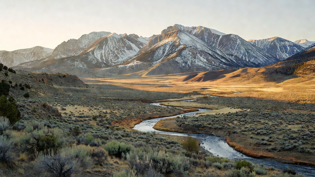
The Forest Service describes this one as a forested ring around the San Luis Valley, and that is exactly the shape of it. The valley in the middle is enormous -- about 122 miles long and 74 miles wide, averaging around 7,664 feet, commonly called the largest alpine valley in the world -- and it is high, flat, and dry, taking only about 7 to 10 inches of precipitation a year, which is desert numbers. The forest is the rim: you leave potato fields and sagebrush flats on the valley floor and within a few miles you are climbing through ponderosa pine and Douglas-fir into subalpine spruce and fir, and then out of the trees entirely onto alpine tundra somewhere around 11,500 feet. The Continental Divide runs along most of the western boundary. Terrain here goes from the high peaks of the Sangre de Cristo Range to rugged canyons and ancient calderas, and the forest is split into three ranger districts -- Conejos Peak, Divide, and Saguache -- spread across nine counties, with the headquarters down in Del Norte. It gets cold: the weather station at Rio Grande Reservoir has recorded 89 degrees in July and 46 below zero in December.
History
This is Ute homeland, and the name of the forest's biggest wilderness still says so -- the Weminuche is named for the Weminuche band of Utes who lived in this country. Hispano families moving north from New Mexico settled the valley beginning in the 1850s; the town of San Luis, laid out in 1851, is the oldest town in Colorado, and the valley still holds the state's largest concentration of native Hispanic population. Then came silver. Rich strikes in Willow Creek Canyon in 1889 turned a canyon camp into Creede, renamed in 1891 for Nicholas C. Creede, who found the Holy Moses Mine, and the boom drew better than 10,000 people plus the usual cast of characters -- Bob Ford, who had shot Jesse James, Bat Masterson, and the confidence man Soapy Smith all turned up. The Denver & Rio Grande Railroad came in to serve the mines, and those mines ran continuously from 1890 all the way to 1985, shifting from silver to lead and zinc after the Silver Panic of 1893. The national forest itself was established July 1, 1908. That same December, Theodore Roosevelt set aside the strange eroded ash formations northeast of Creede as Wheeler National Monument -- the first national monument in Colorado -- though it proved so hard to reach that Congress abolished the monument in 1950 and handed the ground back to the forest.
Wildlife & plants
The high country here carries a full deck of Colorado big game: elk, mule deer, bighorn sheep, moose, black bears, and mountain lions you are very unlikely to lay eyes on. Canada lynx, reintroduced to the southern Colorado mountains, are back in the spruce-fir; mountain goats are established up on the high rock too, though they are not native here. The signature fish is the Rio Grande cutthroat trout, native to the Rio Grande's tributaries in southern Colorado and northern New Mexico and the official state fish of New Mexico -- it is a fish of real conservation concern, rated vulnerable and a candidate for Endangered Species Act listing from 2008 to 2014. Be ready for a lot of dead standing timber: between 1996 and 2023 spruce beetles infested some 617,000 acres of spruce-fir on this forest. That outbreak has since collapsed back to normal background levels -- largely because the beetles ran out of mature spruce to eat -- and the most active bark beetle on the Rio Grande in the mid-2020s is now the Douglas-fir beetle, most visible in the mid-elevation forest between South Fork and Creede. Gray snags mean falling-limb and blowdown risk, so pick your tent spot with your eyes up.
Notable features
The one everybody wants is the Wheeler Geologic Area, about 10 miles east-northeast of Creede at 11,960 feet -- a badlands of pale, wildly eroded volcanic ash spires standing in the middle of nowhere. Getting there is the whole point and the whole problem: an 8.4-mile hike on the East Bellows Trail (FS 790), or a rough 14-mile four-wheel-drive road. That ash came out of the La Garita caldera, an extinct volcanic monster 22 by 47 miles across centered near Creede. The forest holds pieces of four wilderness areas -- La Garita, Sangre de Cristo, South San Juan, and the Weminuche, which at 499,771 acres is the largest wilderness in Colorado and which it shares with the San Juan National Forest across the Divide; the Continental Divide Trail runs 83 miles through the Weminuche alone. On the pavement, Wolf Creek Pass carries US 160 over the Divide at 10,857 feet, with Treasure Falls below it and the Lobo Overlook at 11,760 feet above, and Colorado 149 -- the Silver Thread -- runs about 75 miles from South Fork up past Creede to Lake City, shadowing the young Rio Grande and passing North Clear Creek Falls on the way. Platoro Reservoir anchors the Conejos Peak district in the southwest corner.
Camps are sourced from public U.S. Forest Service recreation data and have not been personally visited. Roads shown are Forest Service passenger-car routes (maintenance level 3–5) and may be seasonal or gated. Always confirm access, fees and fire rules with the ranger district before you go. Found a fee where we show free? Tell us on the contact page.