Santa Fe National Forest
Where the camps cluster
The place
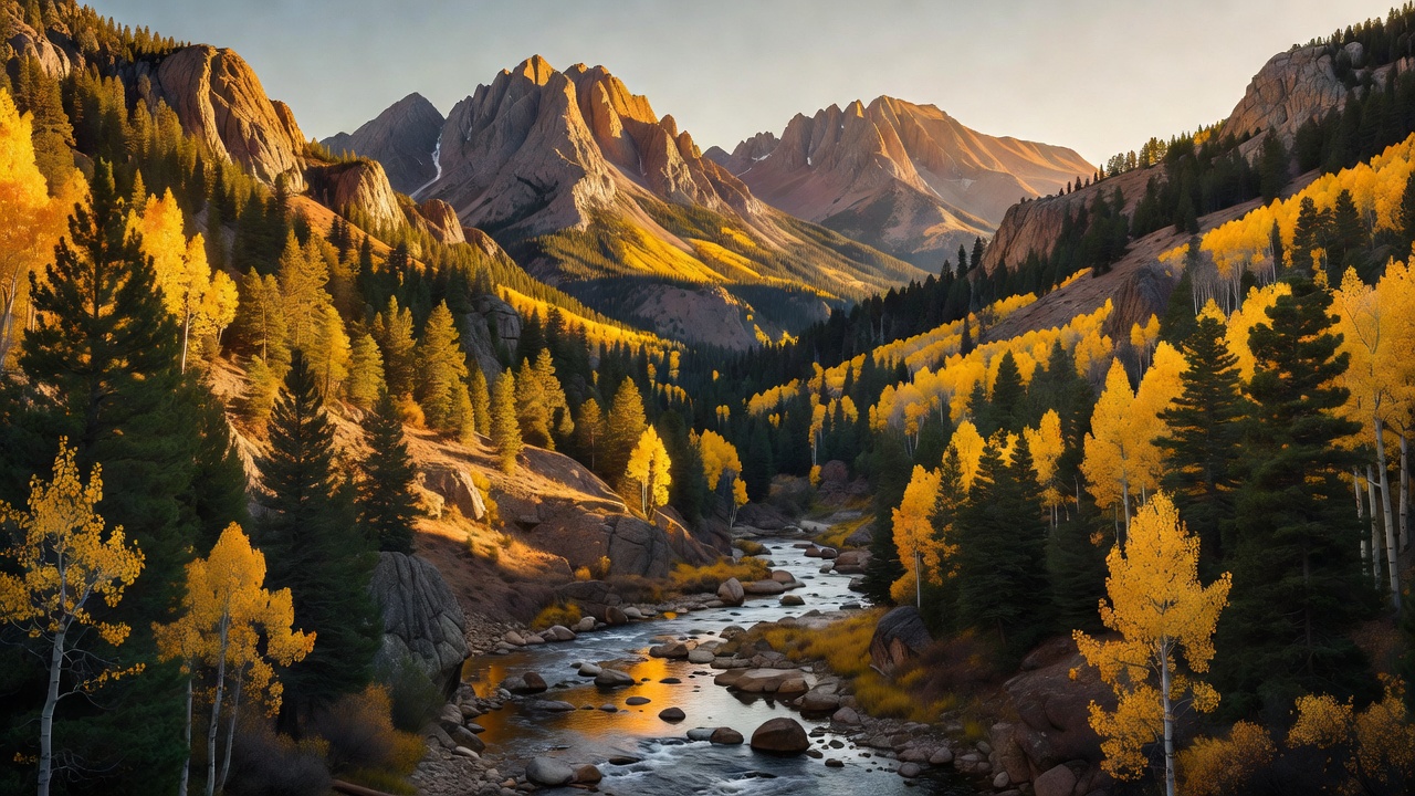
The Forest Service describes this one as mountains, valleys and mesas -- forested slopes, colorful volcanic formations, deep river gorges and primitive wilderness -- and the reason the description has to be that broad is that the forest is not one landform. It is two mountain systems and the country between them, spread over six northern New Mexico counties: Rio Arriba, San Miguel, Sandoval, Santa Fe, Mora and Los Alamos. On the east side the Sangre de Cristo Mountains run north out of Santa Fe into real alpine terrain. On the west side the Jemez Mountains are volcanic through and through -- built by eruptions going back at least 13 million years, floored in the pale welded ash called the Bandelier Tuff, with hot springs still coming up through it. Five ranger districts cover it: Cuba, Jemez, Coyote, Espanola and Pecos/Las Vegas, run out of a supervisor's office on Forest Lane in Santa Fe. The Coyote district alone is about 265,100 acres.
Practically speaking, you are never in one climate here for long. Eight thousand feet of relief means the forest stacks up through pinon-juniper, ponderosa, Douglas-fir and white fir, into Engelmann spruce and corkbark fir, and finally out of the trees altogether -- better than 720 plant species across six distinct vegetation communities in the Jemez range alone. Plan for sun-hammered afternoons and genuinely cold nights in the same 24 hours, and check what elevation your camp actually sits at before you decide what bag to bring. There is also a hole in the middle of the west side that is not the Forest Service's: the 89,766-acre Valles Caldera National Preserve, a 13.7-mile-wide collapsed caldera run by the Park Service, sits ringed by this forest. Different agency, different rules -- worth knowing before you plan a night there.
History
People have been in this country a very long time, and the Forest Service says plainly that the forest holds thousands of cultural and archaeological sites. The Jemez side is the homeland of the Towa-speaking Jemez people and the Keres-speaking Zia, with pueblo settlement dating to the early 14th century. On the east side, Pecos Pueblo -- Cicuye -- grew into a five-storied complex housing more than 2,000 people and became the great trade hinge between the Rio Grande pueblos and the Plains tribes. The Spanish built a mission church there in 1619 and another in 1717 after they returned. Pecos was occupied from around 1300 until 1838, when the last seventeen or so residents gave it up and walked west to Jemez Pueblo. The Santa Fe Trail later ran through that same ground, and in March 1862 the Civil War reached it: the Battle of Glorieta Pass was fought March 26-28 just west of the old pueblo, stopping the Confederate push toward Fort Union.
The federal chapter starts early. The Pecos River Forest Reserve was created on January 11, 1892 with 311,040 acres; it became the Pecos River National Forest in 1907, then simply the Pecos National Forest in 1908. On July 1, 1915 it was combined with the Jemez National Forest to create Santa Fe National Forest, and a piece of the new forest was carved back out the very next year to make Bandelier National Monument. Congress added the Jemez National Recreation Area in 1993, and in 2000 the Valles Caldera was bought into public hands as a preserve.
The recent history is fire, and it is the hardest thing this forest has to tell. On April 6, 2022 a Forest Service prescribed burn near Hermits Peak escaped. Three days later the Calf Canyon fire started from dormant piles left over from a burn back in January. On April 22 extreme winds -- 60 to 74 miles an hour -- drove them together. Before it was contained on August 21, the Hermits Peak/Calf Canyon fire had burned 341,471 acres, destroyed roughly 903 structures and damaged 85 more, and forced something like 15,500 households out of their homes. It was the largest wildfire in New Mexico's recorded history, passing the 2012 Whitewater-Baldy Complex, and the largest anywhere in the lower 48 that year. Because the government started it, Congress made the government pay: the Hermits Peak/Calf Canyon Fire Assistance Act was signed on September 30, 2022, directing FEMA to fully compensate people for injury, property, business and financial losses. Recovery is still the forest's stated priority -- restoring safe access, keeping fuelwood available to local communities, and repairing infrastructure. Expect closures, burned ground and washed-out roads on the east side, and check current conditions before you commit to a route.
Wildlife & plants
The high country carries the full Rocky Mountain roster: elk, mule deer, black bears, coyotes, Rocky Mountain bighorn sheep, wild turkey and beaver, with blue grouse in the timber and white-tailed ptarmigan up on the alpine ground above the trees. Steller's jays, ravens, raptors, hummingbirds and woodpeckers fill in the rest. Elk are the animal to plan around -- the grasslands inside the Valles Caldera next door hold New Mexico's second-largest elk population, and a large herd summers up in the wet meadows of San Pedro Parks. Fishing is genuinely good: the Pecos Wilderness alone has around fifteen lakes and roughly 150 miles of streams carrying rainbow, brown and cutthroat trout, and the small creeks up in San Pedro Parks hold native Rio Grande cutthroat.
The species worth knowing about here is one you will almost certainly never see. The Jemez Mountains salamander lives in the Jemez Mountains and nowhere else on earth -- Los Alamos, Sandoval and Rio Arriba counties, mostly between 7,200 and 9,500 feet, in mixed conifer forest, tucked under decaying logs and rock. It was listed as federally endangered in 2013, and rotting downed timber is its house. That is a good argument for not rolling logs for firewood in the Jemez high country and for burning only what is already dead and down and cut.
Notable features
The Pecos Wilderness is the crown of the east side -- 223,667 acres shared with the Carson National Forest, designated in 1980 after starting out as a smaller wilderness in 1964, running from 8,400 feet to over 13,000. South Truchas Peak tops it at a shade over 13,100 feet, the second-highest summit in New Mexico, with North Truchas at 13,025 and Santa Fe Baldy at 12,622 -- the high point of Santa Fe County. Farther south, Hermit Peak stands at 10,267 feet with a trail up from the El Porvenir side; it is named for Giovanni Maria de Agostini, an Italian recluse who lived in a cave about a hundred feet below the summit rim from August 1863 to May 1866 and whose cave became a pilgrimage site.
West side, the headliner is the Jemez National Recreation Area -- 57,650 acres established by Congress in 1993 on the Jemez Ranger District, and busy: something like 1.6 million people a year come through this part of the mountains. New Mexico 4 is the way to see it, the backbone of the Jemez Mountain Trail National Scenic Byway, running about 68 miles past red rock canyons, the Soda Dam and other hot springs, 70-foot Jemez Falls, the rim of the Valles Caldera and on toward Bandelier. Tucked beside Bandelier is the Dome Wilderness, 5,200 acres from 1980 -- small, high around St. Peter's Dome, and still showing the scar of a 1996 fire.
In the northwest the San Pedro Parks Wilderness is unlike anything else on the forest: 41,132 acres of rolling spruce plateau around 10,000 feet, broken by soggy grassland openings the locals call parks, protected as a primitive area as far back as 1931 and as wilderness in 1965, with roughly 100 miles of trail through it. North of there the Chama River Canyon Wilderness -- about 50,300 acres, designated February 24, 1978 and shared with the Carson -- drops to the Rio Chama, a Wild and Scenic river that draws rafters when the water is up; US 84 out of Santa Fe gets you close. The Continental Divide Trail threads both of those, crossing the Chama at Scull Bridge.
Camps are sourced from public U.S. Forest Service recreation data and have not been personally visited. Roads shown are Forest Service passenger-car routes (maintenance level 3–5) and may be seasonal or gated. Always confirm access, fees and fire rules with the ranger district before you go. Found a fee where we show free? Tell us on the contact page.