Six Rivers National Forest
Where the camps cluster
The place
Six Rivers National Forest is the wet side of northwestern California -- a narrow band of country about 140 miles long, running south from the Oregon border through Del Norte, Humboldt, Trinity, and Siskiyou counties. The Forest Service's own public figure is close to a million acres, and the ground climbs from nearly sea level to just under 7,000 feet. Headquarters are over in Eureka, out on the coast west of the forest. If you know this corner of California for its redwood parks, know that those are mostly park-service and state ground -- this forest is the country behind them: inland conifer, steep canyons, and rivers. Lots of rivers. It rains here in a way it does not rain almost anywhere else in the state, which is the whole reason the place looks like it does. One thing worth knowing before you read a map: the boundary drawn around a national forest is bigger than the forest itself, and there's private ground inside the lines.
History
This is one of the younger national forests -- President Truman established it in 1947 out of pieces of the neighboring Klamath, Trinity, and Siskiyou national forests, so the country is old but the outfit is not. The name is the good part: it's called Six Rivers because six of them drain it -- the Smith, Klamath, Trinity, Mad, Van Duzen, and Eel -- and the name is generally credited to Peter B. Kyne, a novelist, which is a better origin story than most forests get. Long before 1947, and still, this is the homeland of the Yurok, Karuk, Hupa, Tolowa, Wiyot, and Chilula peoples; the Hoopa Valley Reservation sits next door. The biggest fight in the forest's history was over a road. The Forest Service wanted to finish a route between Gasquet and Orleans -- the G-O Road -- straight through high country that Yurok, Karuk, and Tolowa people used, and still use, for religious purposes. Tribes and conservation groups sued. Congress designated the Siskiyou Wilderness in 1984 but deliberately left the road's corridor out of it, so the fight went on; in 1988 the Supreme Court decided Lyng v. Northwest Indian Cemetery Protective Association in the government's favor. The road was finally stopped anyway in 1990, when the Smith River National Recreation Area Act folded that corridor into the wilderness. It was never built.
Wildlife & plants
Roosevelt elk are the animal people hope to see here -- big, heavy-antlered, and more often found in the openings and along the river bottoms than up in the timber. Black bears are common; keep your food put away. Black-tailed deer are everywhere, and mountain lions are around, though you'll read them in tracks long before you see one. The forest is also home to some of the animals that make Pacific Northwest timber country famous in a courtroom: the northern spotted owl, the marbled murrelet -- a little seabird that flies inland to nest on mossy old-growth limbs -- and the Pacific fisher, a big member of the weasel family that most people never lay eyes on. But the fish are the heart of it. Chinook and coho salmon and steelhead run these rivers, coastal cutthroat hold in the smaller water, and green sturgeon -- an old, strange, bottom-feeding fish -- come into the Klamath. The trees are worth slowing down for too: Douglas-fir and tanoak through most of it, Port Orford cedar along the wet ground on the north end (it's been hit hard by an introduced root disease, which is why you'll see signs asking you to wash mud off your tires), and Brewer spruce, the weeping one, up in the Siskiyou high country. On the serpentine bogs, look for the cobra lily.
Notable features
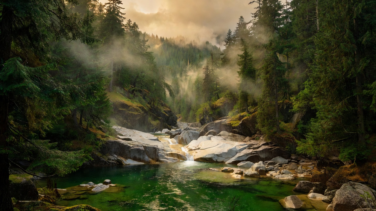
The Smith River is the crown jewel. Congress created the Smith River National Recreation Area in 1990 to protect it, and the reason is simple: the Smith runs from its headwaters to the Pacific without a single dam -- the only major river system in California that still does. More than 300 miles of the Smith and its forks are protected as Wild and Scenic, and the water runs a clear, hard green that people drive a long way to look at. There's a piece of six wilderness areas here. Four of them the forest splits with its neighbors -- the Siskiyou, the Trinity Alps, the Yolla Bolly-Middle Eel, and the Marble Mountain -- and two are its own: the North Fork Wilderness and the Mount Lassic Wilderness, the latter a small one out near Ruth Reservoir that Congress added in 2006. Ruth Lake, on the Mad River district, is the forest's big flatwater. Orleans Mountain, around 6,180 feet, is commonly cited as the high point. And the rain is a landmark in its own right: Gasquet, up on the Smith, averages something over 90 inches a year, which puts it among the wettest spots in California.
Camps are sourced from public U.S. Forest Service recreation data and have not been personally visited. Roads shown are Forest Service passenger-car routes (maintenance level 3–5) and may be seasonal or gated. Always confirm access, fees and fire rules with the ranger district before you go. Found a fee where we show free? Tell us on the contact page.