Zaleski State Forest Backpack Trail - Camp 3
FREE hike-in camping. Camp 3 is the northernmost designated backpack campground on Zaleski State Forest's Selinde Roosenburg Memorial Backpack Trail, in Vinton County -- out on the long northern loop, the deepest camp of the three. ODNR's own map for the Selinde Roosenburg Memorial Backpack Trail states the rules: 'People may camp only in the designated campground areas shown on the map' and 'A self-registration permit (NO FEE) is required of all hikers' -- fill it in before you start at either trailhead (Schoolhouse or Iron Furnace, available 24 hours), drop it in the registration box and carry the stub. ODNR's Zaleski page adds that 'all campsites are on a first-come, first-served basis and there are no reservations.' Camping is capped at 14 days in any 30, AND -- unusual, so plan your route -- 'camps must be moved to a different backpack campground each day', so this is a walking trip, not a basecamp. ODNR says the backpack campsites 'offer a latrine and potable water year-round', but the trail map is more cautious: the water is serviced caches filled from the Village of Zaleski that 'may not be serviced in winter due to bad road conditions' -- carry your own and a filter. Fires only in the fire rings provided or a portable stove, cutting trees is prohibited, pack out all refuse, quiet hours 10 p.m. to 8 a.m. Zaleski is Ohio's second-largest state forest (27,822 acres) and a public hunting area, so wear blaze orange in season; watch for venomous snakes. The trail is named for Selinde Roosenburg, an ODNR forest technician killed in a 2021 UTV rollover on a prescribed burn. Confirm current rules with the forest office (740) 596-5781 before you go -- we have not visited.
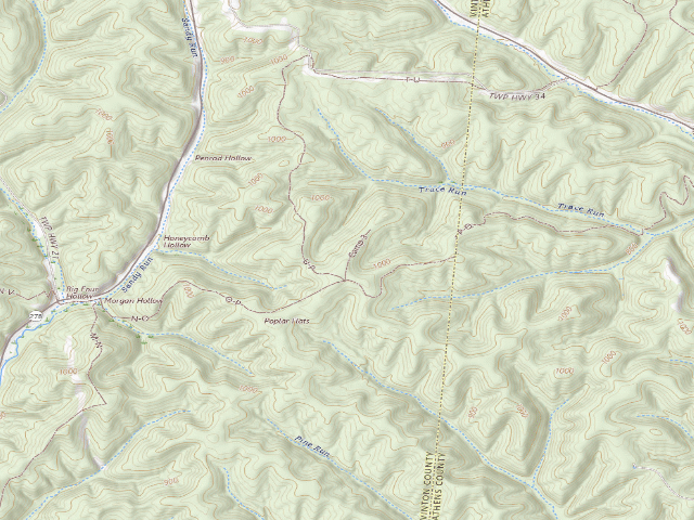
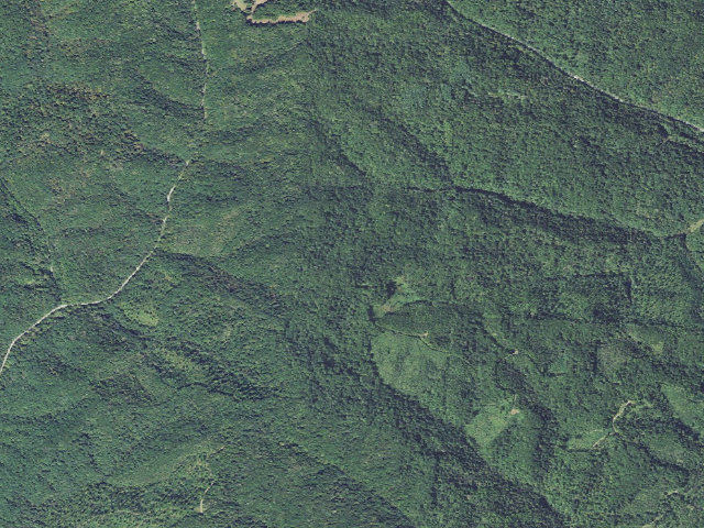
Everything you need — measured from Zaleski State Forest Backpack Trail - Camp 3 · public land · OH
- WWater0 mi
- @Mail2 mi
- MMechanic4 mi
- FFuel7 mi
- GGrocery7 mi
- LLaundry7 mi
- RxPharmacy7 mi
- HHardware7 mi
- +Urgent care7 mi
- EVEV fast charger8 mi
- OOutfitter13 mi
- DDump13 mi
- ShShower13 mi
- AAir-up30 mi
- PPropane47 mi
The read: water is basically at camp, fuel & food sit about 7 mi out.
One dot per need — the nearest of each kind, straight-line from camp. Places from OpenStreetMap (© OpenStreetMap contributors); the EV fast charger from the US DOE station locator. Open in Google Maps ↗
The site — Zaleski State Forest Backpack Trail - Camp 3
Nearby & resupply — around Zaleski State Forest Backpack Trail - Camp 3 · public land · OH (OpenStreetMap)
- Water featureTrace Run (stream) · nearby
- Nearest townCarbondale · ~1.7 mi
- Drinking waterDrinking water · ~0.1 mi
- FuelFuel · ~18.4 mi
- Propane / LPGnone within 31 mi
- Dump station~13.2 mi
- GroceriesKroger · ~7.3 mi
- PharmacyThe Drugstore at O'Bleness Hospital · ~10.1 mi
- Hospital / clinicHopewell Health Centers · ~7.4 mi
- HardwareMenards · ~13.9 mi
EV charging — from Zaleski State Forest Backpack Trail - Camp 3 · public land · OH — nearest public DC fast & Level 2 (US DOE station data)
- Nearest public DC fast charger7.5 mi straight-line NE — CITY STATION 2, Nelsonville, OH · ChargePoint Network · CHAdeMO, CCS · 1 fast port listed · listed open, last confirmed by AFDC 2026-09-16 · hours: 24 hours daily · directions
- Public DC fast stations within reach12 within 25 mi · 53 within 50 · 191 within 100 · 499 within 150
- Nearest listing NACS (Tesla)12.1 mi — DONWOODAUTO HYUNDAI 2, Athens
- Nearest public Level 2 (J1772)6.5 mi — CHERRY RIDGE STATION 1, New Plymouth, OH · ChargePoint Network · J1772 · 2 Level 2 ports listed · listed open, last confirmed by AFDC 2026-09-16 · hours: 24 hours daily
- Pricing at the fast chargernot listed
- Power (kW)not listed by AFDC — “DC fast” spans roughly 24 to 350 kW, so ask the network.
- Read this honestlyStraight-line miles, like every distance on this site. Roads run longer than this, and you have to get back. We know where a charger is listed. We don’t know if it works today, how fast it is, or the road miles. Check the network before you commit.
Snapshot 2026-09-16 · AFDC record 214210 · US DOE Alternative Fuels Data Center
Nearby restrooms — around Zaleski State Forest Backpack Trail - Camp 3 · public land · OH — pit toilets, restrooms & rest areas (government data)
- Vault / pit toiletDoanville-York Bicycle Trailhead · ~7.7 mi NE · USFS
- Vault / pit toiletSycamore Trailhead · ~7.8 mi N · USFS
- Vault / pit toiletScarlet Oak Trailhead · ~8.1 mi N · USFS
- Vault / pit toiletElm Trailhead · ~8.1 mi N · USFS
Open Zaleski State Forest Backpack Trail - Camp 3 elsewhere
Other camps near Zaleski State Forest Backpack Trail - Camp 3
If this one is full, gated or washed out.
- Zaleski State Forest Backpack Trail - Camp 2~3.0 mi
- Zaleski State Forest Backpack Trail - Camp 1~3.1 mi
- Stone Church Horse Campground~17.2 mi · fee
- Burr Oak Cove Campground~18.2 mi · fee
How we know this — Zaleski State Forest Backpack Trail - Camp 3
What we don’t know about Zaleski State Forest Backpack Trail - Camp 3
A land record can put you within a few meters of a spot. It cannot tell you any of this — so check it yourself, and treat anything below as the open question it is.
- Road surface & last-mile access
- How many rigs actually fit
- Cell coverage by carrier
- Seasonal & winter access
- Current fire restrictions
- Whether any water here is drinkable
- Shade & wind exposure
- Noise and who else shows up
- Whether a listed EV charger works today, or the road miles to it