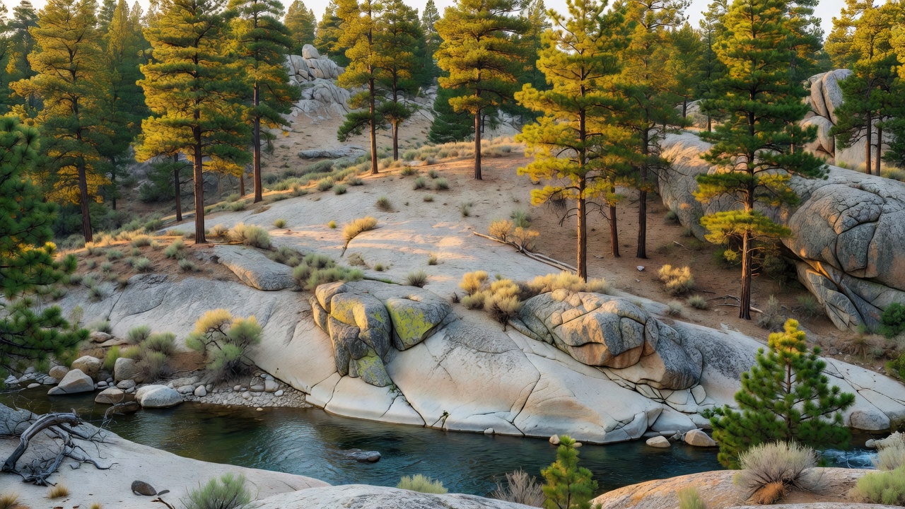
Boise National Forest
Where the camps cluster
The place
The Boise National Forest sprawls across central Idaho, spread over roughly 2.5 million acres of mountains and river country immediately northeast of Boise, the state capital. It reaches into six counties -- Ada, Boise, Elmore, Gem, Valley and Washington -- and is run out of five ranger districts at Cascade, Emmett, Idaho City, Lowman and Mountain Home.
This is the country of the Idaho batholith, a huge body of granite that gives the forest its backbone. Portions of the Rocky Mountains rise here -- the Boise, Salmon River and West mountain ranges among them -- and the land tilts through an enormous range of elevation, from about 2,800 feet in the North Fork Payette River Canyon to high summits above 9,000 feet, such as Steel Mountain at 9,730 feet. About three-quarters of the forest is timbered, and cutting through it all is water: the Boise, Payette, Salmon and Weiser rivers all drain these slopes.
History
The Boise National Forest was established on July 1, 1908, carved out of part of the neighboring Sawtooth National Forest. It began at just over a million acres and has grown many times larger since. Long before the Forest Service, this granite high country was home ground for Indigenous peoples, and the name itself echoes the French 'boise' -- wooded -- that early trappers gave the tree-lined river valleys in a mostly dry region. Today the forest is one of Idaho's busiest, its trails, campgrounds and rivers a backyard wildland for a fast-growing capital city at its edge.
Wildlife & plants
For all its granite, the Boise is deeply forested -- primarily coniferous evergreens, with Douglas fir and ponderosa and lodgepole pines at lower elevations giving way to Engelmann spruce, subalpine fir and whitebark pine up high. That range of habitat supports a remarkable amount of life: the forest is home to nearly 300 terrestrial vertebrate species and some 28 kinds of fish. Mule deer and elk are the big draws, sharing the country with moose, black bears, cougars, timber wolves and the rare, snow-country Canada lynx. The forest also shelters something found nowhere else on Earth -- roughly three-quarters of all known populations of Sacajawea's bitterroot, a flowering plant endemic to Idaho.
Notable features
The Boise's signature feature is its water in a dry-country setting: an estimated 9,600 miles of streams and rivers and about 15,400 acres of lakes and reservoirs thread through the granite, with Warm Lake counted as the largest natural lake and hundreds of lakes and reservoirs open to boating and fishing. The batholith also gives the forest one of its best-loved treats -- hot springs. Along the South Fork Payette River near Lowman, geothermal water heated deep in the fractured granite feeds soaking spots such as Kirkham and Bonneville Hot Springs, part of the South Fork Payette Geothermal System. Above it all, Bogus Basin's ski area drops more than 50 runs within easy reach of the city, while whitewater, more than 500 trails and dozens of campgrounds fill out a forest the Forest Service calls 'truly an outdoor enthusiast's dream.'
Camps are sourced from public U.S. Forest Service recreation data and have not been personally visited. Roads shown are Forest Service passenger-car routes (maintenance level 3–5) and may be seasonal or gated. Always confirm access, fees and fire rules with the ranger district before you go. Found a fee where we show free? Tell us on the contact page.