Cherokee National Forest
Where the camps cluster
The place
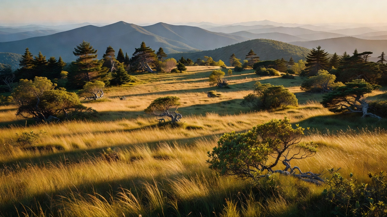
Cherokee National Forest is Tennessee's only national forest, and it comes in two halves -- one block northeast of Great Smoky Mountains National Park and one southwest of it -- strung along the state's mountainous border with North Carolina. The boundary drawn on the map is large, but the actual Forest Service land inside it is closer to 650,000-660,000 acres; the rest is private and other holdings inside the line. What you get is a long ribbon of the southern Appalachians: grassy 'balds' on the high ridgetops, cold clear trout streams down in the hollows, and some of the Southeast's best whitewater rivers cutting off the mountains. The Appalachian Trail runs the crest for a long stretch, and much of the range shoulders right up against the Smokies and the North Carolina high country next door.
History
The forest was proclaimed in 1920, built out of cut-over and eroded mountain land bought under the Weeks Act of 1911 -- the law that first let the federal government buy up eastern forestland to protect the watersheds. Its boundaries today reflect decades of later consolidation and land purchases, not a single stroke in 1920. The name honors the Cherokee people, whose ancestral homeland this was long before any of it became a national forest; the forced removal of the late 1830s remembered as the Trail of Tears is part of the hard cultural history of this whole landscape, and the Eastern Band of Cherokee still lives nearby in the mountains of western North Carolina. Like much of the reforested South, a lot of what looks like deep old woods here is really forest that grew back on worn land over the last century.
Wildlife & plants
This is black-bear country -- the southern Appalachian bears roam the hollows and ridges, so keep a clean camp and put your food away. White-tailed deer, wild turkey, and drumming ruffed grouse are common, and the cold headwater streams hold trout: the brook trout is the only kind native to these southern mountains, while the rainbows and browns most anglers chase were brought in later. One odd resident is the wild pig -- descended in part from Eurasian wild boar brought to a private hunting preserve at Hooper Bald, over in the North Carolina mountains, in the early 1900s; the animals escaped, bred with feral hogs, and their hybrids spread through this border country and into the Smokies. Up on the high open balds it's a different world -- hawks overhead, songbirds, and, in June, whole ridgelines of blooming Catawba rhododendron.
Notable features
The forest's signature high place is Roan Mountain, on the Tennessee-North Carolina line, where the Roan Highlands carry one of the longest stretches of grassy 'bald' in the Appalachians and a famous wild rhododendron display -- often called among the largest natural stands anywhere, with peak bloom usually in mid-to-late June (the best-known gardens sit right on the shared ridge, partly on the North Carolina side). Whitewater is the other headline: the Ocoee River hosted the canoe and kayak slalom of the 1996 Atlanta Olympics on a reshaped stretch of natural riverbed, and the Nolichucky, Tellico, and Hiwassee rivers all cut through the forest -- the Hiwassee is often called Tennessee's first state scenic river. The Appalachian Trail crosses the forest for roughly 150 miles and even walks across the top of Watauga Dam, above forest-lined Watauga Lake (a TVA reservoir). Don't miss Bald River Falls, a tall roadside cascade on the Tellico side, or the wild border country of Big Frog and the neighboring Cohutta, which together form one of the larger wilderness complexes in the eastern United States, shared with Georgia's national-forest land.
Camps are sourced from public U.S. Forest Service recreation data and have not been personally visited. Roads shown are Forest Service passenger-car routes (maintenance level 3–5) and may be seasonal or gated. Always confirm access, fees and fire rules with the ranger district before you go. Found a fee where we show free? Tell us on the contact page.