Coconino National Forest
Where the camps cluster
The place
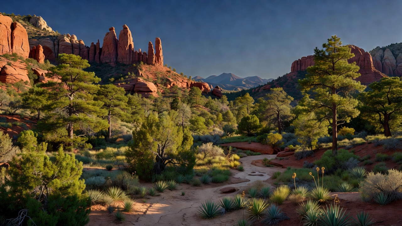
Coconino National Forest wraps around Flagstaff in northern Arizona, roughly two million acres spread across three ranger districts -- Flagstaff, Mogollon Rim, and Red Rock -- and it may be the most split-personality forest in the system, in the best way. Most of it is high plateau, averaging around 7,000 feet, carpeted in ponderosa pine: this is the largest continuous stand of ponderosa in North America, open and park-like, the kind of country you can see through for a quarter mile. Above that, the San Francisco Peaks -- the wrecked remains of a stratovolcano -- climb through spruce and fir to Arizona's only alpine tundra above about 11,000 feet, topping out on Humphreys Peak. Below and south, the plateau ends abruptly at the Mogollon Rim, an escarpment running nearly 400 miles across central Arizona, and the land falls away into canyon country: Oak Creek Canyon, the red rock buttes and mesas around Sedona, and eventually the Verde River at around 2,600 feet. Flagstaff sits high enough to be genuinely snowy -- roughly 22 inches of precipitation a year including about 100 inches of snowfall -- while the Red Rock district an hour south is chaparral and juniper. Same forest. Plan for both.
History
People have been living in this country for a very long time. The Sinagua occupied the ground from around 500 to 1425 CE, from the Little Colorado near Flagstaff down into the Verde Valley -- the name is not theirs, it was coined in 1939 by archaeologist Harold S. Colton from 'Sierra Sin Agua,' the mountains 'without water' that Spanish explorers named for peaks so big they seemed like they ought to have rivers, and didn't. Two of the largest cliff dwellings of the Red Rock country, occupied roughly AD 1150 to 1350, sit on the forest today as the Palatki and Honanki heritage sites; the Smithsonian's Jesse Walter Fewkes described them at the turn of the last century and gave them Hopi names -- Palatki, 'Red House,' and Honanki, 'Badger House.' The Sinagua are ancestors of the Hopi. Around AD 1085 the ground itself intervened: the eruption that built Sunset Crater laid ash and lapilli over more than 2,100 square kilometers and forced the temporary abandonment of Sinagua settlements. The federal chapter starts in 1898, when President McKinley set aside the San Francisco Mountain Forest Reserve; Theodore Roosevelt redesignated it the Coconino National Forest on July 2, 1908, folding in pieces of the surrounding reserves. 'Coconino' is the Hopi word for the Havasupai and Yavapai people. That same year, the Flagstaff lumbermen Timothy and Michael Riordan asked Gifford Pinchot -- the first Chief of the Forest Service -- to figure out why their ponderosa wasn't growing back after logging. The answer was a two-room cabin at Fort Valley staffed by one man, Gustaf Pearson, which opened in August 1908 as the first Forest Service research station in the country. American forest science started here.
Wildlife & plants
The Forest Service counts more than 500 vertebrate species on the Coconino -- roughly 300 birds, close to 100 mammals, and 16 native fish -- which is what happens when a single forest covers desert scrub, pine plateau, and tundra. Nine of Arizona's ten big game species live here: black bear, bighorn sheep, elk, javelina, turkey, mountain lion, and both mule and white-tailed deer. (The tenth is buffalo, and it isn't here.) The bird numbers are the standout. Anderson Mesa is designated a globally significant Important Bird Area, the forest holds more than 200 Mexican spotted owl nesting areas, and the largest concentration of bald eagles ever documented in Arizona -- 120 birds -- was recorded near Mormon Lake. It's also serious bat country: 24 of Arizona's 28 bat species. Anglers get about 27 sport fish species, with Apache trout, desert sucker, and roundtail chub among the natives; Fossil Creek is the rare stream that still carries eight native fish species and no non-natives at all. Sixty species carry special status here, nineteen of them federally endangered or candidate species. Three animals that used to live on this forest -- Mexican gray wolf, grizzly bear, and jaguar -- no longer do.
Notable features
Ten wilderness areas fall wholly or partly on the forest. Red Rock-Secret Mountain (43,950 acres) protects the rosy cliffs and buttes above Sedona and is one of Arizona's most accessible wildernesses; Kachina Peaks (18,960 acres) covers the volcanic high country and Humphreys Peak, ground held sacred by northern Arizona tribes; Sycamore Canyon (58,448 acres) guards what the Forest Service calls Arizona's second-largest canyon. Add Fossil Springs, Kendrick Mountain (Kendrick Peak, 10,418 feet), Munds Mountain, Strawberry Crater, West Clear Creek, Wet Beaver, and a share of the 252,500-acre Mazatzal -- one of the original 1964 wildernesses, shared with the Tonto. Oak Creek Canyon is the forest's headline drive: about 12 miles long, 800 to 2,000 feet deep, with State Route 89A dropping in on a set of hairpins off the Rim and running the canyon bottom into Sedona past Slide Rock State Park. Oak Creek Canyon and Sedona together are the second most-visited attraction in Arizona, behind only the Grand Canyon, and it shows in the parking lots -- Sedona-area fee sites on the forest require a Red Rock Pass or an America the Beautiful interagency pass, including the lots at Palatki and Honanki. North of Flagstaff, Lava River Cave is Arizona's longest lava tube at about a mile; Mormon Lake, at roughly 12 square miles when full, is the largest natural lake in the state; and the Cinder Hills OHV area gives the motorized crowd a place to play in black volcanic cinders.
Camps are sourced from public U.S. Forest Service recreation data and have not been personally visited. Roads shown are Forest Service passenger-car routes (maintenance level 3–5) and may be seasonal or gated. Always confirm access, fees and fire rules with the ranger district before you go. Found a fee where we show free? Tell us on the contact page.