Gifford Pinchot National Forest
Where the camps cluster
The place
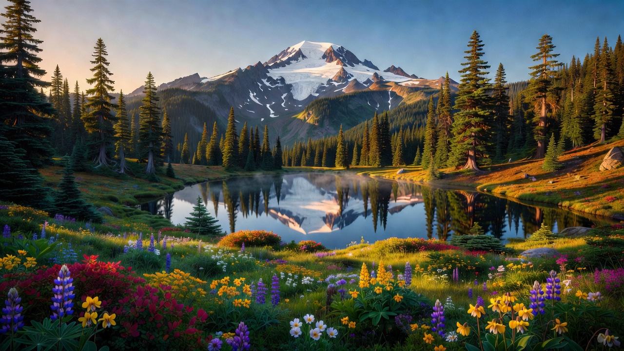
Gifford Pinchot National Forest covers the southern Washington Cascades, stretching about 72 miles from the boundary of Mount Rainier National Park south to the Columbia River, across parts of five counties -- Skamania (roughly two-thirds of it), Lewis, Yakima, Cowlitz and Klickitat. This is the wet west side of the range: deep conifer forest, moss, waterfalls, and an estimated 198,000 acres of old growth as of a 1993 tally. The high country is volcanic. Mount Adams, at 12,276 feet, is the forest's highest point and the second-highest mountain in Washington; Mount St. Helens sits at the west end inside its own 110,000-acre National Volcanic Monument; and the eroded stump of an extinct stratovolcano called Goat Rocks holds four small glaciers between them. Rivers drain it in every direction -- the Lewis, the Cispus, the Cowlitz, and the White Salmon -- and seven designated wilderness areas totaling roughly 369,589 acres take up a big share of the map. The Forest Service runs it out of Vancouver, Washington, with district offices in Randle, Amboy and Trout Lake.
History
The land was first set aside as part of the Mount Rainier Forest Reserve in 1897, then split out as the Columbia National Forest on July 1, 1908, with 941,440 acres. It got its present name on June 15, 1949, at a dedication ceremony at La Wis Wis Campground, honoring Gifford Pinchot (1865-1946), the first Chief of the U.S. Forest Service and Theodore Roosevelt's partner in conservation -- the man who argued for the working, scientifically managed forest rather than the untouched one. People were here vastly longer than the agency was: Layser Cave, an archaeological site in the forest, was occupied some 7,000 years ago, and the huckleberry fields around Indian Heaven drew the Yakama, Klickitat, Cascades, Wasco, Wishram and Umatilla peoples to gather, hunt and fish for roughly 9,000 years. That relationship is still formally on the ground: since 1932 about 2,800 acres of the Sawtooth Berry Fields have been set aside for Yakama tribal use. Then, on May 18, 1980, Mount St. Helens rewrote the northwest corner of the forest in a morning, and Congress created the National Volcanic Monument around the wreckage on August 27, 1982.
Wildlife & plants
Black bears and mountain lions range the whole forest, so hang or box your food. Deer and elk are common; Washington's Department of Fish and Wildlife puts Roosevelt elk on the western slopes of the Cascades and across southwest Washington, though it notes the Roosevelt and Rocky Mountain subspecies overlap in the southern Cascades -- so what you're looking at up here isn't always a settled question. The high, broken rock of Goat Rocks is named for its mountain goats, and they're still there. The forest also carries a heavy load of listed species: northern spotted owl in the old growth, and bull trout, chinook and coho salmon and steelhead in the rivers. Big-picture, the most interesting wildlife story here is the blast zone, where the monument's founding idea was to let the land respond on its own -- and revegetation and the return of animals have run faster than scientists originally predicted.
Notable features
Mount St. Helens National Volcanic Monument, 110,000 acres set aside for research, recreation and education, is the headline. The 1980 eruption stripped the upper 1,300 feet off the summit in what the Forest Service calls the largest landslide in recorded history, leaving a horseshoe crater roughly 2 by 3.5 kilometers that now holds a lava dome and a glacier. Spirit Lake, below the north face, was raised about 200 feet, nearly doubled in surface area, and still carries a raft of shattered trees floating on it; engineers finished an 8,465-foot outlet tunnel through Harrys Ridge in 1985 to keep it from bursting loose. Ape Cave, a 2.5-mile lava tube on the volcano's south flank, is the longest continuous lava tube in the continental United States. East of the crater, Windy Ridge -- open since 1983 -- looks down on Spirit Lake from four miles out. Away from the volcano, the Goat Rocks Wilderness carries the highest stretch of the Pacific Crest Trail in Washington, Indian Heaven Wilderness scatters at least 150 small lakes and ponds across a berry-covered plateau, and the Lewis River Recreation Area strings ten miles of trail past waterfalls. One planning note: the Johnston Ridge Observatory has been cut off by a 2023 landslide on its access road and is expected to stay closed into at least spring 2027 -- check current Forest Service alerts before you point the truck that way.
Camps are sourced from public U.S. Forest Service recreation data and have not been personally visited. Roads shown are Forest Service passenger-car routes (maintenance level 3–5) and may be seasonal or gated. Always confirm access, fees and fire rules with the ranger district before you go. Found a fee where we show free? Tell us on the contact page.