Gila National Forest
Where the camps cluster
The place
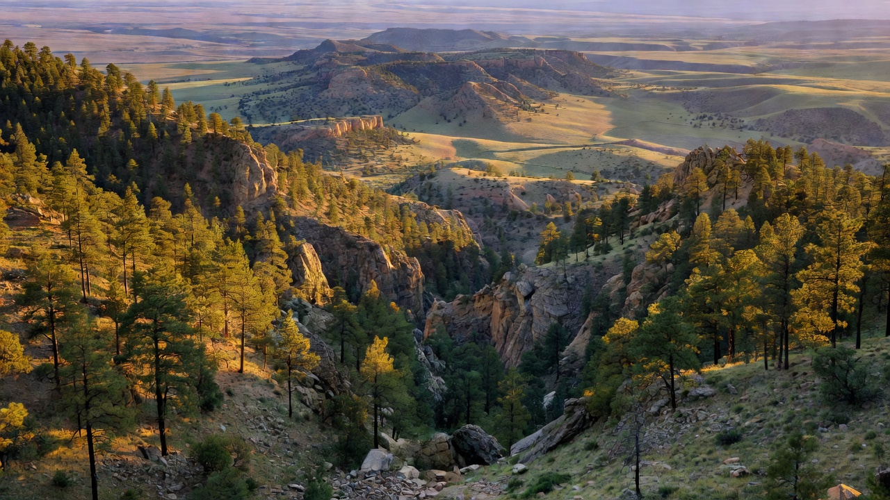
Gila National Forest covers roughly 3.4 million acres of southwestern New Mexico -- Catron, Grant, Sierra and Hidalgo counties, with the forest headquarters down in Silver City. The Forest Service's own description is about right: a vast landscape of forested and woodland mountains nourished by the Gila River, with a remote character that gives you a real feeling of solitude. It stacks up from desert-edged canyon bottoms around 4,800 feet into the Mogollon Mountains, where Whitewater Baldy tops out at 10,895 feet and several neighboring summits clear 10,000, then runs east across the Black Range along the Continental Divide. The Gila River's East, West and Middle forks braid through the middle of it and come together near Gila Hot Springs. Three wilderness areas take up a huge share of the map: the Gila Wilderness (about 558,000 acres), the Aldo Leopold Wilderness (202,016 acres) along the Black Range crest, and the Blue Range Wilderness (29,304 acres) out on the Arizona line. Outside the wilderness boundaries the forest lists 139 developed recreation sites including 30 campgrounds, plus roughly 1,600 miles of designated non-motorized trail. It is a long way from anywhere, and that is entirely the point.
History
The land was public before it was famous: the Gila River Forest Reserve was established March 2, 1899, renamed the Gila Forest Reserve in 1905, and became a National Forest on March 4, 1907, absorbing the Big Burros National Forest in 1908, the Datil in 1931, and a piece of the old Crook in 1953. What made it matter to the rest of the country happened on June 3, 1924, when the Forest Service set aside the Gila headwaters as wilderness -- no roads, no use permits, no development. It was an administrative decision, not an act of Congress, and it was argued for by Aldo Leopold, then a Forest Service man in the Southwest. That made the Gila the world's first designated wilderness area, and when the Wilderness Act passed in 1964 the Gila went in as one of the originals. The eastern piece of Leopold's original line was later cut loose as the Black Range Primitive Area and came back into the system in 1980 as the Aldo Leopold Wilderness -- separated from the Gila Wilderness now by little more than a gravel road and a narrow strip of private ground. Long before any of that, the Mogollon people built the cliff dwellings in the canyon walls of the West Fork; tree rings put the earliest timbers at 1276 CE, and the best reading is that the alcoves were lived in for only about thirty years, from the 1270s into the early 1300s, before the people moved on. Nobody knows exactly where they went. The mining era came and went too: the gold and silver camp of Mogollon boomed in the Mogollon Mountains in the 1880s and 1890s, held around 2,000 people in 1909, and in 1914 the district turned out roughly $1.5 million in gold and silver -- about 40 percent of New Mexico's precious metals that year. When the Fannie mill shut down in 1942 it was essentially over; the surviving townsite went on the National Register in 1987.
Wildlife & plants
The Gila is one of the few places in the lower 48 where you are sharing the country with wild wolves. Mexican gray wolves -- the rarest gray wolf in the United States -- were released back into the wild for the first time on March 29, 1998, in the Blue Range Wolf Recovery Area, some 7,000 square miles of the Gila and Apache national forests. The 2024 annual census counted a minimum of 286 wild Mexican wolves across the two states, 162 of them in New Mexico, in about 60 packs -- the ninth straight year the population grew. You will almost certainly never see one, and that is normal. The other signature animal here is a fish: the Gila trout, listed as endangered in 1967 after its range collapsed to roughly twenty miles of stream inside the Gila and Aldo Leopold wildernesses, downlisted to threatened in July 2006 after decades of hatchery work and non-native trout removal, and now legal to fish for in limited, tightly regulated waters. Check the current New Mexico rules before you wet a line. Beyond those two, this is good big-game and predator country -- elk, mule deer, black bear, cougars you will not see -- with bald eagles along the river and, down in the low desert edges, the animal that shares the drainage's name, the Gila monster. Vegetation runs the full Southwest ladder: desert scrub and pinyon-juniper woodland low, ponderosa pine through the middle, spruce and fir on the high ridges. Fire is part of that ladder -- the lightning-caused Whitewater-Baldy Complex burned more than 297,845 acres of this forest in the summer of 2012, and stretches of the high country still show it.
Notable features
The Gila Wilderness is the headline: the world's first, roughly 558,000 acres, no roads and no machines, with the three forks of the Gila River running through it and Whitewater Baldy at 10,895 feet standing over the Mogollon Mountains. Gila Cliff Dwellings National Monument sits up the West Fork at the end of NM 15 -- run by the Park Service, wrapped on all sides by the forest -- and it is the rare archaeological site you walk right up into. Out on the west side near Glenwood, the Catwalk in Whitewater Canyon is a metal walkway bolted to the canyon wall a dozen feet and more above Whitewater Creek, following the line of an 1890s pipeline that carried water down to the mill serving the Mogollon mines; the miners named it. The old camp of Mogollon itself still stands up the switchbacks above Glenwood, a handful of storefronts and houses in a canyon. And 8 miles north of Alma off US 180 is the Cosmic Campground -- a free, primitive site with a pit toilet, picnic tables and four concrete telescope pads, and a 360-degree horizon with no significant artificial light for more than 40 miles.
Camps are sourced from public U.S. Forest Service recreation data and have not been personally visited. Roads shown are Forest Service passenger-car routes (maintenance level 3–5) and may be seasonal or gated. Always confirm access, fees and fire rules with the ranger district before you go. Found a fee where we show free? Tell us on the contact page.