Humboldt-Toiyabe National Forest
Where the camps cluster
The place
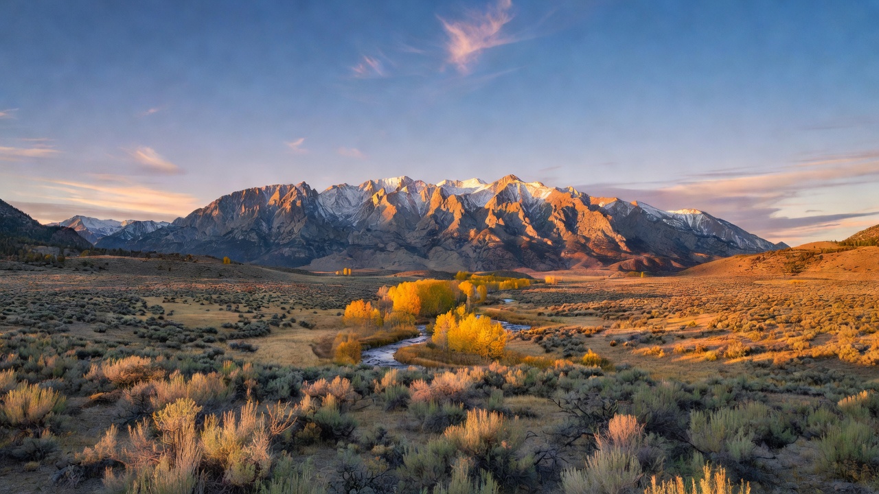
Humboldt-Toiyabe National Forest sprawls across the heart of the Great Basin, the vast interior desert of basins and ranges that fills most of Nevada. Unlike a typical forest, it isn't one connected block of trees -- it's a loose archipelago of non-contiguous mountain ranges scattered over most of the state, plus a portion of eastern California along the Sierra front. This is classic basin-and-range country: long, flat sagebrush valleys separated by narrow mountains that rear up abruptly, and it's on those cool, high ranges -- the Santa Rosas, Rubies, Toiyabes, Toquimas, Jarbidge, and Spring Mountains among them -- that the forest actually lives. Each range is its own sky island, catching just enough snow and moisture to grow pinyon-juniper woodland, aspen, and stands of high-country conifer above an ocean of desert. Run from a headquarters in Sparks, just outside Reno, it is by area the largest national forest anywhere in the country outside Alaska.
History
The forest grew out of two of the West's early forest reserves. The Toiyabe National Forest was proclaimed on March 2, 1907, and the Humboldt National Forest followed on July 1, 1908 -- both part of the great wave of public-land conservation under President Theodore Roosevelt and his forester Gifford Pinchot. For most of the 20th century they were run as two separate forests covering the northern and the central-and-southern reaches of Nevada. In 1995 the Forest Service combined them administratively into a single unit, the Humboldt-Toiyabe, managed from Sparks, Nevada. Today that one forest reaches from the sagebrush ranges of far northern Nevada, near the Oregon and Idaho lines, all the way south to the edge of Las Vegas -- looked after through seven ranger districts that each mind a different cluster of desert mountains.
Wildlife & plants
The forest's mountains hold one of the oddest birds in North America: the Himalayan snowcock, a chicken-sized game bird native to the mountains of central Asia that was introduced to the high Ruby Mountains last century and took to the crags so well it now lives there and nowhere else on the continent. Elsewhere across the ranges, bighorn sheep and mountain goats work the cliffs while Rocky Mountain mule deer browse the aspen and mountain-brush -- the Rubies are famous for growing some of the largest mule deer in Nevada. The plant life stacks up with elevation on every range: sagebrush and rabbitbrush on the valley floors, then pinyon pine and juniper woodland, then aspen groves and curl-leaf mountain mahogany, and finally scattered conifers and alpine meadow on the highest, snow-holding peaks.
Notable features
For all its desert reputation, the Humboldt-Toiyabe's showpieces are genuinely alpine. The Ruby Mountains, above the town of Elko, are the forest's crown jewel -- a compact range so thoroughly carved by Ice Age glaciers that its centerpiece, Lamoille Canyon, is a textbook U-shaped glacial valley hung with cirques and alpine lakes. The 90,000-acre Ruby Mountains Wilderness, designated in 1989, guards the high country, and the roughly 40-mile Ruby Crest National Recreation Trail runs the spine of the range up toward 11,387-foot Ruby Dome. In central Nevada, the Toiyabe Range -- the forest's namesake -- rises to Arc Dome at 11,780 feet inside its own wilderness, a long backbone of high country marooned in the middle of the desert. And far to the south, right on the doorstep of Las Vegas, the Spring Mountains National Recreation Area lifts a whole cool, forested sky island out of the Mojave, crowned by Charleston Peak at 11,918 feet -- a snow-topped escape less than an hour from the Strip.
Camps are sourced from public U.S. Forest Service recreation data and have not been personally visited. Roads shown are Forest Service passenger-car routes (maintenance level 3–5) and may be seasonal or gated. Always confirm access, fees and fire rules with the ranger district before you go. Found a fee where we show free? Tell us on the contact page.