Lassen National Forest
Where the camps cluster
The place
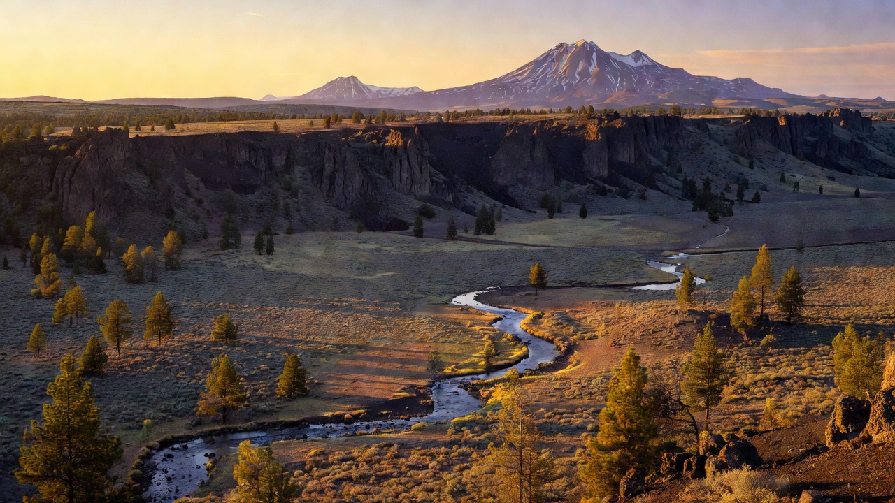
Lassen National Forest covers about 1.2 million acres of northeastern California, and it earns its nickname -- the Forest Service calls this the Crossroads of California, because four big landscapes collide here. Sierra Nevada granite comes up from the south, Cascade and Modoc Plateau lava spreads across the middle, and the Great Basin's sagebrush and juniper run in from the dry east. You can drive from pine forest to black lava beds to open sage country in a morning. The forest wraps around Lassen Volcanic National Park on nearly every side without taking it in -- the park is its own outfit -- and the headquarters is over in Susanville. One thing worth knowing before you read a map: the boundary drawn around a national forest is bigger than the forest itself, and a good share of what's inside the lines here is private ground.
History
The country started down the road to becoming a national forest in 1905, when the Lassen Peak Forest Reserve was set aside; by around 1908 it had taken its shape as Lassen National Forest, picking up part of the old Diamond Mountain reserve along the way (other pieces of that one went to neighboring forests). The name goes back to Peter Lassen, a Danish-born blacksmith turned pioneer who guided emigrant wagon trains and gave his name to the Lassen Trail, the 1848 cutoff that brought people through this country. The Nobles Emigrant Trail crosses the region too, but that one belongs to William Nobles, who laid it out in the early 1850s -- a different man and a later route. Long before any of that, this was home to the Yahi, Maidu, Atsugewi, and neighboring peoples. The most famous story here is Ishi's: the last known member of the Yahi, he walked out of these foothills near Oroville in 1911 after years of hiding, and the wilderness on the forest's southwest side now carries his name.
Wildlife & plants
Black bears are here and worth respecting -- keep your food put away. Mule deer are the animal this country is really known for: the East Tehama herd, one of California's big migratory herds, winters down in the foothills including the Ishi Wilderness and climbs back up as the snow goes. Mountain lions are around; you'll read them in tracks long before you see one. Head to the dry east side and it starts feeling like the Great Basin -- pronghorn out on the sage flats. Bald eagles and ospreys work the bigger water, and Eagle Lake is a good place to look for eagles. The fish are the draw for a lot of people: Hat Creek is a legendary spring-creek trout stream, and Eagle Lake has its own endemic rainbow trout. As for the trees, you climb through ponderosa and Jeffrey pine into white and red fir and incense cedar, and drop east into juniper and sagebrush.
Notable features
Lassen Peak, the namesake, is 10,457 feet and the southernmost active volcano in the Cascade Range -- but it's in the adjoining national park, not on the forest. It erupted from 1914 to 1917, with the big blast in May 1915. The forest's own high point is Crater Peak, about 8,677 feet, in the Thousand Lakes Wilderness -- one of three wildernesses here alongside Caribou and Ishi. Hat Creek Rim is the landmark most travelers meet: a long lava escarpment with enormous views, crossed by the Pacific Crest Trail on one of the longest dry stretches in California, often talked about as roughly 30 waterless miles. Down in the valley below it, Hat Creek runs as a spring creek and was California's first designated Wild Trout water. Over on the east side is Eagle Lake -- the second-largest natural lake lying entirely within California, and an alkaline one -- managed jointly by the forest, the BLM, and private landowners around the shore. Lake Almanor, a big PG&E reservoir, sits on the forest's southern edge, and the Bizz Johnson National Recreation Trail runs about 25 miles of old railroad grade up the Susan River canyon out of Susanville, run jointly by the forest and the BLM.
Camps are sourced from public U.S. Forest Service recreation data and have not been personally visited. Roads shown are Forest Service passenger-car routes (maintenance level 3–5) and may be seasonal or gated. Always confirm access, fees and fire rules with the ranger district before you go. Found a fee where we show free? Tell us on the contact page.