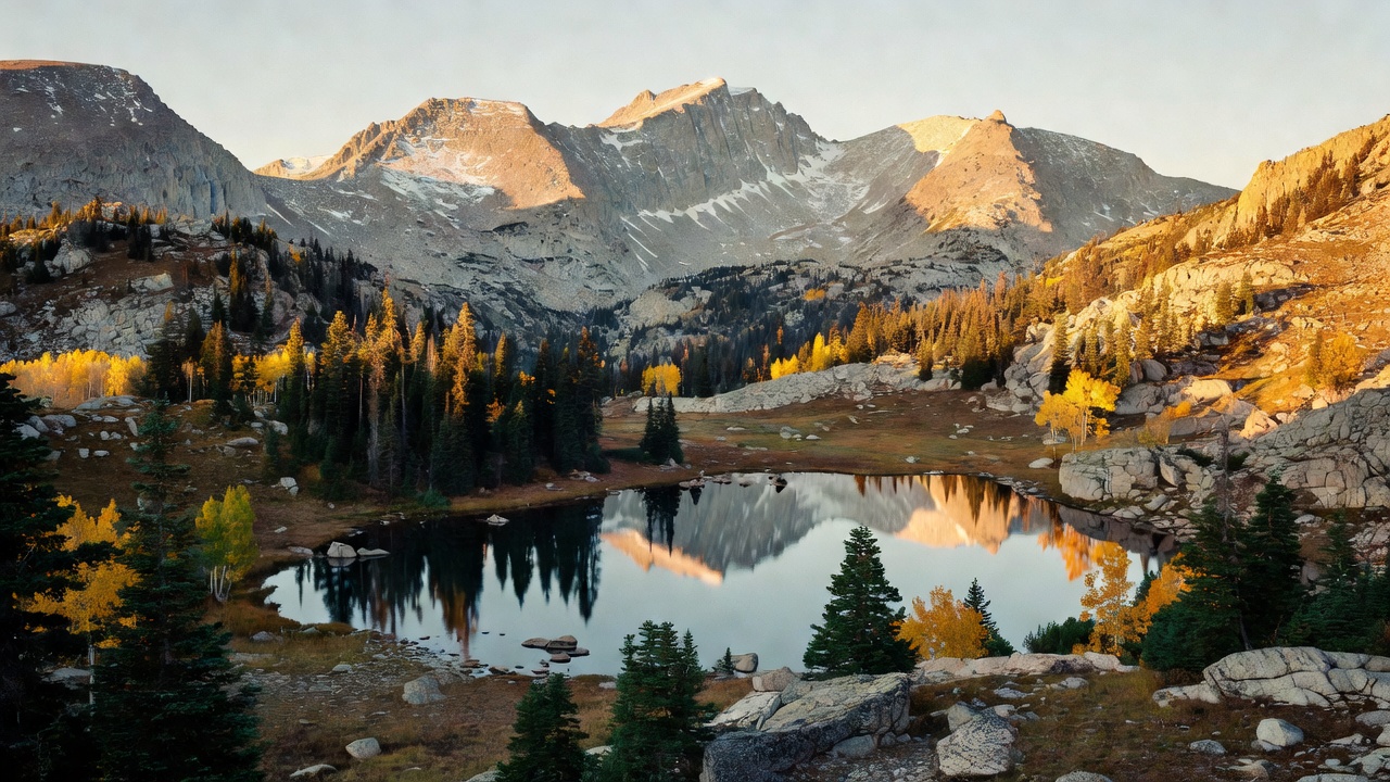
Medicine Bow-Routt National Forest
Where the camps cluster
The place
Medicine Bow-Routt National Forest is really three landscapes managed as one. It joins the Medicine Bow National Forest of southeastern Wyoming, the Routt National Forest of northwestern Colorado, and the Thunder Basin National Grassland out on the plains of northeastern Wyoming, all run together from a supervisor's office in Laramie. Together they reach across northern Colorado and eastern Wyoming and more than a dozen counties, from windswept shortgrass prairie up to alpine peaks topping 12,000 feet.
The mountain country falls into a handful of distinct ranges. In Wyoming rise the Snowy Range and the Sierra Madre, along with the granite outcrops of the Pole Mountain and Laramie Peak country; in Colorado the Park Range carries the Continental Divide, which splits the Routt side nearly in half. Water shed off the east slope runs into the North Platte, while the west slope drains toward the Yampa. Between the summits lie glacier-carved lake basins, dense spruce-fir and lodgepole forest, aspen groves, and high meadows -- and, far to the east, the very different world of the Thunder Basin's open grazing land.
History
The forest's pieces were set aside in the early days of the national forest system. The Medicine Bow country was first reserved in 1902, and the Routt National Forest was established in 1905 under President Theodore Roosevelt. The Medicine Bow and Routt forests, together with the Thunder Basin National Grassland, were brought under a single administration in 1995. The name 'Medicine Bow' is traced to Native American gatherings in these mountains, where tribes came in search of mountain mahogany -- a hard, springy wood prized for making bows -- the word 'medicine' carrying its old sense of something good and powerful. The combined unit is managed today from Laramie, Wyoming.
Wildlife & plants
The range of country here means a wide range of animals. The high forests and alpine basins hold elk, mule deer, moose, bighorn sheep, black bears and mountain lions, with beaver working the willow-lined creeks and cold streams and lakes holding trout. Out on the Thunder Basin grassland the cast changes entirely -- pronghorn range the open prairie, and the shortgrass supports prairie dogs and grassland birds. The vegetation climbs in bands, from sagebrush and grass at the lowest elevations up through lodgepole pine, aspen and dense spruce-fir forest to alpine tundra above the trees. In the Mount Zirkel Wilderness the snow and wind are strong enough to sculpt a rare 'ribbon forest,' where trees survive only in narrow north-south bands.
Notable features
The forest's signature stretches are its high wildernesses and rock. On the Colorado side the Routt holds seven wilderness areas; the largest fully within it is the Mount Zirkel Wilderness -- roughly 160,000 acres straddling the Continental Divide, named for 12,182-foot Mount Zirkel -- alongside Sarvis Creek and shares of the Flat Tops, Rawah, Never Summer, Neota and Platte River wildernesses. In Wyoming the Snowy Range lifts pale, nearly two-billion-year-old quartzite to Medicine Bow Peak at 12,013 feet, above a string of glacial lakes such as Lake Marie. Down near Laramie, the Pole Mountain unit holds Vedauwoo, a jumble of 1.4-billion-year-old Sherman granite famous among climbers for some of North America's best crack climbing. And on the Routt side, Steamboat Ski Resort rides the slopes of Mount Werner. All told the forests offer more than 360 trails, campgrounds and day-use areas.
Camps are sourced from public U.S. Forest Service recreation data and have not been personally visited. Roads shown are Forest Service passenger-car routes (maintenance level 3–5) and may be seasonal or gated. Always confirm access, fees and fire rules with the ranger district before you go. Found a fee where we show free? Tell us on the contact page.