Mendocino National Forest
Where the camps cluster
The place
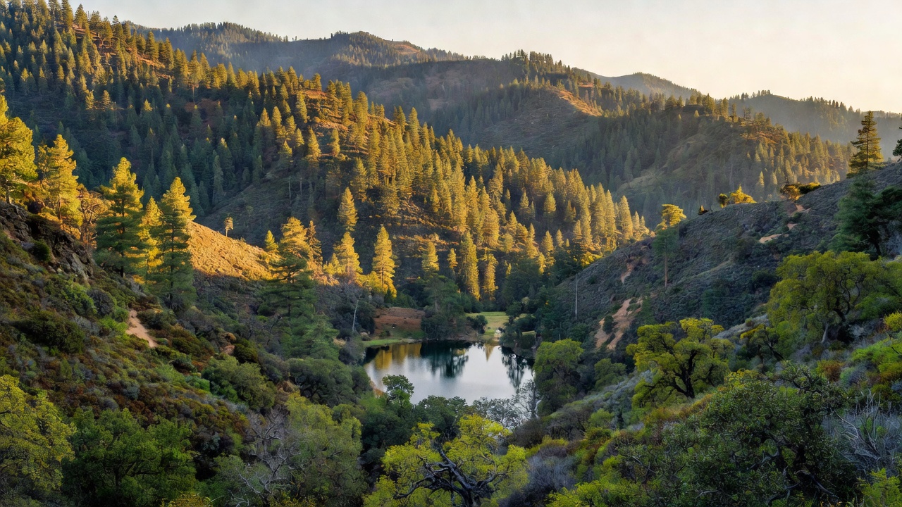
Mendocino National Forest straddles the eastern spur of the North Coast Range in northwestern California, about 65 miles long and 35 miles across, spread over parts of six counties -- Lake, Glenn, Mendocino, Tehama, Trinity and Colusa -- with the supervisor's office down in Willows and three ranger districts (Covelo, Grindstone and Upper Lake) working the ground. Its defining trait is what it does not have: the Forest Service calls it the only California national forest not crossed by a paved road or highway, which is exactly why people who want solitude come here. Everything past the edge is gravel and dirt. The country climbs hard, from about 750 feet in Grindstone Creek Canyon to 8,092 feet on South Yolla Bolly Mountain, averaging around 4,000 feet in between, so a single day can take you from blue-oak and chaparral foothills above the Sacramento Valley up through mixed conifer and wet meadows to bare, rocky subalpine ridges. It's a three-hour drive north of both San Francisco and Sacramento -- close enough to be easy, far enough that most people never turn off the highway.
History
Five Native peoples lived in this country before European settlement -- the Yuki, Nomlaki Wintu, Patwin Wintu, Eastern Pomo and Northeastern Pomo -- and the forest's Yuki Wilderness carries one of those names. The federal chapter starts on February 6, 1907, when President Theodore Roosevelt set aside the Stony Creek Forest Reserve; it became the Stony Creek National Forest a month later, and was renamed the California National Forest in 1908. That name caused trouble for a quarter century, and on July 12, 1932, President Herbert Hoover renamed it Mendocino National Forest -- in the proclamation's own reasoning, to avoid the confusion of a state and a national forest inside it sharing a name. The new name came by way of Mendocino County, which was named for Cape Mendocino up in Humboldt County; the explorer Cabrillo named that cape in 1542 for Don Antonio de Mendoza, the first viceroy of New Spain. The hardest date on the calendar is July 9-11, 1953, when the Rattlesnake Fire -- deliberately set -- burned in Powder House Canyon. That evening the wind picked up, reversed, and poured downhill onto crews working below; fifteen firefighters died, one Forest Service employee and fourteen volunteers from the New Tribes Mission. The man who set it was convicted of willful burning. Rattlesnake became one of the foundational case studies in American wildland fire training, fed directly into the safety reforms of the 1950s, and is still taught today; memorial crosses stand at the site. Fire wrote the modern chapters too: the 2018 Mendocino Complex burned 459,123 acres across this region -- its Ranch Fire ran deep into the forest in early August -- and in 2020 the lightning-caused August Complex burned from August 16 into November across 1,032,648 acres, mostly on this forest, becoming both California's largest recorded wildfire and, on October 5, 2020, the first 'gigafire' of the state's modern era. Much of the forest you drive through today is recovering burn.
Wildlife & plants
The headline animal is the tule elk, a subspecies found nowhere but California. They were reintroduced to the Lake Pillsbury Basin in the Upper Lake district in the late 1970s and had grown to roughly 80 animals by 2007, making this one of only two national forests in the state with tule elk. The rest of the cast is classic North Coast Range: black bear, mountain lion, black-tailed deer, and northern spotted owls in the older timber. The Snow Mountain area alone is credited with more than 500 plant species and 122 species of wildlife, which is a fair measure of how much the forest's elevation range buys you. Fish are a real draw and a real conservation story -- the Middle Fork Eel, a designated Wild and Scenic River running through the Yuki Wilderness, carries rainbow trout, steelhead and Chinook salmon. The Eel system as a whole is the third-largest watershed lying entirely within California, and in its natural state it was the state's third-largest producer of salmon and steelhead, with over a million fish spawning in a year. The main stem rises right here, on the southern flank of 6,740-foot Bald Mountain in the Upper Lake Ranger District. Vegetation runs from oak woodland and chaparral through mixed conifer to wet meadows, and the forest's old growth is Coast Douglas-fir, ponderosa pine, white fir, tanoak and Pacific madrone, with stunted red fir and mountain mahogany hanging on up at the top. How much of that old growth survived the 2018 and 2020 megafires is a question the maps have not fully caught up with yet.
Notable features
Four wilderness areas cover roughly 305,000 acres of the forest. Yolla Bolly-Middle Eel is the giant at 180,877 acres, one of the original units protected by the 1964 Wilderness Act and later enlarged, shared with the Shasta-Trinity and Six Rivers national forests; it runs about 19 miles north-south by 24 miles east-west, tops out at 8,092-foot Mount Linn on South Yolla Bolly Mountain with several other peaks above 7,000 feet, holds glacier-carved cirque basins above 6,000 feet, and on a clear day gives you Lassen, Shasta, the Trinity Alps and the Kings Range from one summit. It also has one of the lowest visitor densities of any wilderness in California -- fifteen trailheads ring the perimeter and most days you will have it to yourself. Snow Mountain Wilderness (60,076 acres, designated 1984 and expanded in 2006) has the forest's largest known waterfall and climbs from 1,800 feet to 7,056 feet on East Snow Mountain Peak, with barren subalpine rock and stunted red fir up top and the forks of Stony Creek running off the east side. Sanhedrin (10,571 acres) climbs from 1,600 feet on Thomas Creek to 6,175-foot Big Signal Peak with no developed trails at all -- pure off-trail country. Yuki (53,887 acres, partly BLM) protects the Middle Fork Eel. Sanhedrin and Yuki were both signed into law on October 17, 2006. Snow Mountain also anchors the Berryessa Snow Mountain National Monument, established July 10, 2015 and expanded in May 2024, which now spans 344,476 acres jointly managed by the BLM and the Forest Service -- 197,214 of those acres sit on this forest. For water, Lake Pillsbury is the big one at 2,280 acres, with boat ramps, camping and resorts, formed by a dam built in 1921; Letts Lake and Plaskett Lakes are the small, quiet alternatives. Off the wilderness, this is one of the friendlier forests for off-highway vehicle travel, and the ridges draw paragliders.
Camps are sourced from public U.S. Forest Service recreation data and have not been personally visited. Roads shown are Forest Service passenger-car routes (maintenance level 3–5) and may be seasonal or gated. Always confirm access, fees and fire rules with the ranger district before you go. Found a fee where we show free? Tell us on the contact page.