National Forests in Texas
Where the camps cluster
The place
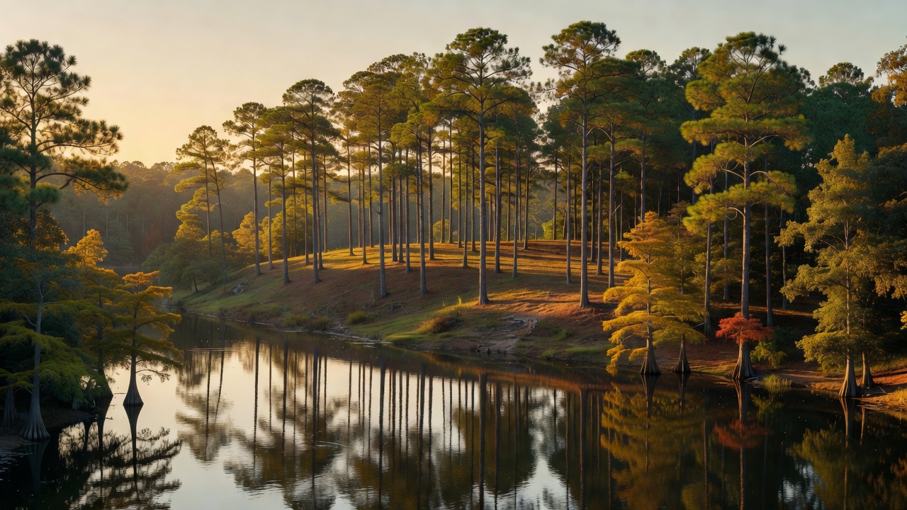
This is the piney end of Texas, the part most people never picture when they think of the state. The National Forests in Texas -- officially the National Forests and Grasslands in Texas -- are four separate national forests strung across the East Texas Piney Woods, all administered as one unit from a supervisor's office on North Raguet Street in Lufkin -- along with the Caddo and LBJ national grasslands up near the Dallas-Fort Worth side of the state, which is how the Forest Service arrives at the "over 675,000 acres" it claims for the unit as a whole. The forests themselves each run somewhere in the 150,000-to-165,000-acre range. Sam Houston sits closest to the city, about 50 miles north of Houston across Montgomery, San Jacinto and Walker counties. Davy Crockett lies between Crockett and Lufkin in Houston and Trinity counties. Angelina wraps the north and south shores of Sam Rayburn Reservoir in Angelina, Jasper, Nacogdoches and San Augustine counties. Sabine runs up against the Louisiana line along Toledo Bend Reservoir, touching five counties. The terrain is flat to gently rolling -- there is no mountain here to climb -- and the country reads as loblolly and shortleaf pine on the ridges, longleaf pine in the south, and hardwood bottoms of sweetgum, oak, river birch and sycamore down where the creeks run. It is humid and it is green: Sam Houston averages about 83 degrees through the summer and takes roughly 44 inches of rain a year. The grasslands on the same letterhead are a completely different landscape and get their own pages here. What ties these four forests together is water and pine -- two enormous reservoirs, a web of Neches River bottomland, and a fire-maintained pine woods that the Forest Service keeps open with a burn drip torch.
History
These forests exist because the timber was gone. The East Texas pine boom of the late 1800s and early 1900s ran through this country hard -- the Central Coal and Coke Company, working what is now the Davy Crockett National Forest from 1901 to 1920, had clear cut its holdings and shut down by 1920. Texas answered in 1933 with a legislative act authorizing the purchase of cutover land for the national forest system, and Franklin D. Roosevelt proclaimed the purchases as national forests in October 1936. All four Texas forests carry that same 1936 birthday. The Civilian Conservation Corps did the physical work of the recovery through the 1930s: on the Sabine, CCC crews between 1933 and 1940 planted pine seedlings, cut roads, raised fire lookout towers and built recreation facilities including the Boles Field Campground, and on the Sam Houston they built the Double Lake Recreation Area in 1937 -- it is still one of the best-loved campgrounds on the forest. Nearly a century of that work is what you are camping in. The human history runs far deeper than the sawmills, though. Archaeological sites on the Angelina document people here for some 8,000 years, and the Sam Houston country shows evidence of habitation going back around 12,000. In the San Jacinto and Trinity river basins the historic peoples were Atakapan-speaking groups -- the Bidai, Patiri, Deadose and Akokisa -- who did not survive contact, and were gone as distinct peoples by the early 19th century. The modern chapter came in 1984, when a wilderness campaign led by the Texas conservationist Edward C. Fritz produced five designated wilderness areas across these forests, putting the wildest scraps of the Piney Woods permanently off limits to the saw.
Wildlife & plants
The animal that defines these forests is a bird about the size of your thumb. The red-cockaded woodpecker is the only woodpecker on the continent that excavates its cavities exclusively in LIVING pine trees, generally ones more than 80 years old, and it does it in clusters of cavity trees that dozens of other species end up borrowing. Texas is the western edge of its range, and it lives on all of these forests -- which is why you will see so much prescribed fire here, since the open, park-like pine stands it needs disappear without regular burning. It is a genuine comeback story: the U.S. Fish and Wildlife Service reclassified it from endangered to threatened in a rule published October 25, 2024, after the population climbed from an estimated low of about 1,470 clusters in the late 1970s to roughly 7,800 clusters across 11 states from southern Virginia to eastern Texas. Beyond the woodpecker, the birding is legitimately deep -- close to 300 bird species have been recorded on the Angelina alone, and bald eagles winter around the big lakes. On the ground it is white-tailed deer country first and foremost, with eastern gray squirrels, bobcats, river otters along the creeks, pileated woodpeckers hammering the snags, and a heavy population of feral hogs. The water is largemouth bass, bluegill and catfish. Know your snakes before you walk the bottoms: East Texas holds four kinds of venomous snake -- the Texas coralsnake, the eastern copperhead, the northern cottonmouth, and both the timber rattlesnake and the western pygmy rattlesnake -- alongside a long list of harmless ratsnakes and watersnakes, plus alligator snapping turtles in the sloughs. The rarest plant communities are the pitcher plant bogs, where carnivorous plants grow among wild azaleas and orchids in the wet longleaf country of the Angelina.
Notable features
Sam Houston National Forest carries the Lone Star Hiking Trail, which the Forest Service calls a 129-mile National Recreation Trail and which is generally reckoned the longest hiking trail in Texas -- an honest long-distance walk within an hour's drive of a major city, kept up largely by a volunteer trail club. Note that the mileage counts loop and crossover spurs; the continuous through-route is shorter. The same forest has about 85 miles of multiple-use trail open to hiking, biking, horses and registered OHVs, the CCC-built Double Lake Recreation Area, Cagle Recreation Area on the shore of Lake Conroe, and the 3,855-acre Little Lake Creek Wilderness, whose hardwood bottoms include mature stands not cut since the 1920s. Angelina National Forest is the lake forest: it wraps both shores of Sam Rayburn Reservoir and holds two wildernesses, Turkey Hill and the 13,331-acre Upland Island, designated October 30, 1984 -- park-like longleaf pine uplands, pitcher plant bogs, and palmetto flats and bottomland hardwoods down toward the Neches. Sabine National Forest fronts Toledo Bend Reservoir on the Louisiana border and protects the roughly 12,000-acre Indian Mounds Wilderness, which holds the largest old-growth stand of American beech and southern magnolia in the national forest system and takes its name from four natural mounds, some of them about 40 feet tall. Its Trail Between the Lakes runs 28 miles from Toledo Bend west toward Sam Rayburn, foot travel only -- a project that took most of a decade and was not finished until the fall of 1990. Davy Crockett National Forest centers on 45-acre Ratcliff Lake, which started life as a log pond for the sawmill, and the 20-mile Four C National Recreation Trail, named for the Central Coal and Coke Company and running partly on the grade of its old logging railroad from the Neches Bluff Overlook down to Ratcliff. Its 3,639-acre Big Slough Wilderness lies mostly in the Neches River floodplain and takes in about five square miles of old-growth hardwood.
Camps are sourced from public U.S. Forest Service recreation data and have not been personally visited. Roads shown are Forest Service passenger-car routes (maintenance level 3–5) and may be seasonal or gated. Always confirm access, fees and fire rules with the ranger district before you go. Found a fee where we show free? Tell us on the contact page.