Ochoco National Forest
Where the camps cluster
The place
Ochoco National Forest rides the Ochoco Mountains of central Oregon, spreading north and east of Prineville across Crook, Wheeler, Grant and Harney counties. It sits right on the seam where the wet, forested slopes of the Cascades give way to the dry Great Basin: more than 900,000 acres of ponderosa pine and mixed conifer broken up by rimrock, deep river canyons, geologic oddities and open high-desert terrain. The forest cradles the headwaters of the North Fork Crooked River, and together with the nearby Crooked River National Grassland it also administers, the two units cover close to a million acres of central Oregon backcountry.
This is the quiet, uncrowded side of the region -- far less trafficked than the Cascade forests to the west, with long stretches of empty pine woods, prairie edges and stone. The name "Ochoco" is generally traced to a Northern Paiute word tied to willows and willow-lined creeks.
History
Ochoco National Forest was established on July 1, 1911, from lands the federal government had set aside as forest reserve across central Oregon in the early 1900s. The Ochoco Mountains and their pine forests were long Northern Paiute country before ranchers, loggers and homesteaders pushed into the Prineville area in the late 19th century, and the big ponderosa stands here became working timber ground for much of the 20th century. Today the forest is managed for a mix of recreation, wildlife habitat, grazing and restoration, including prescribed burning aimed at bringing back the open, fire-adapted pine woods.
Wildlife & plants
The Ochoco's dry pine forests, canyons and sagebrush edges hold a classic eastern-Oregon mix of wildlife. Mule deer and Rocky Mountain elk winter on the lower slopes in numbers big enough that the Forest Service closes key winter range to motor vehicles from December into spring. Species of conservation interest documented on the forest include the Pacific marten, pileated woodpecker, wolverine, greater sage-grouse and ferruginous hawk. The vegetation climbs from juniper and sagebrush steppe on the low ground up through ponderosa pine and mixed conifer, and a 1993 Forest Service study estimated the forest still held roughly 95,000 acres of old growth.
Notable features
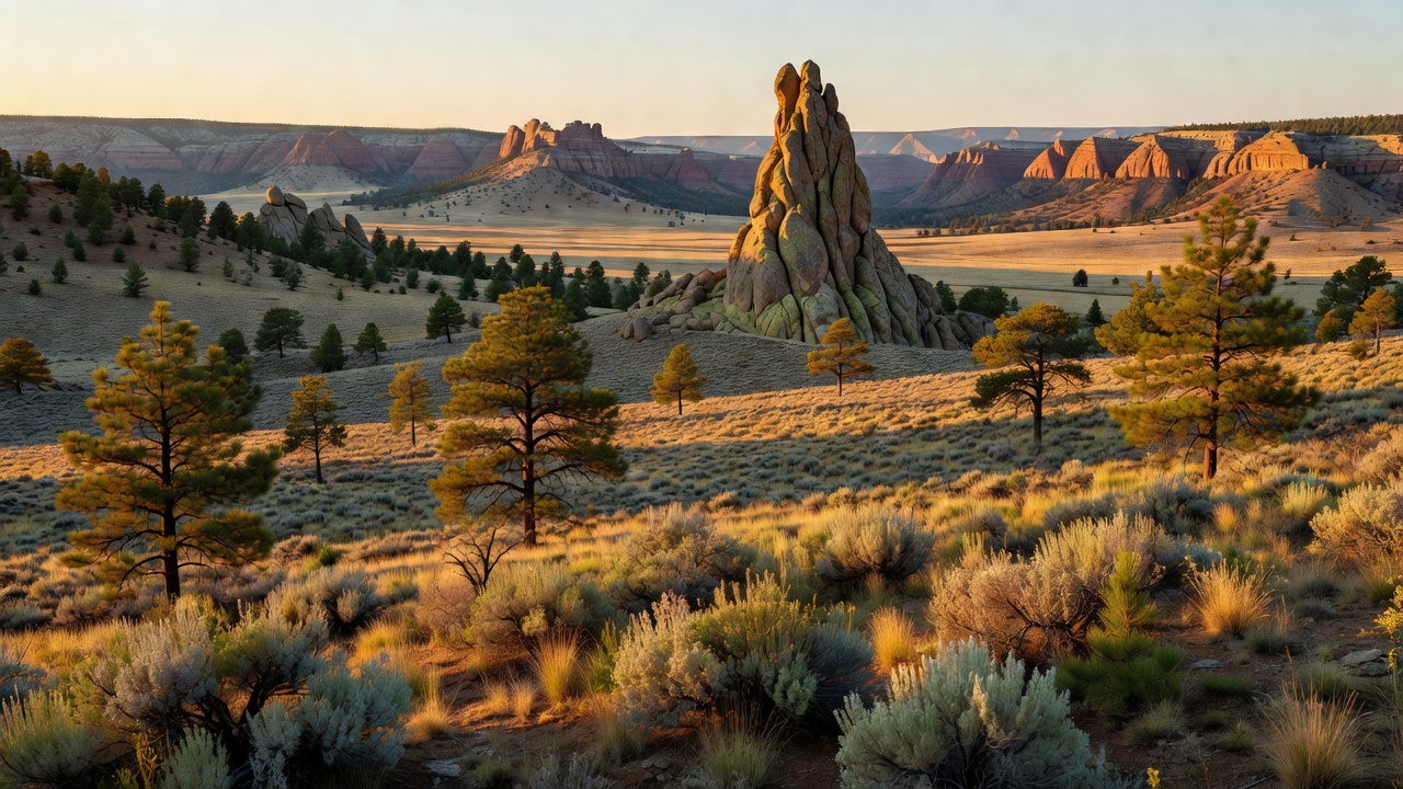
The forest's signature landmark is Steins Pillar, a roughly 350-foot column of welded volcanic rock that towers over Mill Creek -- a remnant of an ancient collapsed caldera and a magnet for hikers and rock climbers, named for Major Enoch Steen, who explored the area in the 1860s. Rising above it all is Lookout Mountain, at 6,926 feet the highest point in the Ochoco Mountains. The forest also protects three small wilderness areas -- Mill Creek, Black Canyon and Bridge Creek, together about 36,000 acres of roadless country. And its rimrock and rhyolite beds make this some of Oregon's premier rockhounding ground: Forest Service-designated dig sites like White Fir Springs and Whistler Springs let visitors collect agate-filled thundereggs, Oregon's official state rock.
Camps are sourced from public U.S. Forest Service recreation data and have not been personally visited. Roads shown are Forest Service passenger-car routes (maintenance level 3–5) and may be seasonal or gated. Always confirm access, fees and fire rules with the ranger district before you go. Found a fee where we show free? Tell us on the contact page.