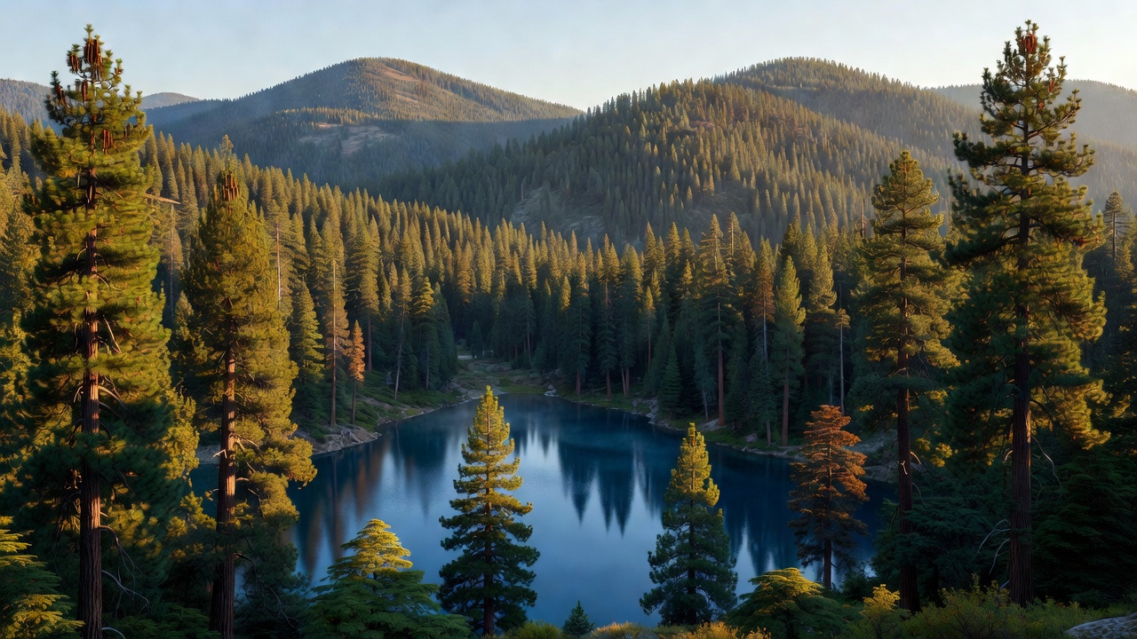
Plumas National Forest
Where the camps cluster
The place
Plumas National Forest sits at the northern end of the Sierra Nevada in California, just south of where the Cascade Range takes over -- and that hand-off is the whole character of the place. The Forest Service describes its own ground as streams and lakes, deep canyons, rich mountain valleys, meadows and lofty peaks, which is unusually honest for agency copy, because the forest really does run that whole range: low oak and pine foothills up near Lake Oroville on the west side, heavily timbered slopes through the middle, and dry, rugged high country out toward Highway 395 on the east. About 85 percent of it lies in Plumas County, with pieces reaching into eastern Butte, northern Sierra, southern Lassen and northeastern Yuba counties. The supervisor's office is in Quincy, and the forest is split into three ranger districts -- Beckwourth out of Blairsden, Feather River out of Oroville, and Mt. Hough out of Quincy. Highway 70 is the year-round way across, running from Oroville up the Feather River Canyon and out to Highway 395; Highway 89 comes in from the Tahoe side. The Forest Service calls this forest uncrowded, and for once that's not a brochure line -- it sits between Tahoe and Lassen, and most traffic drives past it to get to one of those. One thing worth knowing before you read a map: the boundary drawn around a national forest is bigger than the forest itself, and there is private ground inside the lines.
History
The forest is named for its main watershed. Spanish speakers called the river the Rio de las Plumas -- river of the feathers -- and the county and the forest both took the name from the river. Theodore Roosevelt set the country aside as the Plumas Forest Reserve on March 27, 1905; it came over to the Forest Service the next year, and became a national forest in 1907 when the reserves were renamed. A piece of the old Diamond Mountain National Forest was folded in shortly after. Long before any of that, this was and is Mountain Maidu country -- the Northeastern Maidu, whose homeland covers the upper North and Middle forks of the Feather and the mountain valleys that go with them, Indian Valley and American Valley among them. The Greenville Rancheria of Maidu Indians is a federally recognized tribe based in Plumas County. Then came the gold. Prospectors were into the Feather River drainage right after 1849, settlements went up in American and Indian valleys through the 1850s and in Sierra Valley from 1852, and the timber went out behind the gold -- this has been logged hard and continuously since the rush, which is why a 2002 Forest Service study could only identify about 127,000 acres of the forest as old growth. The Western Pacific Railroad later ran its line up the North Fork canyon specifically because this is the low way over the Sierra Nevada, and the canyon's five dams and three hydroelectric projects earned the North Fork the nickname the Stairway of Power. Downstream, Oroville Dam was finished in 1967 as the centerpiece of California's State Water Project. The recent history is fire. Lightning on August 17, 2020 started what became the North Complex, a group of fires burning on this forest that grew to 318,935 acres; its September run killed 16 people and destroyed the Butte County communities of Berry Creek and Feather Falls. Then on July 13, 2021, a fire started in the Feather River Canyon near Cresta Dam and became the Dixie Fire -- 963,309 acres across Plumas and Lassen national forests, private ground, and part of Lassen Volcanic National Park, burning for 105 days and taking most of the town of Greenville on August 4. It is described as the largest single-source wildfire in recorded California history; only the August Complex of 2020, a merger of many fires, burned more. You will drive through a lot of standing dead timber here, and some roads and campgrounds are still recovering.
Wildlife & plants
This is mixed-conifer country, and the tree list reads like a roll call of the Sierra: ponderosa and Jeffrey pine, sugar pine, Douglas-fir, white fir, incense cedar, lodgepole, and near-solid stands of red fir once you get up high. Down in the draws you'll find alder and aspen, corn lilies in the wet spots, and montane chaparral on the hot slopes. The animals are the northern-Sierra standards -- black bear, mule deer and black-tailed deer, coyote, and mountain lion, which you will read in tracks long before you see one. Put your food away. Birders do well: bald eagles nest here, and they're taken seriously enough that the Forest Service closes part of Wyandotte Campground at Little Grass Valley Reservoir each spring until the eaglets fledge. Peregrine falcons, owls, and the willow flycatcher are on the list too. For fish, the Middle Fork Feather is the prize -- there's a 32.9-mile stretch of it with no road access at all, and it's known for wild trout. The strangest living thing on this forest, though, is a plant that eats bugs. In the Butterfly Valley Botanical Area near Quincy, the California pitcher plant -- Darlingtonia californica, the cobra lily -- grows in a boggy seep, hooded like a snake about to strike. Insects crawl in following the light, can't find the way back out of the hood, and fall down the tube. Three other insect-eating plants share the ground: round-leaved sundew and common and lesser bladderwort. And if you hike to Feather Falls between November and March, watch Frey Creek -- migrating ladybugs gather there in numbers that stop people on the trail.
Notable features
The Middle Fork Feather River is the headline. It runs close to 100 miles from Sierra Valley near Beckwourth west to Lake Oroville, and 77.6 miles of it were designated Wild and Scenic on October 2, 1968 -- the day the Wild and Scenic Rivers Act passed, which makes it one of the original eight rivers in the entire system. The breakdown is 32.9 miles wild, 9.7 scenic, and 35 recreational, and that wild stretch is genuinely wild: no roads. Feather Falls is the other big draw, on the Fall River just upstream of where it meets the Middle Fork, reached by a Forest Service trail system -- an upper route of 4.5 miles and a lower one of 3.5 that join for a final half mile to the overlook, four to six hours for the loop. The Forest Service calls it the sixth-highest waterfall in the nation, though be aware that ranking rests on an old 640-foot measurement; more recent figures put the drop closer to 410 feet, which is still a serious waterfall but not a top-ten one. The Bucks Lake Wilderness, designated by the California Wilderness Act of 1984, protects high country around Bucks Lake topping out at Mount Pleasant, a bit over 7,000 feet, and the Pacific Crest Trail crosses the forest. On the Beckwourth district, the Lakes Basin Recreation Area sits nine miles southwest of Graeagle and is the prettiest concentrated hiking on the forest: more than 20 small glacier-carved alpine lakes and over 30 miles of trail, with Gold Lake the largest, its water draining down Frazier Creek to the Middle Fork. For flatwater there's Antelope Lake, remote and quiet at about 5,000 feet with 15 miles of shoreline, plus Bucks Lake, Lake Davis, Frenchman Lake, and Little Grass Valley Reservoir. And at the northeast corner of Sierra Valley, Highway 70 crosses Beckwourth Pass at 5,221 feet -- commonly cited as the lowest pass over the Sierra Nevada, and the reason the railroad came this way.
Camps are sourced from public U.S. Forest Service recreation data and have not been personally visited. Roads shown are Forest Service passenger-car routes (maintenance level 3–5) and may be seasonal or gated. Always confirm access, fees and fire rules with the ranger district before you go. Found a fee where we show free? Tell us on the contact page.