Prescott National Forest
Where the camps cluster
The place
The Prescott National Forest sits in north-central Arizona, spread over roughly 1.4 million acres that all but surround the historic city of Prescott. Nearly all of it lies in Yavapai County, with a small slice reaching north into Coconino County, southwest of Flagstaff and north of Phoenix. The Forest Service runs it out of three ranger districts -- Chino Valley to the north, Bradshaw to the southwest and Verde to the southeast -- with the headquarters in Prescott and district offices at Camp Verde, Chino Valley and Prescott.
What defines this forest is vertical range. The Forest Service sums it up in a single phrase -- 'From the Desert to the Pines' -- and it is literal: the land rises from hot, low desert and dense interior chaparral, through belts of juniper and pinyon pine, up to montane conifer forest on the high ground. The Bradshaw Mountains anchor the country just south of Prescott, topping out at Mount Union, 7,979 feet, between the Agua Fria and Hassayampa rivers. That spread of elevation gives the forest a famously mild, year-round climate and a landscape that changes completely with every few thousand feet.
History
This was some of the earliest protected forest land in the Southwest. It was first set aside as a forest reserve on May 10, 1898, passed to the new U.S. Forest Service in 1906, and was formally proclaimed the Prescott National Forest on March 4, 1907. The following year, on July 1, 1908, it absorbed the neighboring Verde National Forest, and in 1934 it took in the Tusayan National Forest as well, reaching close to its present shape. Prescott itself served as an early territorial capital of Arizona, and the forest has been the city's mountain backyard -- for timber, water, ranching and recreation -- ever since.
Wildlife & plants
The forest's real signature is its layered habitat. Because the land climbs so far so fast, it stacks several distinct biotic communities on top of one another: interior chaparral and desert scrub in the low country, juniper-pinyon woodland across the middle elevations, and montane conifer forest, including ponderosa pine, on the peaks. That mosaic supports a wide range of wildlife across very different worlds within a single forest. On the sheer granite cliffs of Granite Mountain, northwest of Prescott, peregrine falcons nest each spring -- so much so that the rock-climbing routes on the mountain's south face are closed for part of the year, typically from early February into mid-July, to protect the nesting birds. It is a good reminder that on the Prescott, the terrain itself is habitat: cliffs, chaparral and pine each belong to something.
Notable features
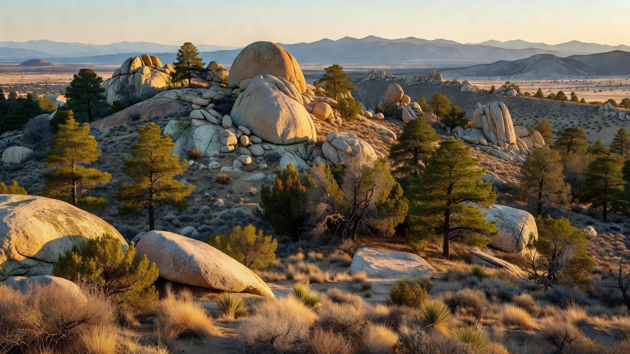
For a forest of its size, the Prescott packs in a lot of variety. It holds eight designated wilderness areas totaling more than 100,000 acres -- among them Granite Mountain, Sycamore Canyon, Pine Mountain, Woodchute, Juniper Mesa, Cedar Bench, Apache Creek and Castle Creek -- laced together by more than 950 miles of scenic trails. Rock climbing and bouldering draw people to the granite domes and boulders of Granite Mountain and to Thumb Butte, the prominent landmark on Prescott's western skyline. Four lakes dot the forest, with Lynx Lake a longtime favorite for boating and fishing, and Mingus Mountain rising to around 7,600 feet on the eastern side. The forest also shelters a stretch of the Verde River: in 1984 Congress designated about 40.5 miles of the Verde -- which rises near the forest's Chino Valley country -- as one of Arizona's Wild and Scenic Rivers.
Camps are sourced from public U.S. Forest Service recreation data and have not been personally visited. Roads shown are Forest Service passenger-car routes (maintenance level 3–5) and may be seasonal or gated. Always confirm access, fees and fire rules with the ranger district before you go. Found a fee where we show free? Tell us on the contact page.