San Bernardino National Forest
Where the camps cluster
The place
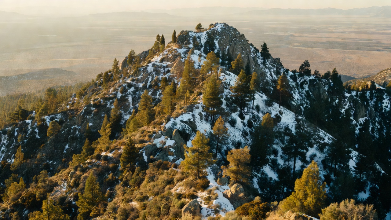
San Bernardino National Forest is Southern California's high country -- roughly 800,000 acres of pine-clad mountains rising straight out of the desert and the Inland Empire sprawl, only an hour or two from tens of millions of people. It's really a cluster of ranges: the San Bernardino Mountains in the north, holding the resort lakes of Big Bear and Arrowhead; the San Jacinto and Santa Rosa Mountains south across San Gorgonio Pass; and a slice of the San Gabriel high country to the west. In just a few miles the land climbs from cactus and creosote to Jeffrey pine and, on the tallest summits, near-treeline rock -- one of the sharpest desert-to-alpine jumps anywhere in the country. Being this close to that many people, it's also one of the busiest national forests in the system.
History
These mountains were set aside early: a San Bernardino Forest Reserve was created back in 1893, mostly to protect the watersheds that fed the growing towns below, and forest reserves nationwide were redesignated national forests in 1907. (The boundaries shifted around after that -- the forest was folded into the Angeles for a stretch and reconstituted in roughly its modern form in the 1920s.) Long before any of that, these ranges were home to the Serrano, Cahuilla, and neighboring peoples, whose names still mark the country. By the early 1900s the mountains had become Los Angeles's backyard escape, and resort towns like Big Bear and Lake Arrowhead grew up around dammed lakes and the winding Rim of the World road.
Wildlife & plants
Black bears and mule deer work the pine belt, with mountain lions and coyotes you're far likelier to read in tracks than to see. The forest's celebrity animals live at its two extremes: endangered peninsular bighorn sheep on the hot desert slopes of the San Jacinto and Santa Rosa ranges (protected habitat -- not a roadside sighting, and dogs are restricted across much of that country because the sheep read them as predators), and bald eagles that winter around Big Bear Lake, where seasonal eagle counts have long tracked their comings and goings (winter numbers have thinned from their late-20th-century peaks, though a few pairs now nest locally year-round). Overhead you'll catch Steller's jays and acorn woodpeckers in the pines. The forest layers up by elevation -- chaparral and pinyon-juniper down low, then Jeffrey and ponderosa pine, sugar pine, incense cedar, and white fir, with lodgepole and limber pine near the tops.
Notable features
The crown of the forest -- and of all Southern California -- is San Gorgonio Mountain, topping out around 11,500 feet, the highest ground in the state south of the Sierra Nevada. Across San Gorgonio Pass stands San Jacinto Peak (about 10,834 feet), whose summit rises so abruptly from the desert that the Palm Springs Aerial Tramway can carry you from the valley floor up to around 8,500 feet on its flank in a matter of minutes (the peak itself, and the tram's upper station, actually sit in Mount San Jacinto State Park). The Pacific Crest Trail threads the whole length of the forest, climbing the San Jacintos, dropping through San Gorgonio Pass, and rising again over the San Bernardinos. Deep Creek's hot springs, the resort lakes of Big Bear and Arrowhead, and the Rim of the World Scenic Byway round out the landmarks.
Camps are sourced from public U.S. Forest Service recreation data and have not been personally visited. Roads shown are Forest Service passenger-car routes (maintenance level 3–5) and may be seasonal or gated. Always confirm access, fees and fire rules with the ranger district before you go. Found a fee where we show free? Tell us on the contact page.