Sequoia National Forest
Where the camps cluster
The place
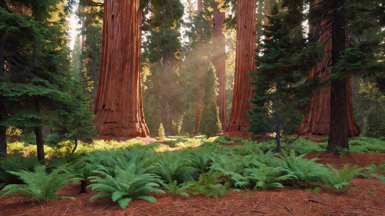
Sequoia National Forest covers roughly 1.1 million acres of California's southern Sierra Nevada, a rumpled sweep of country that climbs from oak-and-chaparral foothills up through pine and fir to granite high country topping out around 12,400 feet (the often-cited high point is Florence Peak, about 12,432 feet). It adjoins and partly wraps Sequoia and Kings Canyon National Parks -- those are separate National Park Service land, and easy to mix up with the forest that shares the name. What sets this forest apart is the giant sequoias: it takes its name from about 33 groves of them, most protected inside Giant Sequoia National Monument. Add the wild Kern River canyons, granite spires like The Needles, and half a dozen wilderness areas, and you've got one of the most varied stretches of the Sierra.
History
Sequoia National Forest was established in July 1908 (commonly dated July 1) out of part of the former Sierra Forest Reserve, in the early Theodore Roosevelt-era push to set aside western forest land. Long before that, this was home ground to Native people -- the Tubatulabal, Yokuts, Mono (Monache), and others -- who lived across the Kern country and the foothills for thousands of years. The late 1800s brought the sequoia loggers: in Converse Basin, one of the grandest groves anywhere, crews felled nearly the entire stand of giants -- an enormous, costly effort that turned out to be largely a commercial failure, since the brittle wood shattered when the huge trees hit the ground. The forest's biggest modern chapter came on April 15, 2000, when President Clinton designated Giant Sequoia National Monument -- about 328,000 acres carved out of the forest to protect its sequoia groves.
Wildlife & plants
Black bears and mule deer are the animals you're most likely to run into (hang or box your food -- the bears here know campgrounds). Mountain lions and coyotes are around but rarely seen. The forest is also home to rarer, more sensitive residents like the Pacific fisher -- a big member of the weasel family that dens in old trees -- and the California spotted owl; you're lucky to spot either. Overhead, California condors -- the largest land birds in North America, brought back from the edge of extinction -- occasionally soar across this part of the Sierra, though they're not an everyday sight. In the cold headwaters of the Kern lives the California golden trout, the state's official freshwater fish, a small trout washed in orange and gold that's native to this country and almost nowhere else. And of course the trees: giant sequoias, sugar and ponderosa pine, incense cedar, and red and white fir climbing the slopes by elevation.
Notable features
The forest's headliners are its giant sequoias. The Trail of 100 Giants, a paved, easy loop through Long Meadow Grove on the Western Divide, lets anyone walk among the big trees; the Boole Tree in Converse Basin is one of the largest giant sequoias standing on national forest land (ranked among the biggest in the world by volume), left alive after the grove around it was logged. The Deer Creek Grove, in the southern reaches, is considered the southernmost natural giant sequoia grove on Earth. Beyond the trees, The Needles are a cluster of sheer granite spires (a beloved fire lookout perched on one was lost to a structure fire in 2011). The wild Kern River tumbles down the eastern side -- stretches of it are protected as a National Wild and Scenic River -- and the forest holds a string of wilderness areas: Domeland, Golden Trout and South Sierra (both shared with Inyo National Forest), Monarch (shared with Sierra National Forest), Jennie Lakes, and Kiavah. The high country tops out around Florence Peak, roughly 12,432 feet.
Camps are sourced from public U.S. Forest Service recreation data and have not been personally visited. Roads shown are Forest Service passenger-car routes (maintenance level 3–5) and may be seasonal or gated. Always confirm access, fees and fire rules with the ranger district before you go. Found a fee where we show free? Tell us on the contact page.