Tonto National Forest
Where the camps cluster
The place
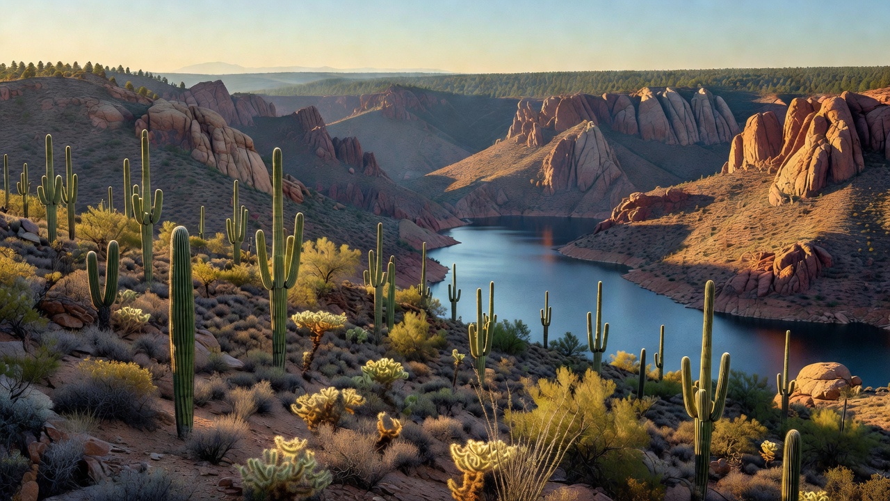
Tonto National Forest is the largest of Arizona's six national forests, and by most counts the ninth-largest national forest in the country. It fills the rugged middle of the state: the Phoenix metro area presses against its southern edge, the Mogollon Rim caps it to the north, and the San Carlos and Fort Apache Indian reservations bound it on the east. What makes it strange and wonderful is the gradient. The Forest Service puts its elevation range at about 1,300 to 7,900 feet, which means you can start the morning among saguaro cactus and creosote in true Sonoran Desert and finish the afternoon parked under ponderosa pine in cool, thin air -- inside one forest boundary, on the same tank of gas. In between are the Superstitions, the Mazatzals, the Sierra Ancha, Four Peaks on the Phoenix skyline, and a chain of reservoirs that look wildly out of place surrounded by desert. It is also, unavoidably, an urban forest: with millions of visits a year it is one of the most heavily used national forests in the United States, and the front country near the metro shows it. Drive an hour further and the crowds evaporate.
History
The Tonto Forest Reserve was set aside on October 3, 1905, and became a national forest on March 4, 1907; it grew over the following decades, absorbing the Pinal Mountains National Forest in January 1908 and a piece of the old Crook National Forest in 1953. The reserve and the dam were the same story. Theodore Roosevelt Dam, on the Salt River, was one of the first five federal projects authorized under the 1902 Reclamation Act and the first major one finished -- built between 1903 and 1911, and dedicated by Roosevelt himself on March 18, 1911. It was the largest masonry dam in the world at the time, 280 feet tall, and it was later encased in concrete and raised 77 feet to 357 feet during a 1989-96 rebuild. Protecting the watershed above that dam is a large part of why this forest exists. The name is borrowed and it is not a kind one: 'Tonto' is a Spanish word meaning roughly foolish, applied by outsiders to the Dilzhe'e -- the people usually called the Tonto Apache, who lived in the Tonto Basin and Verde Valley and often formed mixed bands with neighboring Yavapai. Some consider the term offensive. The Tonto Apache Reservation, created in 1972 near Payson and surrounded by the forest, is 85 acres, the smallest reservation land base in Arizona. Older still are the Salado, who built cliff dwellings in this country in the 13th through early 15th centuries and left behind some of the most striking polychrome pottery and woven textiles in the Southwest; the National Park Service's Tonto National Monument, proclaimed in 1907 and just 1,120 acres, preserves two of those cliff dwellings in Gila County.
Wildlife & plants
Because the forest spans desert to pine, the animal list splits by elevation. Down low it is Sonoran Desert country -- javelina, roadrunners, coyotes, bobcats, and the saguaro-and-mesquite world that goes with them. Up high, on the Rim and in the Sierra Ancha, you get elk and mule deer, black bears, and mountain lions. Bald eagles nest along the Salt and Verde and hunt the reservoirs; parts of the lower Salt and Verde close seasonally to protect them. The lakes are warm-water fisheries rather than trout streams: Roosevelt Lake alone holds largemouth and smallmouth bass, crappie, sunfish, carp, and channel and flathead catfish. The Mogollon Rim itself is a genuine biological boundary -- it is where Rocky Mountain species to the north give way to species of the Mexican Sierra Madre to the south, which is part of why the forest's species list is so oddly mixed. The famous animals here, though, are the horses. A herd of unbranded horses lives along the lower Salt River and around Saguaro Lake, and after a 2015 Forest Service removal notice set off a public firestorm, Arizona wrote them into state law (A.R.S. 3-1491): it is now illegal to harass, shoot, injure, or kill a horse of the Salt River herd, or to chase, capture, or remove one without written authorization. If you meet them, the same law's spirit applies -- keep your distance and do not feed them.
Notable features
The Superstition Mountains are the forest's signature -- a wall of eroded volcanic rock just east of Phoenix, protected as the Superstition Wilderness since 1939, with the spire of Weavers Needle at its heart and the Peralta Trailhead as the classic way in. This is the home of the Lost Dutchman's Gold Mine story: the German immigrant Jacob Waltz supposedly revealed the location of a fabulous gold strike on his deathbed in Phoenix in 1891, and people have been looking ever since. None of it has ever been verified, which has not slowed anybody down. North of the Superstitions, Four Peaks is the notched silhouette on the Phoenix skyline; Brown's Peak, at 7,659 feet, is the highest point in Maricopa County, and there is a working amethyst mine on the mountain that produces genuinely top-grade stone. The Apache Trail -- historic State Route 88, and originally the Tonto Wagon Road built between 1903 and 1905 to supply Roosevelt Dam -- still runs about 40 miles from Apache Junction past Canyon and Apache lakes to Roosevelt, paved as far as Tortilla Flat and dirt, narrow and unguardrailed beyond it. Six reservoirs sit on the forest: Roosevelt, Apache, Canyon, and Saguaro on the Salt, plus Bartlett and Horseshoe on the Verde. Roosevelt Lake, at 21,493 acres, is the largest lake or reservoir entirely within Arizona, and the Arizona Trail crosses the Salt on the State Route 188 bridge just below the dam. Eight designated wilderness areas -- Superstition, Mazatzal, Four Peaks, Sierra Ancha, Salome, Hellsgate, Salt River Canyon, and Pine Mountain -- take big blocks off the motorized map, which is exactly why the classic overland lines here skirt the cliffs instead of crossing them.
Camps are sourced from public U.S. Forest Service recreation data and have not been personally visited. Roads shown are Forest Service passenger-car routes (maintenance level 3–5) and may be seasonal or gated. Always confirm access, fees and fire rules with the ranger district before you go. Found a fee where we show free? Tell us on the contact page.