White Mountain National Forest
Where the camps cluster
The place
White Mountain National Forest covers the high country of northern New Hampshire, with a small corner (roughly six percent of its land) spilling east over the line into western Maine. It is New Hampshire's only national forest, and for millions of people across the Northeast it is the closest thing to true mountain wilderness within a day's drive.
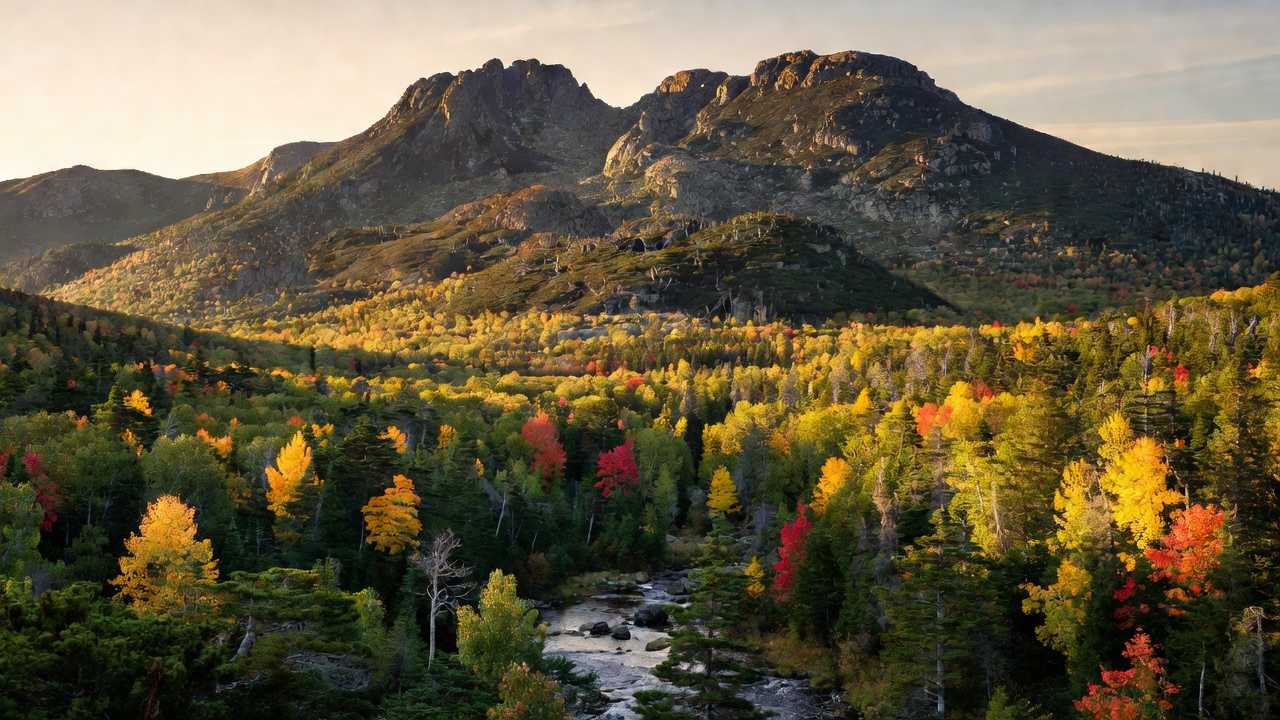
This is a folded, glacier-worn landscape of steep-sided ranges separated by deep notches and fast, clear rivers. The Presidential Range runs down the spine of the forest, joined by the Franconia, Twin, Sandwich and Carter-Moriah ranges, with northern hardwoods -- birch, beech and maple -- on the lower slopes giving way to dark spruce and fir higher up, and finally to open, fragile alpine ground on the highest summits. Threading through the middle of it all is the Kancamagus Highway, a 32-mile mountain road that has become one of the most famous scenic drives in New England.
History
The White Mountain is one of the great eastern national forests born of the Weeks Act of 1911 -- the law that first let the federal government buy up cut-over and worn-out private land in the East and knit it back into public forest. Land acquisition here began in 1914, and the forest itself was established in 1918. Much of the ground had been heavily logged and burned in the decades before, and the century since has been a long story of the forest growing back over old railroad grades and mill sites. Mount Washington, the centerpiece of the range, had drawn people long before that: the Mount Washington Auto Road, a private toll road up the mountain, was completed in 1861, and the Mount Washington Cog Railway has climbed the western slope since 1869.
Wildlife & plants
The forest's woods and wetlands support a classic northern-New-England mix of wildlife -- moose, black bear, white-tailed deer, bobcat, coyote, beaver and river otter -- along with birds of prey including bald eagle and peregrine falcon, and the elusive Canada lynx at the northern edge of its range. The forest cover shifts sharply with elevation, from northern hardwoods on the lower slopes up through red spruce and balsam fir, then into wind-flagged krummholz and a rare, fragile alpine zone on the highest peaks -- the kind of open tundra-like ground more typical of country far to the north. Cold, clear streams and mountain lakes lace the whole forest, and its rivers -- the Swift, the Saco and the Pemigewasset among them -- draw anglers and paddlers all summer.
Notable features
The forest's signature landmark is Mount Washington, at 6,288 feet the highest peak in the northeastern United States and famous for brutal weather: on April 12, 1934 the summit observatory, built in 1932, clocked a surface wind of 231 miles per hour -- for decades the highest wind speed ever measured on Earth that wasn't inside a tornado or tropical cyclone. Six designated wilderness areas protect a good share of the forest's wildest ground: the Pemigewasset (about 45,000 acres), Sandwich Range (about 35,800 acres), Presidential Range-Dry River (about 27,380 acres), Wild River (about 23,700 acres), Caribou-Speckled Mountain (about 12,000 acres) and Great Gulf (about 5,552 acres). More than 100 miles of the Appalachian Trail cross the forest, part of a network of roughly 1,200 miles of hiking trails, and there are more than 20 developed campgrounds, several ski areas, and the celebrated Kancamagus Highway -- a National Scenic Byway topping out at 2,855-foot Kancamagus Pass between Lincoln and Conway.
Camps are sourced from public U.S. Forest Service recreation data and have not been personally visited. Roads shown are Forest Service passenger-car routes (maintenance level 3–5) and may be seasonal or gated. Always confirm access, fees and fire rules with the ranger district before you go. Found a fee where we show free? Tell us on the contact page.