Angeles National Forest
Where the camps cluster
The place
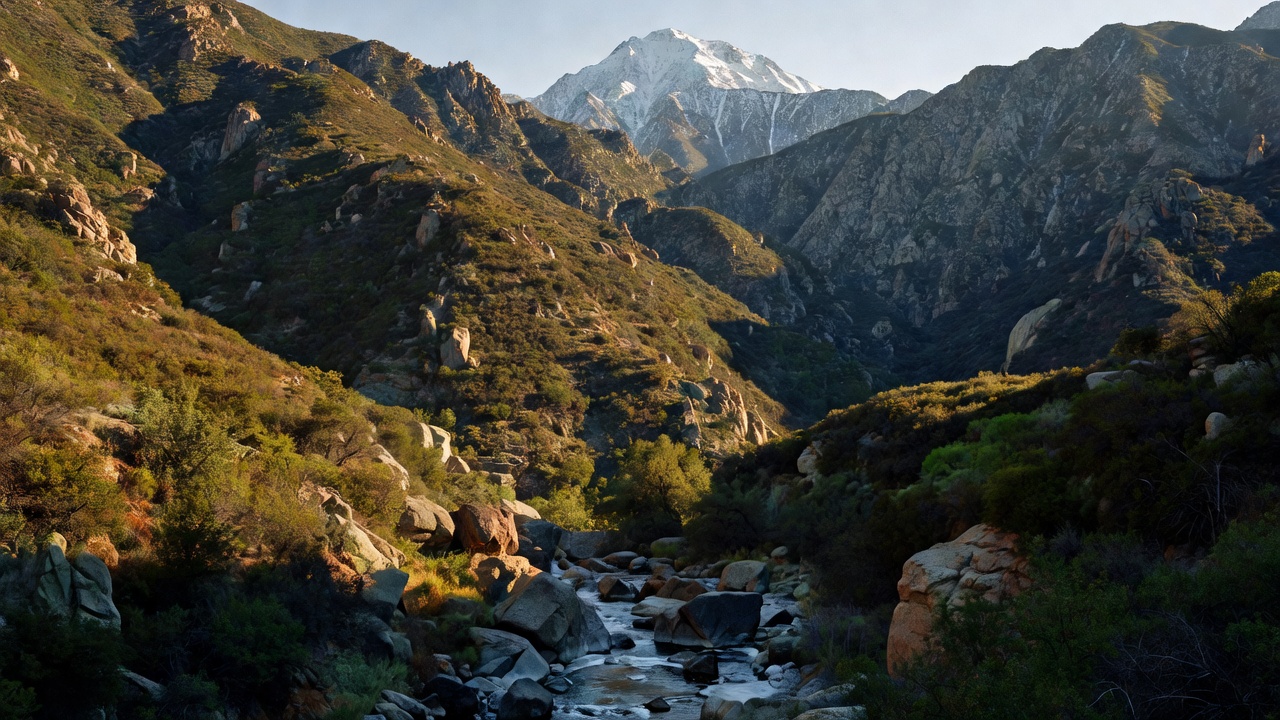
Angeles National Forest is the wild high country at the back door of Los Angeles. Its more than 700,000 acres blanket the steep San Gabriel Mountains and the Sierra Pelona range, spilling across Los Angeles, San Bernardino and Ventura counties, and the terrain climbs from chaparral-covered foothills to timbered ridges and bare 10,000-foot summits in a remarkably short distance. The Forest Service itself calls it "LA's Backyard Playground" -- the backyard for 20-plus million people in the greater Los Angeles metro area.
Because it wraps around one of the largest urban areas in the country, this is an unusually hard-working forest: it soaks up rain and snowmelt for Southern California's reservoirs, its brushy slopes help hold back floods and debris flows, and on any given weekend it absorbs an enormous crowd of hikers, campers, anglers and snow-players. Much of the range's most scenic and ecologically rich country is now protected within the San Gabriel Mountains National Monument.
History
The forest's roots reach back to the San Gabriel Timberland Reserve, set aside by proclamation of President Benjamin Harrison on December 20, 1892 -- one of the earliest forest reserves in the West. Angeles National Forest itself was established on July 1, 1908, and is generally recognized as the first national forest in California and among the first in the nation. In the same era the range became a recreation destination for early Angelenos: the Mount Lowe Railway, a scenic mountain rail line that ran from 1891 until 1938, was once one of Southern California's great tourist attractions. In 2014 President Obama used the Antiquities Act to designate the San Gabriel Mountains National Monument, protecting 346,177 acres -- the great majority of it inside the Angeles -- with a boundary expansion following in 2024.
Wildlife & plants
Despite sitting on the edge of a megacity, the Angeles supports a full complement of Southern California mountain wildlife. Black bears, mountain lions, bobcats, coyotes, gray foxes and mule deer move through its canyons, bighorn sheep hold the high rocky slopes, and rattlesnakes are a common warm-season sight on the trails. The vegetation grades from dense chaparral and oak on the lower flanks up through pine and fir forest near the crest -- a fire-adapted landscape that regularly burns and regrows. That same brush and forest cover is what shields the communities below from flooding and landslides when the winter rains come.
Notable features
The forest's high point is Mount San Antonio -- "Mount Baldy" to locals -- at 10,064 feet the tallest peak in the San Gabriels and a magnet for hikers and, in winter, skiers. Nearby Mount Wilson (5,710 feet) carries the Mount Wilson Observatory, one of the most important astronomical sites in history: its 100-inch Hooker Telescope, completed in 1917, was the largest in the world until 1949, and it was here that Edwin Hubble showed the Andromeda nebula to be a separate galaxy and that the universe is expanding. The forest also protects five wilderness areas -- San Gabriel, Sheep Mountain, Cucamonga, Magic Mountain and Pleasant View Ridge -- and threads the West and East Forks of the San Gabriel River, popular for wading, gold-panning and cool-canyon hiking within easy reach of the city.
Camps are sourced from public U.S. Forest Service recreation data and have not been personally visited. Roads shown are Forest Service passenger-car routes (maintenance level 3–5) and may be seasonal or gated. Always confirm access, fees and fire rules with the ranger district before you go. Found a fee where we show free? Tell us on the contact page.