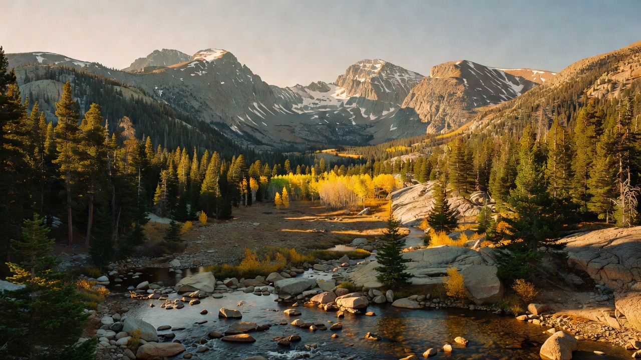
Arapaho and Roosevelt National Forests
Where the camps cluster
The place
Think of it as two forests stitched along a seam. Roosevelt is the eastern slope -- Larimer and Boulder county high country, the forested walls of the Poudre Canyon, and the ground wrapping the north and east sides of Rocky Mountain National Park. Arapaho is mostly the other side of the Divide and the mountains west of Denver, centered on Grand and Clear Creek counties with pieces spilling into Gilpin, Park, Routt, Jackson and Jefferson. The Continental Divide runs between them, which means the water you camp next to is going two different places: this forest holds the upper watersheds of both the Colorado River, headed for the Gulf of California, and the South Platte, headed for the Mississippi. The two forests are administered together with the Pawnee National Grassland out on the plains -- the bundle is known as the ARP -- from a supervisor's office in Fort Collins, and split into five districts: Boulder, Canyon Lakes, Clear Creek, Sulphur, and the grassland. Figure on roughly 2.5 million acres inside the boundary lines, a good share of which is private inholding, water, or somebody else's ground. And figure on company. Proximity to the Front Range cities is this forest's defining feature, for better and for worse: the trailheads near Brainard Lake fill early, and the quiet is out past where the pavement quits.
History
The naming is a tangle worth untangling. Roosevelt is the older of the two -- protected May 22, 1902 as part of the Medicine Bow Forest Reserve, renamed the Colorado National Forest in 1910, and renamed again in 1932 to honor Theodore Roosevelt. Arapaho was established July 1, 1908 by Roosevelt himself, and named for the Arapaho people, who lived on the Colorado eastern plains. So one forest is named for the president who created the other. The peaks carry that same layered history: seven summits in the Indian Peaks were given tribal names -- Navajo, Apache, Pawnee and others -- by a Denver botany teacher named Ellsworth Bethel in 1914. The most consequential renaming came much later. The 14,266-foot peak in Clear Creek County was Mount Evans for over a century, after territorial governor John Evans, who bore responsibility for the Sand Creek Massacre of 1864. The Southern Cheyenne and Arapaho Tribes proposed Mount Blue Sky instead -- the Arapaho were known as the Blue Sky People -- and the U.S. Board on Geographic Names voted the change through on September 15, 2023, effective immediately.
Wildlife & plants
Standard-issue Colorado high country, which is to say excellent: elk, mule deer, moose, coyotes, beavers and badgers, with 198 bird species recorded on the Arapaho side alone. Mountain goats work the rock up on Mount Blue Sky and are one of the few large animals here you can count on actually seeing. One genuine comfort for anyone rolling out a bag on the ground: there are no venomous snakes in this forest. The fish story is the interesting one. The greenback cutthroat trout is Colorado's state fish, named so in 1994, and it was considered extinct by the 1930s -- then found again, and a 2012 genetic study concluded the only surviving population of pure greenbacks lived in a single four-mile stretch of Bear Creek. It is federally threatened and occupies less than one percent of its historic range. The Forest Service is running the Poudre Headwaters Project to put it back: 37 miles of connected stream and 106 acres of lakes in the upper Poudre, spanning these forests and Rocky Mountain National Park, cleared of non-native trout with barriers and rotenone. Removal treatments started in 2025, greenbacks go in in the early 2030s, and the project runs to 2037. Expect closures and treated water up there for years. The other thing to expect is dead timber -- Colorado's mountain pine beetle outbreak began in 1996 and had affected some four million acres statewide at its 2009 peak, and gray lodgepole snags drop limbs in wind. Look up before you pick a tent site.
Notable features
The Cache la Poudre is the headliner: Colorado's only nationally designated Wild and Scenic River, 76 miles of it protected on October 30, 1986. It starts at Poudre Lake up on the Divide in Rocky Mountain National Park and falls 7,000 feet through a rocky canyon in the Roosevelt, which is where the scenic driving, camping, rafting and fishing all happen. The name comes from French trappers in the 1820s who got caught in a snowstorm and buried part of their gunpowder on the bank -- 'hide the powder.' West of the Divide, the Arapaho National Recreation Area protects 30,690 acres around five lakes near the Colorado River headwaters -- Lake Granby, Shadow Mountain, Willow Creek Reservoir, Monarch Lake and Meadow Creek Reservoir -- with Grand Lake, the largest natural lake in Colorado, on its north edge, and the Continental Divide National Scenic Trail running through. The Indian Peaks Wilderness straddles both forests and reaches into the national park: 73,931 acres designated in 1978, seven peaks above 13,000 feet topped by North Arapaho Peak at 13,502, better than 50 lakes and a handful of surviving glaciers. It is heavily used because Denver is right there, and Brainard Lake is the busiest corner of it. Note that the Arapaho Glacier is closed to entry -- it is part of Boulder's municipal watershed. Beyond those, the forests hold or share a long list of wilderness: Byers Peak, James Peak, Never Summer, Vasquez Peak and Mount Evans on the Arapaho, and Comanche Peak, Neota, Rawah and Cache la Poudre on the Roosevelt.
Camps are sourced from public U.S. Forest Service recreation data and have not been personally visited. Roads shown are Forest Service passenger-car routes (maintenance level 3–5) and may be seasonal or gated. Always confirm access, fees and fire rules with the ranger district before you go. Found a fee where we show free? Tell us on the contact page.