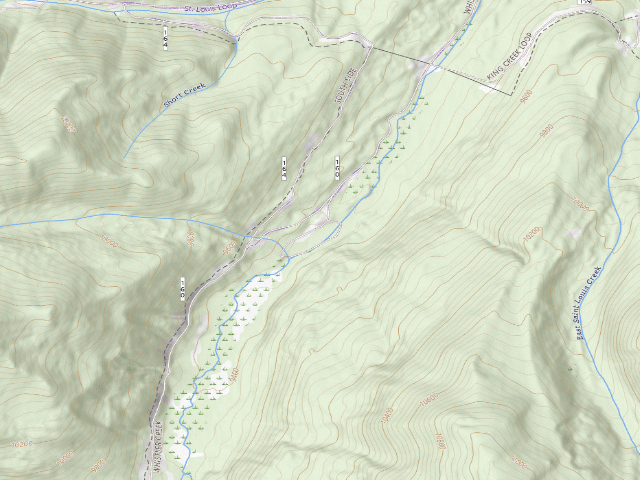
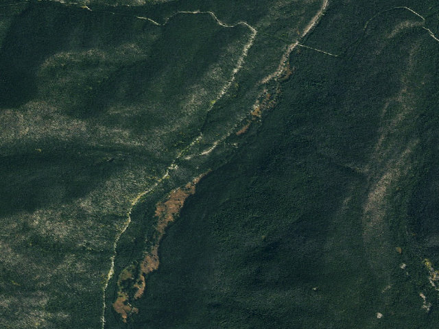
Drive-up · U.S. Forest Service · CO · 39.87641, -105.89751
Ask an AI about this campsiteOpens Grok already loaded with this site. It reads the same records this page is built from, and links whatever it tells you.
U.S. Forest Service lists this as a developed campground. Expect marked sites, a fee station or a reservation, and the usual campground rules. The dispersed-camping freedom of the surrounding forest does not apply inside it. What changes is conditions — roads, gates, closures, fire rules. Check those with the unit before you commit to the drive.
Nearby & resupply — around Byers Creek · Arapaho and Roosevelt National Forests · CO(OpenStreetMap)
Nearest townFraser · ~5.9 mi
Drinking waterWater · ~3.8 mi
FuelConoco · ~6.8 mi
Propane / LPG7-Eleven · ~19.4 mi
Dump station~21.1 mi
GroceriesGrocery · ~6.6 mi
PharmacyWalgreens · ~19.0 mi
Hospital / clinicCentura Health Primary Care Idaho Springs · ~22.5 mi
HardwareAce Hardware · ~6.5 mi
EV charging — from Byers Creek · Arapaho and Roosevelt National Forests · CO— nearest public DC fast & Level 2 (US DOE station data)
Nearest public DC fast charger6.5 mi straight-line NE — TOWN OF FRASER LIONS PONDS · ChargePoint Network · CHAdeMO, CCS · 1 fast port listed · listed open, last confirmed by AFDC 2026-09-16 · hours: 24 hours daily · directions
Public DC fast stations within reach26 within 25 mi · 156 within 50 · 371 within 100 · 439 within 150
Nearest listing NACS (Tesla)14.2 mi — 420 E Park Ave, Empire
Nearest public Level 2 (J1772)6.0 mi — Trailblazers, Fraser, CO · AMPUP · J1772 · 10 Level 2 ports listed · listed open, last confirmed by AFDC 2024-05-09 · hours: Contact site for information
Pricing at the fast chargernot listed
Power (kW)not listed by AFDC — “DC fast” spans roughly 24 to 350 kW, so ask the network.
Read this honestlyStraight-line miles, like every distance on this site. Roads run longer than this, and you have to get back. We know where a charger is listed. We don’t know if it works today, how fast it is, or the road miles. Check the network before you commit. Snapshot 2026-09-16 · AFDC record 169944 · US DOE Alternative Fuels Data Center
Nearby restrooms — around Byers Creek · Arapaho and Roosevelt National Forests · CO— pit toilets, restrooms & rest areas (government data)
Stay limits, road closures and fire restrictions at Byers Creek are set by Arapaho and Roosevelt National Forests, not by the campsite — check there before you go.
The nearest automatic snow station is Fool Creek at 11,130 ft, about 2 miles away. It sits about 1,794 ft higher than this camp, so treat it as a guide rather than a reading for this spot. We do not repeat a depth here, because any number we stored would be stale by the time you read it — the station publishes today's.
Likely — The record is good enough to put a pin on, but thin in places. Treat the details as a starting point, not gospel.
How it was placed
Developed FEE campground (not free) - review | auto:usfs-fee 2026-08-20: US Forest Service developed campground, agency coordinates, agency states a fee. No dollar amount in the agency record -- expect a charge and confirm the current rate before you go. Not field-verified. | Fee 2026-08-22: no rate published by the agency. Byers Creek Campground is on the Sulphur Ranger District of the Arapaho & Roosevelt NF, but it appears in none of the three channels that price every other ARP campground in this audit: it has no fs.usda.gov recreation page (every slug probed returns 404), it is absent from the forest-wide campground status table at https://www.fs.usda.gov/r02/arp/conditions -- the Sulphur district list runs Arapaho Bay, Cutthroat Bay Group, Denver Creek, Green Ridge and on, with no Byers Creek entry -- and it has no recreation.gov listing at all. The forest's camping index https://www.fs.usda.gov/r02/arp/recreation/camping-cabins does not name it either. The Forest Service recreation-site record carries no fee amount. Note the ARP conditions page does mention 'Byers Peak', but that is a dispersed-camping road entry, not this campground -- do not borrow a rate from it. Call the Sulphur Ranger District. Checked https://www.fs.usda.gov/r02/arp/recreation/byers-creek-campground (404), https://www.fs.usda.gov/r02/arp/conditions and https://www.fs.usda.gov/r02/arp/recreation/camping-cabins. | Fee 2026-08-22: no rate published by the agency, and we could not find an agency page for it at all. Every slug probed on the Arapaho & Roosevelt NF returns 404, and -- the stronger evidence -- crawling the forest's complete paginated recreation index (321 entries) turns up only Byers Peak Trailhead and Byers Peak Wilderness, no Byers Creek campground. It is also absent from the Sulphur Ranger District campground status table on the forest's Current Conditions page (updated Aug 20 2026), which lists all fifteen of that district's campgrounds by name, sites, fee and season. A fee campground the managing forest does not list anywhere is worth a look before the next publish. There is no recreation.gov listing either. Checked https://www.fs.usda.gov/r02/arp/recreation (full index) and https://www.fs.usda.gov/r02/arp/conditions.
EV chargers
US DOE Alternative Fuels Data Center station locator, snapshot 2026-09-16. Straight-line miles to the nearest public, open, unrestricted station; restricted and planned units are shown but never counted.
Field check
On the agency's books. The land manager inventoried this site, so its existence is not in question — current conditions are. Nobody from here has camped it recently.
What we don’t know about Byers Creek
A land record can put you within a few meters of a spot. It cannot tell you any of this — so check it yourself, and treat anything below as the open question it is.
Road surface & last-mile access
How many rigs actually fit
Cell coverage by carrier
Seasonal & winter access
Current fire restrictions
Whether any water here is drinkable
Shade & wind exposure
Noise and who else shows up
Whether a listed EV charger works today, or the road miles to it
Been here? Tell us what changed. This page is built from public records, so the fastest way it gets better is somebody who has actually pulled in. Road washed out, site gone, gate locked, or it is exactly as described — all of it useful. Send a report →