Chugach National Forest
Where the camps cluster
The place
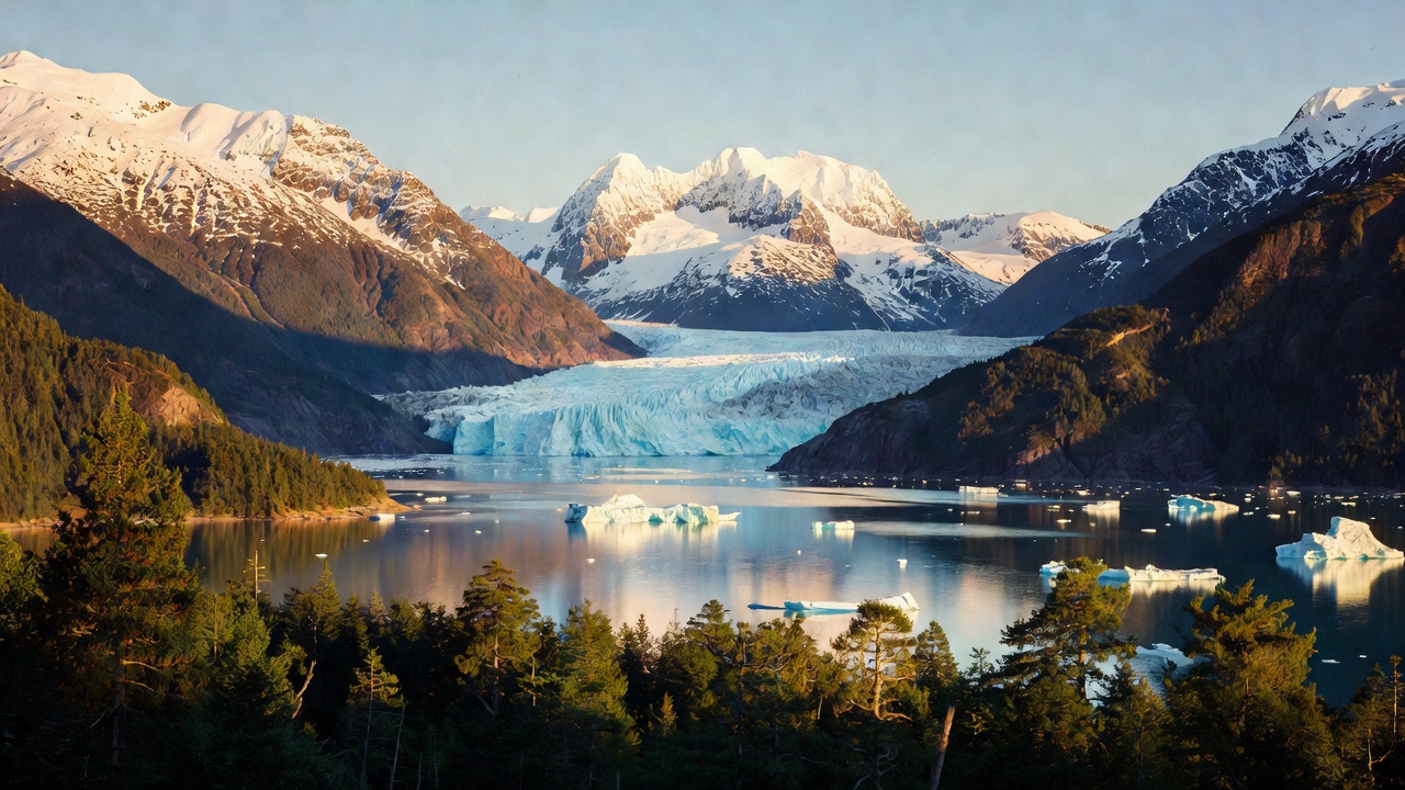
The Forest Service sums up the Chugach in one breath as "temperate rainforest, miles of coastline, islands, glaciers and rivers," and calls it roughly the size of New Hampshire. It sprawls across south-central Alaska in three distinct pieces: Prince William Sound makes up close to half of it, the Copper River Delta about a third, and the Kenai Peninsula the balance. Somewhere near 30 percent of the whole forest is buried under ice. The Sound alone carries some 3,500 miles of shoreline and 22 tidewater glaciers -- rivers of ice that end not in a meadow but in salt water.
For anyone used to Lower 48 forest roads, the Chugach rearranges expectations. There are only about 90 miles of Forest Service road in the entire unit, against more than 500 miles of designated trail and far more coastline than either. A great deal of this forest is reached by boat or by plane, not by turning off onto the next spur. What the road does give you is rare: salt water, glaciers and alpine country stacked into a single day's drive. Less than two percent of the forest is even considered suitable for commercial logging, which tells you most of what you need to know about how much of it is still doing exactly what it has always done.
History
The country that is now the Chugach was settled by the Alutiiq thousands of years ago, and the forest takes its name from the Chugach Sugpiaq, an Alutiiq people of the Kenai Peninsula and Prince William Sound; the spelling was applied to the mountains by Army captain William R. Abercrombie in 1898. Europeans first arrived in the mid-1700s, Russian fur traders followed, the United States purchased Alaska in 1867, and gold turned up in 1888. Chugach National Forest itself was established on July 23, 1907, carved out of a forest reserve that had been designated back in 1892. It is administered from a supervisor's office in Anchorage through ranger districts at Cordova, Girdwood and Seward.
Two events since have redrawn the place. At 5:36 in the afternoon on Good Friday, March 27, 1964, a magnitude 9.2 earthquake struck with its epicenter roughly 12 miles north of Prince William Sound -- the ground at Montague Island rose more than 40 feet, while the Chugach Mountains and most of the Kenai Peninsula sank. Twenty-five years later, on March 24, 1989, the tanker Exxon Valdez struck Bligh Reef in the Sound and spilled nearly 11 million gallons of crude. The Iditarod National Historic Trail, designated in 1978 and running north from Seward, still crosses the southern end of the forest.
Wildlife & plants
The Chugach is one of the great wildlife forests in the system, and the numbers are hard to believe until you see them. Between 3,000 and 5,000 bald eagles live on the Kenai Peninsula portion alone -- roughly as many as the entire contiguous United States -- alongside more than 200 seabird colonies. All five species of Pacific salmon run its rivers, and the salt water offshore carries humpback whales, sea lions and sea otters.
The Copper River Delta is the headline act. The Forest Service calls it "the largest and most important habitat for migrating shorebirds in the western hemisphere," and in a three-week window from about mid-April to mid-May more than three million sandpipers drop onto its mudflats to rest and refuel; nearly the entire world population of Pacific dunlins passes through in the same season. On land, the forest holds moose, caribou, black and grizzly bears, wolves, coyotes, mountain goats, marten and Sitka black-tailed deer -- plus Dall sheep, which are reported to range in no other national forest in the country.
Notable features
Portage Glacier, in the Kenai Peninsula stretch southeast of Anchorage, is the forest's most-visited landmark and its most honest lesson in change: the Forest Service built the Begich/Boggs Visitor Center there in 1986 to look out at the ice, and the glacier has since retreated out of view. Summer visitors now take a boat across Portage Lake to reach it. Centuries ago the same glacier filled all 14 miles of Portage Valley.
Over on the Cordova side, the Copper River Delta covers some 700,000 acres and is the largest wetlands complex on the Pacific coast of North America -- named the first Hemispheric Site by the Western Hemisphere Shorebird Reserve Network in May 1990, and celebrated every spring at the Copper River Delta Shorebird Festival. Miles and Childs Glaciers calve directly into the Copper River, and the small 11-site Childs Glacier Campground looks out on two glaciers and the historic Million Dollar Bridge. Hartney Bay, about six miles southwest of Cordova, is the classic spot to stand and watch the migration come through, with black and brown bears, bald eagles and peregrine falcons for company. Sheridan Glacier is another Cordova-area favorite.
Camps are sourced from public U.S. Forest Service recreation data and have not been personally visited. Roads shown are Forest Service passenger-car routes (maintenance level 3–5) and may be seasonal or gated. Always confirm access, fees and fire rules with the ranger district before you go. Found a fee where we show free? Tell us on the contact page.