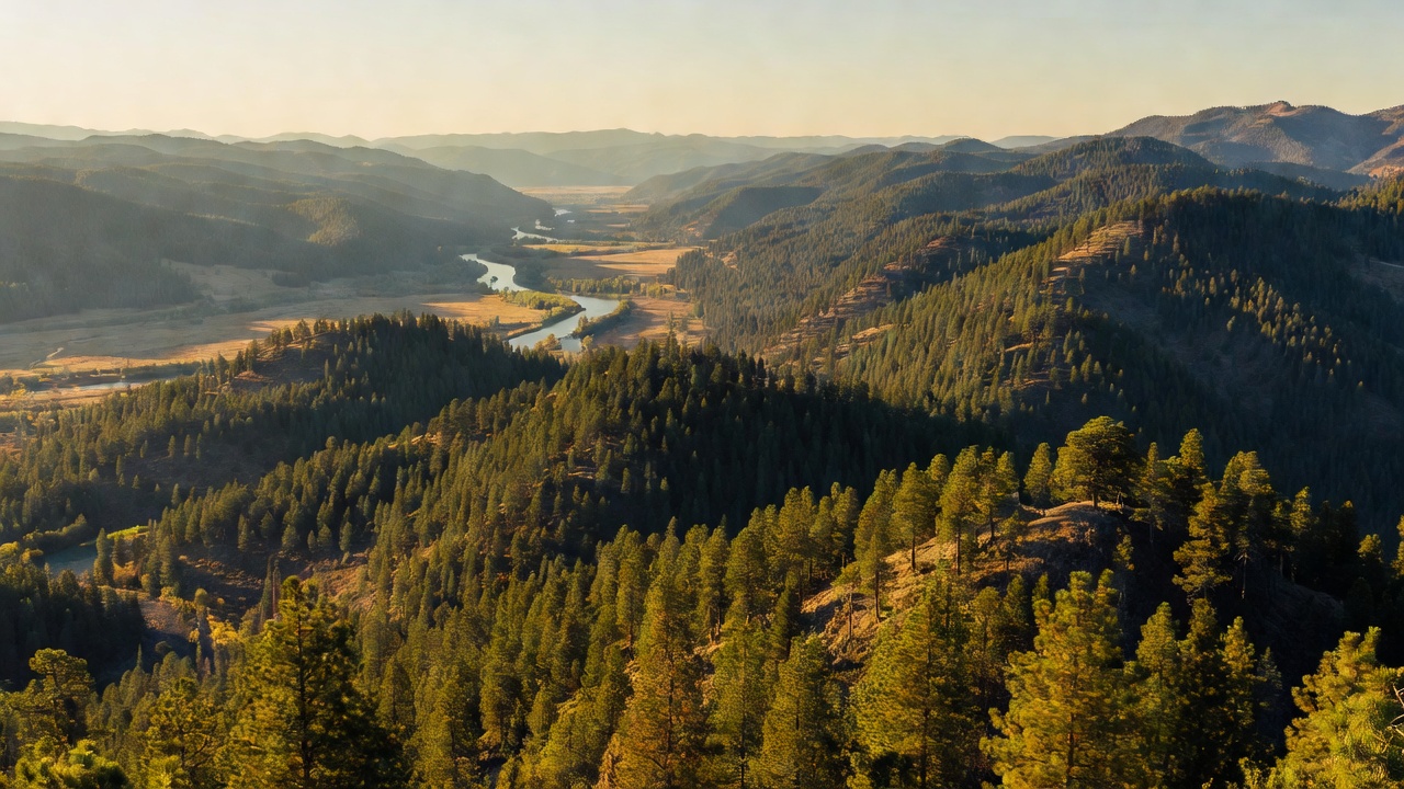
Colville National Forest
Where the camps cluster
The place
Colville National Forest occupies the top-right corner of Washington, a long way from the Cascades and even further from anybody's idea of a crowd. Three ranges -- the Okanogan, the Kettle River and the Selkirk mountains -- run roughly north to south through it and keep going over the Canadian border, and Ice Age glaciers ground out the valleys between them: the Columbia, the San Poil-Curlew, and the Pend Oreille, which drains north into British Columbia rather than south to the sea. Elevations climb from those valley floors to better than 7,300 feet on the Selkirk crest.
What grows here depends on which way the slope faces. Dry ground carries ponderosa pine and Douglas fir; the wetter, colder pockets hold western red cedar, hemlock and western white pine, with subalpine fir up high. Western larch is everywhere and worth timing a trip around -- it's a conifer that drops its needles, and for a couple of weeks each fall the hillsides turn a startling gold. The forest is run out of Colville, Washington through five ranger districts, and it wraps around the Little Pend Oreille National Wildlife Refuge and butts up against the Lake Roosevelt National Recreation Area, so there is a lot of public land stacked together in this corner.
History
President Theodore Roosevelt created the Colville National Forest on March 1, 1907. Long before that, and well after, this was mining country: between 1896 and 1959 the Kettle River Range gave up more than 839,000 ounces of gold, and from 1904 to 1928 it was the largest gold producer in Washington, along with silver, copper, lead and zinc. The Civilian Conservation Corps worked here in the 1930s, and one of their camps -- Camp Growden -- is preserved as a roadside heritage site.
The map is still moving. In October 2020 the Tonasket Ranger District was transferred over from the Okanogan-Wenatchee National Forest, which brought the Colville a slice of the Pasayten Wilderness and a new western edge. In more recent decades the forest has also become a bit of a test case for collaborative management -- the Forest Service credits local collaboration with moving 22 timber-related projects forward without appeal or litigation.
Wildlife & plants
For sheer variety of large mammals, few forests in the lower 48 can match this one. Whitetail and mule deer, elk, moose, bighorn sheep, mountain goats and black bear are all here, and the rare end of the list is genuinely rare: threatened grizzly bears, Canada lynx, and gray wolf packs. Bald eagles winter along the big rivers, and loons and beavers work the lakes.
The forest also carries a real loss. The South Selkirk herd that ranged this border country was the last herd of caribou to regularly cross into the contiguous United States. It fell from fewer than 30 animals in 1983 to three females by 2018, and in January 2019 the single surviving female was captured and taken to a maternity pen near Revelstoke, British Columbia -- the end of wild caribou in the lower 48. Recovery work continues on the Canadian side. A 1993 Forest Service study found the Colville still held 212,488 acres of old growth, and the Salmo-Priest Wilderness holds the largest old-growth forest in eastern Washington.
Notable features
The Salmo-Priest Wilderness in the far northeast corner is the forest's wild heart -- deep cedar and hemlock in the valleys, subalpine fir on the ridges, 45 to 55 inches of precipitation a year, and snow that lingers into July in places. Gypsy Peak, at 7,320-plus feet, stands inside it and is the highest mountain in eastern Washington. The 29.7-mile Shedroof Divide Trail runs the spine, and roughly 23 miles of the 1,200-mile Pacific Northwest National Scenic Trail -- Continental Divide to the Olympic coast -- pass through.
West of there, State Route 20 climbs the Kettle River Range over 5,575-foot Sherman Pass, the highest mountain pass in Washington kept open all year, named for General William Tecumseh Sherman, who crossed here in 1883. The Sherman Pass Scenic Byway runs through the burn scar of the 1988 White Mountain Fire -- a rare chance to read a fire's recovery from the driver's seat. From the pass, the Kettle Crest National Recreation Trail follows the range's backbone toward 7,142-foot Copper Butte, the range high point. Elsewhere: the 4.3-mile Sullivan Lake Trail, a National Recreation Trail since 1978; the Peewee Falls scenic overlook, completed in 2024; and 49 Degrees North for winter.
Camps are sourced from public U.S. Forest Service recreation data and have not been personally visited. Roads shown are Forest Service passenger-car routes (maintenance level 3–5) and may be seasonal or gated. Always confirm access, fees and fire rules with the ranger district before you go. Found a fee where we show free? Tell us on the contact page.