Francis Marion and Sumter National Forests
Where the camps cluster
The place
Francis Marion and Sumter are administered as a single unit, but on the ground they're two very different places pinned to opposite ends of South Carolina. The official Forest Service line sums it up nicely -- recreation here is 'as diverse as the terrain, from hiking to explore mountain waterfalls to paddling in low country swamp wilderness.' Between them the forests protect well over a million acres of proclaimed woodland strung across the state.
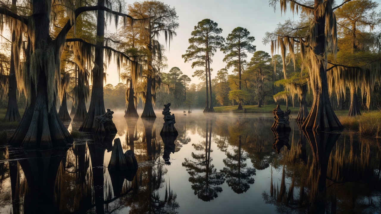
Francis Marion is the coastal half, sprawling north of Charleston across the flat, water-laced lowcountry -- longleaf pine flatwoods, cypress-tupelo blackwater swamps, and tidal creeks running toward the Intracoastal Waterway. Sumter is the upcountry half, split into three pieces: the Enoree and Long Cane districts roll through the rocky red-clay hills of the piedmont, while the Andrew Pickens district in the far northwestern corner rises into the southern Blue Ridge, all whitewater rivers, hardwood coves and waterfalls. It's rare for one forest name to cover both a subtropical swamp and a mountain trout stream, but this one does.
History
Both forests were established within days of each other in the summer of 1936 -- Francis Marion on July 10 and Sumter on July 13 -- on cutover, eroded and hard-farmed land that the federal government bought and set about healing during the New Deal era. Each carries the name of a South Carolina hero of the American Revolution. Francis Marion (c. 1732-1795) was the 'Swamp Fox,' a militia commander who ran a guerrilla campaign against the British from hidden swamp bases like Snow's Island after Charleston fell in 1780 -- striking fast and melting back into country the redcoats couldn't follow. Legend says the British officer Banastre Tarleton, after chasing him for miles through the swamps, grumbled that 'the Devil himself could not catch him'; Marion is remembered as one of the fathers of guerrilla warfare and was inducted into the U.S. Army Ranger Hall of Fame in 1994. Thomas Sumter (1734-1832) was the 'Fighting Gamecock,' a hard-charging partisan of the piedmont backcountry whom Cornwallis called his 'greatest plague'; he outlived every other general of the Revolution, dying at 97.
Wildlife & plants
The two halves hold two different faunas. In the lowcountry Francis Marion, the star is the red-cockaded woodpecker, a small black-and-white bird that lives only in mature, open pine forest and excavates its nest cavities in living longleaf pines -- this forest has long been one of the most important strongholds for the species in the country. The pine flatwoods and swamps also shelter white-tailed deer, wild turkey, black bear, bobcat, alligators in the blackwater, and wading birds along the tidal edges. Up in Sumter's piedmont and mountains you'll find deer and turkey again, but also mountain-adapted life: the cold, clear water of the Chattooga and Chauga rivers supports trout, and the hardwood coves of the Andrew Pickens district carry a classic southern-Appalachian mix of songbirds, salamanders and hardwood wildlife. Fire is a tool here -- the Forest Service uses prescribed burning to keep the longleaf pine woodlands open, which is exactly the habitat the red-cockaded woodpecker needs.
Notable features
The single most famous feature is the Chattooga River, a federally designated Wild and Scenic River on Sumter's Andrew Pickens district that forms the South Carolina-Georgia line and draws whitewater paddlers and rafters from all over the Southeast. Nearby, the small Ellicott Rock Wilderness (about 2,859 acres) is a genuine oddity -- it straddles the corner where South Carolina, Georgia and North Carolina all meet. The Andrew Pickens district alone is laced with roughly 15 waterfalls dropping anywhere from about 12 to 75 feet, and Fork Mountain, at 3,294 feet, is the high point of the whole unit. Down on the coast, Francis Marion offers the opposite experience: four blackwater swamp wildernesses -- Wambaw Creek, Wambaw Swamp, Little Wambaw Swamp and Hell Hole Bay -- where you can paddle cypress-lined creeks through some of the wildest low-country left near Charleston.
Camps are sourced from public U.S. Forest Service recreation data and have not been personally visited. Roads shown are Forest Service passenger-car routes (maintenance level 3–5) and may be seasonal or gated. Always confirm access, fees and fire rules with the ranger district before you go. Found a fee where we show free? Tell us on the contact page.