Hoosier National Forest
Where the camps cluster
The place
This is the hill country of south central Indiana -- the part of the state the glaciers missed, where the ground stops being cornfield and starts being ridge, hollow and sinkhole. The Hoosier is not one block of land. It is four separate sections made up of many parcels, spread across nine counties: Monroe, Brown, Jackson, Lawrence, Martin, Orange, Dubois, Crawford and Perry. The Forest Service puts about 204,000 acres of national forest land inside those sections and describes itself as a 205,000-acre forest; the acreage in the stat box above is the whole administrative boundary, private inholdings included, and in a bought-back eastern forest like this one those two numbers are miles apart. The supervisor's office is in Bedford, at 811 Constitution Avenue, with another office down at Tell City near the Ohio River. Much of it sits over karst -- soluble limestone, which is why southern Indiana has so many caves, springs and streams that disappear into the ground mid-sentence. The forest carries over 260 miles of trail, more than 200 miles of it open to horses, which makes this one of the more genuinely horse-friendly national forests in the Midwest. Water is the other organizing feature. The northern end runs up against Monroe Lake -- roughly 10,750 acres of water, and the largest lake lying wholly inside Indiana -- and the Forest Service manages about 15 percent of the watersheds feeding it -- some 51,000 acres. Farther south the small lakes take over: Tipsaw, Indian-Celina, Saddle Lake, German Ridge. It is oak and hickory country with beech and maple in the hollows, hot and humid in July, and at its best in October or under snow.
History
People have been in these hills for about 12,000 years, first as hunters. Europeans arrived in the late 17th century and started building villages; the serious lumbering came in the 19th century, with the harder-to-reach ground cut after 1865, and by 1910 most of the area had been logged over. What followed is the reason there is a national forest here at all. The steep, thin-soiled ridges were cleared and put into corn and hay, the soil ran off them, and the farms failed. The Charles C. Deam Wilderness is the clearest snapshot of it: the Todd family settled that country in 1826 -- one of the last parts of Indiana to be settled, because the terrain was rough and the soil was poor -- and by the turn of the century the same ground held 81 small farms with 57 miles of mapped road running through them. It is all woods now.
In June 1934 Indiana's governor, Paul V. McNutt, and the state's 73rd Congress asked the Forest Service to acquire land for a national forest out of those eroding, emptying hills. The enabling act was approved February 6, 1935 -- Chapter 29 of Senate Bill 39, "An Act to empower the United States of America to acquire lands in the State of Indiana by purchase or otherwise, for establishing, consolidating, and extending national forests" -- and the first parcels were bought that same year, much of it abandoned and tax-delinquent farmland. The land base grew by purchase over the following decades. Through the 1930s the Civilian Conservation Corps did the physical work: stabilizing erosion, replanting, fighting fire, stringing miles of telephone line that in places was the first communication link rural neighborhoods had, and raising the fire towers -- including the Hickory Ridge tower, built in 1939 and still standing. The Forest Service marked 75 years on this land in 2010, counting from that 1935 act. There is an Ohio footnote worth knowing: from 1949 the Wayne National Forest across the river was administered from Indiana as the combined "Wayne-Hoosier," and the two were not split back apart until December 1992.
The forest also holds one of the most important African American sites in Indiana. The Quaker Jonathan Lindley settled in Orange County in 1811 -- five years before the county existed and Indiana was a state -- and the Forest Service describes the party as Lindley plus eleven other families, Black and white, come up from North Carolina, where restrictions on free Black people were tightening. Black families began buying ground here in the early 1830s; Benjamin Roberts, Peter Lindley, Elias Roberts, Mathew Thomas and David Dugged are among the names on the first purchases, and the adjoining parcels grew into what is now called the Lick Creek African American Settlement -- known locally as Little Africa. It reached its greatest extent in 1855 at 1,557 acres. How many people actually lived there is genuinely unsettled: there is no official count of the settlement itself, and two Forest Service pages disagree, one saying Orange County's entire Black population peaked at 260 in 1860 with almost a third of them at Lick Creek, the other putting the area's African American population above a thousand. What is not in dispute is that this was the center of Black life in the county, and an integrated one -- Black and white neighbors farming adjoining land, with a Methodist meeting house founded in 1837 and an A.M.E. church built in 1843 on an acre sold by Thomas and Matilda Roberts. The Civil War years broke it. In September 1862 alone, seven Black farmers sold off 559 acres, one of them at a serious loss, which the genealogist Coy D. Robbins read as a sign of duress; between the draft, harassment from Southern-sympathizing neighbors and the pull of city work, Black landownership in the county fell to 604 acres by 1870. The last Black landowner, William Thomas, sold out in 1902. The Forest Service bought the ground in 1935 for reforestation, and today the Roberts and Thomas family cemetery -- at least 14 marked headstones, burials between 1856 and 1891 -- is the only piece of the settlement still standing above ground.
Wildlife & plants
The everyday list here is eastern hardwood standard: white-tailed deer first, then fox, woodchuck, opossum and gray squirrel, with wild turkey, pileated woodpeckers, a heavy load of neotropical migrant songbirds in spring, and migratory waterfowl on the lakes. Fishing is panfish, catfish and bass. What makes the Hoosier different is what lives under it. The Forest Service counts six federally listed species whose ranges take in this forest -- three bats and three freshwater mussels: the Indiana bat, the gray bat and the northern long-eared bat, plus the fanshell, rough pigtoe and sheepnose mussels. The Indiana bat is the one this country is famous for. It is a small animal, an inch and a half to two inches of body and about a quarter-ounce, listed as endangered back in the late 1960s specifically because people were disturbing the few caves it hibernates in, where it packs into clusters thousands strong. In summer the females split off into maternity colonies of up to a hundred that roost behind loose bark along tree-lined streams -- which is why the Forest Service manages here for dead and dying trees on purpose. Then white-nose syndrome showed up in Indiana in 2010 and the state's Indiana bat population fell 27 percent. The Hoosier has closed caves to protect the bats, so treat any cave gate or closure sign as non-negotiable. Above ground, the forest also runs conservation work for the cerulean warbler, a blue canopy-nesting songbird that needs big unbroken hardwood forest, and manages deliberately for barrens, wetlands, early successional openings, fire-adapted communities and old growth rather than letting the whole thing go to uniform closed canopy. The strangest plant community is the Clover Lick Barrens down toward the Ohio River, where the vegetation reads more like a Great Plains prairie than an Indiana woods -- open, grassy ground that seems to persist because tall oaks cannot get established there. It was around Clover Lick in 1972 that Indiana set aside ground to reintroduce wild turkeys to the state. Up in the Hemlock Cliffs canyon the cool air holds an entirely different set: eastern hemlock, mountain laurel, rare wintergreen and French's shooting star.
Notable features
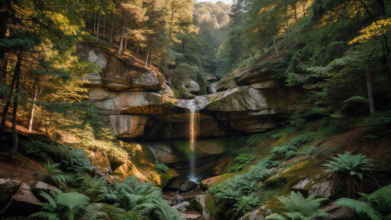
The Charles C. Deam Wilderness is the headline -- 12,953 acres designated by Congress in December 1982, the only federally designated wilderness in Indiana, with about 36 miles of trail for hiking, backpacking and horses (riders need a permit). Monroe Lake forms its northern edge, and because that lake is run for flood control the level moves; low-lying campsites do flood. Camping is not allowed within 200 feet of a trail except at designated sites, and it is capped at 14 days in any 28. It is named for Charles C. Deam, Indiana's first State Forester and the author of the standard books on the state's trees and flora. Do not expect untouched primeval woods -- expect land being handed back: six cemeteries, old roadbeds, gates standing in the middle of nowhere, and crocuses still blooming every spring where somebody's dooryard used to be. At the Hickory Ridge trailhead stands the Hickory Ridge Lookout Tower, built by the CCC in 1939, staffed until the 1970s, and the last of eight fire towers that once watched this forest. You can still climb it. Hemlock Cliffs, in the Crawford County section, is the forest's showpiece oddity: a box canyon whose shape traps cool air, letting eastern hemlock and other northern plants hang on far south of where they belong. The walls are sandstone of the Tar Springs Formation, honeycombed by the weathering of iron in the rock, sitting on Glen Dean Limestone that leaks springs and small caves; seasonal waterfalls run at either end of a roughly one-mile loop that takes a couple of unhurried hours. A large semicircular rock shelter at the head of the canyon sheltered people as early as 10,000 years ago and is now closed to entry to protect what is in it. Go after a snowfall or a hard freeze if you can. Near Paoli, the Pioneer Mothers Memorial Forest -- Cox's Woods -- is 88 acres of surviving virgin central hardwood forest, the kind that essentially vanished from the Midwest in the 1800s: white oak, tuliptree, white ash and black walnut, some of it running 60 feet to the first limb and 50 inches through at chest height. Joseph Cox patented the land in 1816 and his family declined to cut it for 124 years; it was set aside in 1944 and is now both a National Natural Landmark and a Research Natural Area, with a 1.3-mile trail through it. Elsewhere: the Jacob Rickenbaugh House near St. Croix, an 1874 ashlar sandstone house in late Greek Revival that held the Celina post office in its parlor from 1878 to 1961, bought by the Forest Service in 1968, restored, listed on the National Register in 1984 and open for self-guided tours spring through fall; the 15.7-mile Two Lakes Loop National Recreation Trail around Indian and Celina lakes; Tipsaw Lake with its beach; and the Lick Creek Trail out of Paoli, which walks you through the old settlement.
Camps are sourced from public U.S. Forest Service recreation data and have not been personally visited. Roads shown are Forest Service passenger-car routes (maintenance level 3–5) and may be seasonal or gated. Always confirm access, fees and fire rules with the ranger district before you go. Found a fee where we show free? Tell us on the contact page.