Mark Twain National Forest
Where the camps cluster
The place
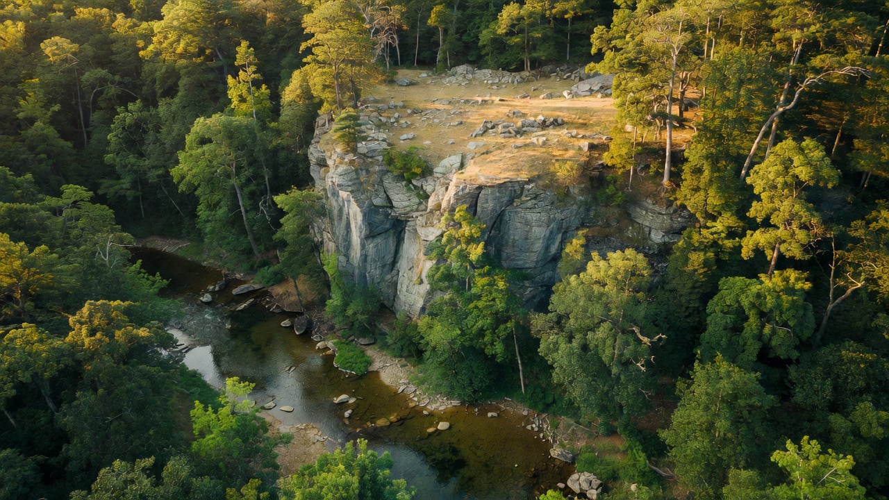
Mark Twain National Forest is Missouri's only national forest, and it isn't one solid block on the map -- it's scattered across about 29 counties in roughly nine separate chunks, most of them draped over the rugged Ozark Highlands of southern and central Missouri (one outlier, the Cedar Creek unit, sits north of the Missouri River, off the Ozark plateau entirely). Its proclamation boundary takes in something like 3 million acres, though only about half of that -- roughly 1.5 million acres -- is actual public forest, with the rest a patchwork of private land in between. What ties it all together is classic Ozark country: oak-and-hickory hills, open rocky glades, cold clear spring-fed rivers you can float for days, and some of the oldest exposed rock on the continent.
History
Missouri's only national forest carries the name of the state's most famous storyteller -- Samuel Clemens, better known as Mark Twain, born in Florida, Missouri, in 1835. The land itself has a longer story: worn-down Ozark hills that were farmed hard, logged over, and burned before the federal government began buying up the cutover ground during the Depression. Mark Twain and a companion forest, the Clark, were both proclaimed on September 11, 1939, and for decades were run as separate units; they were officially combined under the single Mark Twain name in February 1976. Long before any of that, this was Osage country, and later the ground that mid-1800s settlers -- including the Irish colony that gave the Irish Wilderness its name -- tried and mostly failed to hold.
Wildlife & plants
The Ozark hills here are thick with white-tailed deer and wild turkey, and the forest is core habitat for Missouri's recovering American black bears -- a population that was nearly wiped out and has been slowly climbing back, mostly in the southern part of the state. You'll likely see (or hear) armadillos, which have steadily expanded their range north into the Ozarks, along with bobcats, coyotes, and river otters on the streams. The float rivers run cold and clear enough for smallmouth bass, and below Greer Spring the Eleven Point turns cold enough for trout, mostly rainbow. The real showstoppers live on the sun-baked glades: eastern collared lizards -- locals call them 'mountain boomers' -- and even Texas brown tarantulas, desert-looking creatures hanging on in the middle of Missouri. Shortleaf pine, the state's only native pine, is making a comeback here through restoration work amid the oak and hickory.
Notable features
The forest's crown jewel is the Eleven Point River -- one of the original eight rivers Congress protected under the Wild and Scenic Rivers Act of 1968 -- fed by Greer Spring, Missouri's second-largest, which roughly doubles the river's flow where it pours in. Nearby, the roughly 16,300-acre Irish Wilderness is the largest designated wilderness in Missouri, one of seven wilderness areas scattered across the forest (Hercules Glades, Bell Mountain, Devils Backbone, and others among them). Up in the St. Francois Mountains, the forest holds Precambrian igneous rock roughly 1.4 to 1.5 billion years old -- among the oldest of its kind in the midcontinent, the exposed core of mountains that have long since worn down to hills. And the Glade Top Trail, a National Forest Scenic Byway, runs the ridgetops through open glades with long views over the surrounding country.
Camps are sourced from public U.S. Forest Service recreation data and have not been personally visited. Roads shown are Forest Service passenger-car routes (maintenance level 3–5) and may be seasonal or gated. Always confirm access, fees and fire rules with the ranger district before you go. Found a fee where we show free? Tell us on the contact page.