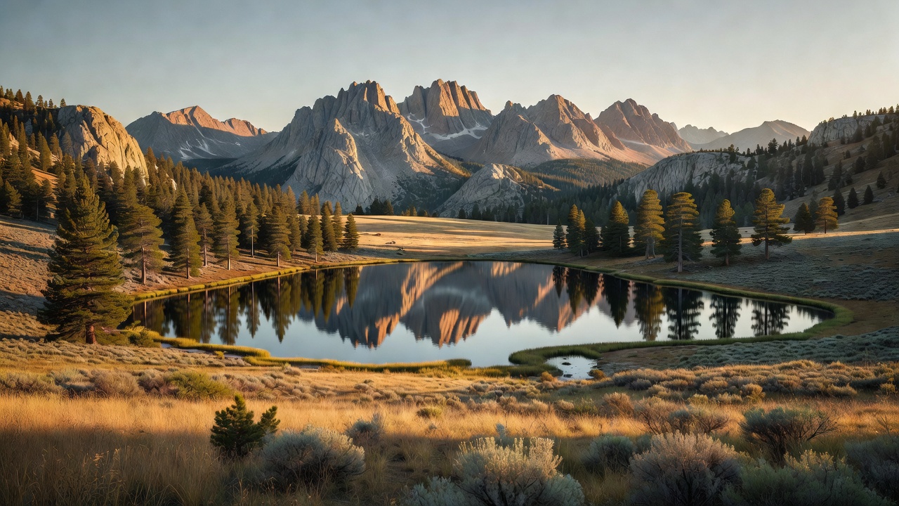
Sawtooth National Forest
Where the camps cluster
The place
Sawtooth National Forest is roughly 2.2 million acres in the heart of south-central Idaho, with a small piece -- about four percent -- reaching south across the line into Utah. The Forest Service runs it from an office in Jerome, Idaho, and splits it into the Fairfield, Ketchum and Minidoka ranger districts plus the Sawtooth National Recreation Area, which is its own thing entirely. The scenery people picture when they hear the name is the Sawtooth Range: a 40-odd-mile wall of raw granite with 57 summits over 10,000 feet, carved by old glaciers into cirques and hanging basins and something like 400 alpine lakes. But the forest is much more than that one range. It also takes in the Boulder, White Cloud, Smoky and Pioneer mountains -- the Pioneers hold Hyndman Peak at 12,009 feet, the ninth-highest point in Idaho -- and then, far to the south, a scattering of dry, lonesome island ranges above the Snake River Plain that most visitors never think of as being the same forest at all: the Albion, Black Pine, Cassia, Raft River and Sublett divisions of the Minidoka district. Only about 47 percent of the whole thing is actually timbered. The rest is rock, sage, water and sky. There are roughly 7,500 miles of streams, over 1,100 lakes, 81 campgrounds, four ski areas, and better than a million visitors a year.
History
Theodore Roosevelt set the place aside as the Sawtooth Forest Reserve by proclamation on May 29, 1905, at 1,947,520 acres. The southern half of today's forest arrived by a separate road: Minidoka National Forest was created on July 1, 1908 out of the old Cassia and Raft River national forests, and it ran in both Idaho and Utah until it was absorbed into the Sawtooth on July 1, 1953 -- which is why the forest still has a Minidoka Ranger District, and why an Idaho forest owns ground in Utah's Box Elder County.
The modern chapter starts with a fight. In 1970 an open-pit molybdenum mine was proposed in the White Cloud Mountains, under Castle Peak. Idaho's sitting Republican governor, Don Samuelson, backed it -- an estimated $4 million a year to the state. His Democratic challenger, Cecil Andrus, ran against it on conservation grounds, drew in the state's urban voters who spent their vacations up in those mountains, and won by more than four points. Two years later, on August 22, 1972, Congress designated the 730,864-acre Sawtooth National Recreation Area and, inside it, the 217,088-acre Sawtooth Wilderness. The White Clouds themselves waited another 43 years: on August 7, 2015, the Sawtooth National Recreation Area and Jerry Peak Wilderness Additions Act -- sponsored by Representative Mike Simpson and signed by President Obama -- created three more wilderness areas totaling 275,665 acres. One of them, the White Clouds Wilderness, was renamed the Cecil D. Andrus-White Clouds Wilderness in 2018, after the governor who'd made his name refusing to let it be mined.
Wildlife & plants
The forest counts more than 243 bird species, 78 mammals, 28 reptiles and amphibians and 29 fish -- the usual Idaho high-country cast of elk, mule deer, black bear, mountain lion and mountain goat, with gray wolves back on the ground after their controversial reintroduction to the recreation area in the mid-1990s.
The animal that defines this place, though, is a fish. Sockeye salmon leave the Pacific and swim more than 900 miles up the Columbia, Snake and Salmon rivers, climbing more than 6,500 feet in elevation, to spawn in the Sawtooth Valley -- farther and higher than any other salmon run in America. Redfish Lake is named for what that used to look like: so many spawning sockeye that the water shimmered red. By November 20, 1991 the run was in such trouble that Snake River sockeye became the first Idaho salmon listed as endangered, and in 1992 exactly one fish came home -- a male the state nicknamed Lonesome Larry. The captive broodstock program built to save the run was founded on 16 adult fish, 11 males and five females, taken in between 1991 and 1998; Idaho Fish and Game reckons it has held onto about 95 percent of the genetic variability the species had left. The forest also shelters a short list of things that live nowhere else on earth -- the South Hills crossbill, Christ's Indian paintbrush, Davis' springparsley and the Wood River sculpin.
Notable features
The Sawtooth National Recreation Area, 730,864 acres, is the centerpiece: four mountain ranges (Sawtooth, White Cloud, Boulder and Smoky), the headwaters of the Salmon River running north up Sawtooth Valley before it swings east at Stanley, and hundreds of glacier-cut lakes. The biggest is Redfish Lake -- 4.5 miles long, 387 feet deep, sitting at 6,547 feet with Mount Heyburn and the Grand Mogul standing over its south end, and a boat shuttle that will drop you at the far shore to start a hike. Castle Peak, 11,815 feet, is the high point of both the White Clouds and the whole recreation area; Thompson Peak, about 10,750 feet, tops the Sawtooth Range itself. The Sawtooth Wilderness holds roughly 350 miles of trail. Over on the Ketchum side, Bald Mountain -- 9,150-foot summit, 3,400 feet of vertical above Ketchum -- is one of the forest's four ski areas, and the reason the ski world knows this valley at all. And it burns: the 2013 Beaver Creek Fire took 111,490 acres, the 2005 Valley Road Fire 40,800.
Camps are sourced from public U.S. Forest Service recreation data and have not been personally visited. Roads shown are Forest Service passenger-car routes (maintenance level 3–5) and may be seasonal or gated. Always confirm access, fees and fire rules with the ranger district before you go. Found a fee where we show free? Tell us on the contact page.