Stanislaus National Forest
Where the camps cluster
The place
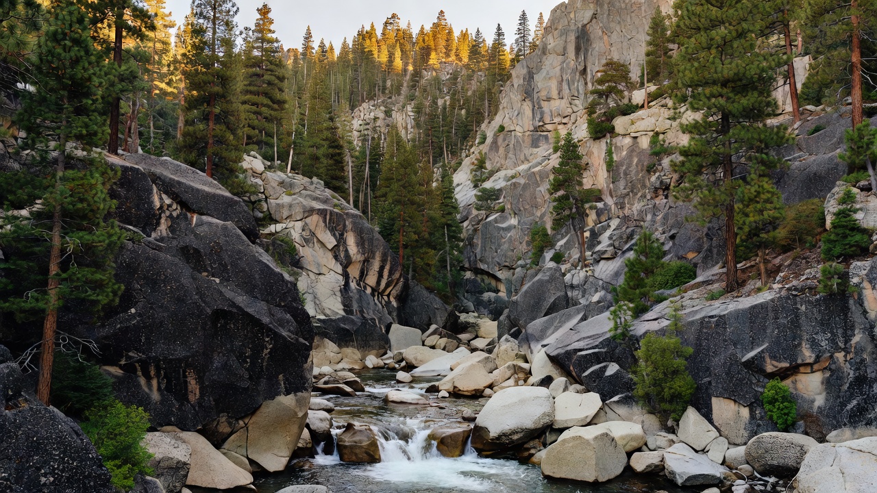
The Stanislaus spreads across the central Sierra Nevada of California, wrapped around the northwestern edge of Yosemite National Park and running up through Tuolumne, Alpine, Mariposa and Calaveras counties from a headquarters in the old gold-rush town of Sonora. It is deep, wet, high country: the Forest Service counts 78 lakes and 811 miles of streams and rivers within its boundaries, threaded by the Tuolumne, the Stanislaus, the wild Clavey and Cherry Creek, with more than a thousand miles of trail laced through it.
Above the canyons stand old forests of lodgepole and Jeffrey pine and white fir -- roughly 139,000 acres of it old growth -- and the land climbs from foothill oak country to the granite high country along Highway 108 and Sonora Pass. It is a working recreation forest as much as a wild one: two ski areas, Dodge Ridge and Bear Valley, run on its slopes, and in summer the same country fills with hikers, anglers and campers.
History
The Stanislaus was established on February 22, 1897, which makes it one of the oldest national forests in the United States -- older than the Forest Service itself, which would not exist for nearly another decade. It takes its name from the Stanislaus River, and the river in turn carries the name of Estanislao, a Yokuts man (christened after Saint Stanislaus, his native name believed to have been Cucunichi) who led a Native uprising against Mexican authority around 1828. After he was defeated on the Laquisimes River in June 1829, that river was renamed the Stanislaus in his honor -- and the forest, generations later, inherited the name.
Wildlife & plants
This is classic central-Sierra wildlife country, its forests of lodgepole pine, Jeffrey pine and white fir sheltering black bear, mule deer and mountain lion, with some 139,000 acres of old growth giving cover to the birds and small mammals of the high woods. The forest's rivers and 78 lakes hold trout and draw anglers up the canyons of the Tuolumne, the Clavey and Cherry Creek. Its wilder reaches, especially the granite basins of the Emigrant Wilderness, are the kind of high, quiet country where the Sierra's backcountry animals still range far from any road.
Notable features
The forest's wild heart is its granite backcountry along the Sierra crest. The Emigrant Wilderness lies entirely within the Stanislaus -- a high country of glacier-scoured granite, lakes and meadows on Yosemite's northern flank -- and the forest also takes in parts of the Carson-Iceberg Wilderness, including the volcanic tower of Dardanelles Cone, and a piece of the Mokelumne Wilderness. Highway 108 climbs through it to Sonora Pass, one of the great high crossings of the Sierra. The forest is also remembered for fire: in August 2013 the Rim Fire, started by an illegal campfire, burned 257,314 acres across the Stanislaus and into Yosemite -- at the time the third-largest wildfire in California's recorded history.
Camps are sourced from public U.S. Forest Service recreation data and have not been personally visited. Roads shown are Forest Service passenger-car routes (maintenance level 3–5) and may be seasonal or gated. Always confirm access, fees and fire rules with the ranger district before you go. Found a fee where we show free? Tell us on the contact page.