Apache-Sitgreaves National Forests
Where the camps cluster
The place
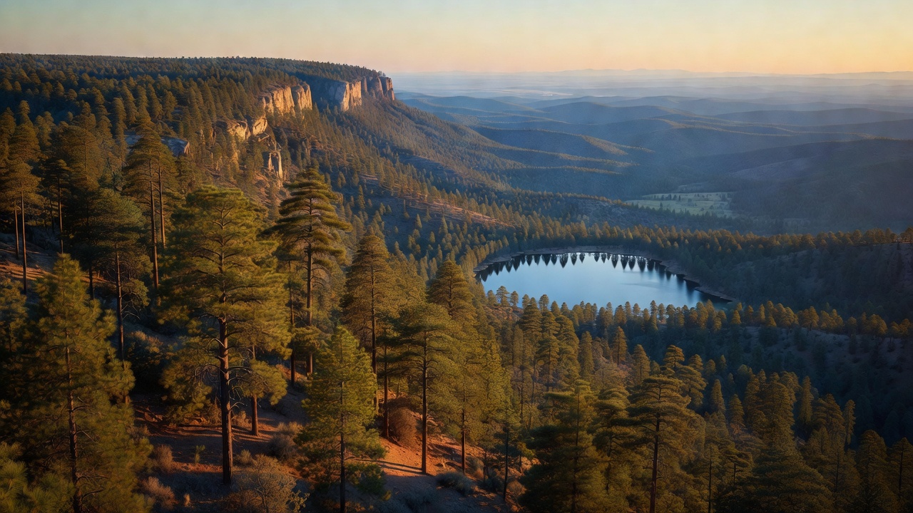
The Apache-Sitgreaves stretches across the high country of east-central Arizona, taking in a large part of the Mogollon Rim -- the great forested escarpment that marks the southern edge of the Colorado Plateau -- and the volcanic White Mountains beyond it. The land runs for almost 300 miles, and it climbs hard: from around 3,500 feet in the canyons of the Clifton Ranger District to over 11,000 feet in the Mount Baldy Wilderness. On the Rim, ponderosa pine spreads for mile after mile as part of the vast pine belt that runs along the Mogollon Rim, often called the largest continuous stand of ponderosa in the world; higher up it gives way to spruce, fir and aspen in the cool White Mountain highlands.
For a Southwestern forest it is remarkably wet. Its high meadows and rims gather the headwaters of the Black, Little Colorado and San Francisco rivers, and the Forest Service counts 24 lakes and reservoirs and more than 400 miles of rivers and streams here -- more, it says, than in any other forest in the Southwest. Big Lake and Luna Lake draw anglers and campers up onto the plateau, and the whole high country is a cool green island of pine and water above the surrounding desert.
History
Today's forest is two older ones run as a single unit. Both were created the same day -- July 1, 1908 -- when the young Forest Service reshuffled Arizona's woods: the Apache National Forest was carved from the former Black Mesa National Forest, and the Sitgreaves National Forest from portions of the Black Mesa and Tonto forests. The two were combined administratively in 1974 as the Apache-Sitgreaves National Forests, managed from a supervisor's office in Springerville, Arizona, and divided among five ranger districts -- Alpine, Black Mesa, Clifton, Lakeside and Springerville. The Apache name honors the Apache people of the region; the Sitgreaves name remembers Lorenzo Sitgreaves, the Army lieutenant who led the first topographic survey expedition across Arizona in 1851.
Wildlife & plants
The Forest Service tallies more than 400 species of wildlife across these ranges, but two of them carry the forest's story. Beginning in 1998, captive-bred Mexican gray wolves -- the rarest gray wolf on the continent -- were released into the Apache National Forest's Blue Range as part of the effort to return the subspecies to the wild, one of the boldest predator-recovery programs in the country. In the cold, clear streams below runs the Apache trout, Arizona's state fish, native to the headwaters of the White Mountains; it was among the very first fish protected under the 1973 Endangered Species Act, its range having shrunk from hundreds of miles of stream to only a few dozen, and after decades of recovery work it has since been delisted. The forest also keeps a famous ghost: on Escudilla, in 1936, the last grizzly bear in Arizona was killed -- the loss Aldo Leopold mourned in his essay 'Escudilla' in A Sand County Almanac.
Notable features
The forest's wild heart is its high, protected backcountry. The Blue Range Primitive Area, first set aside by the Secretary of Agriculture in 1933, still carries the old 'primitive area' status that most such lands shed when they became wilderness, its rough canyons running down to the New Mexico line. Three designated wilderness areas rise above the Rim: the Mount Baldy Wilderness, climbing past 11,000 feet on the flanks of one of Arizona's highest peaks; the Escudilla Wilderness, crowned by Escudilla Mountain at 10,916 feet, the third-highest summit in the state; and the small, deep-forested Bear Wallow Wilderness. Between them lie the plateau's lakes and trout streams, the alpine meadows of the White Mountains, and long stretches of the Mogollon Rim looking out over the desert far below.
Camps are sourced from public U.S. Forest Service recreation data and have not been personally visited. Roads shown are Forest Service passenger-car routes (maintenance level 3–5) and may be seasonal or gated. Always confirm access, fees and fire rules with the ranger district before you go. Found a fee where we show free? Tell us on the contact page.