Malheur National Forest
Where the camps cluster
The place
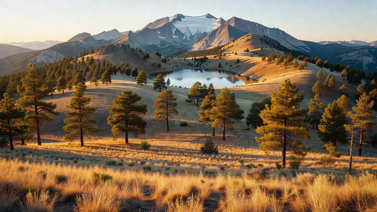
Malheur National Forest spreads across the Blue Mountains of eastern Oregon, covering land in Grant, Harney, Baker and Malheur counties (in that order of size). This is big, dry, high country: elevations climb from around 4,000 feet up to the 9,038-foot summit of Strawberry Mountain, and the terrain shifts from high-desert grasslands, sagebrush and juniper on the low ground up through ponderosa pine and fir to alpine lakes and meadows near the crest. The Strawberry Mountain range runs east to west through the center of the forest.
The forest is the headwaters of the John Day River system, and its towns -- John Day, Prairie City and Hines -- anchor a lonesome, uncrowded corner of the state far from the busier Cascade forests to the west. Two stretches of Wild and Scenic river, on the Malheur and the Silvies, run through the country.
History
Malheur National Forest was established on June 13, 1908, by President Theodore Roosevelt, drawn from earlier forest-reserve lands in the Blue Mountains. Its name comes from the Malheur River -- 'malheur' is French for 'misfortune' or 'bad hour,' a name left on the country by early French-Canadian fur trappers. Through the 20th century the forest was worked for timber, cattle grazing and gold mining, and today it is managed for that same mix of uses alongside wilderness and recreation.
Wildlife & plants
This is classic eastern-Oregon big-game country -- Rocky Mountain elk and mule deer range through the pine woods and high meadows, and the cold headwater streams hold native bull trout and rainbow trout, including in the Middle Fork of the Malheur River. The Strawberry Mountain Wilderness alone is documented as supporting at least 378 animal species and 22 fish species, and its dramatic vertical rise crosses five of North America's seven major life zones, from near-desert up to alpine. Forests here run to larch, spruce, fir and pine, with wildflowers like paintbrush, mariposa lily, buttercup and yarrow and understory plants such as wild strawberry, huckleberry and Oregon grape. A 1993 Forest Service study estimated the forest still held roughly 312,000 acres of old growth.
Notable features
The forest's high point and centerpiece is Strawberry Mountain, at 9,038 feet, standing in the 69,350-acre Strawberry Mountain Wilderness. Glaciers carved that country into U-shaped valleys and scooped out beds that now hold seven alpine lakes -- among them Strawberry Lake, High Lake and Slide Lake -- and Strawberry Creek drops over a 40-foot waterfall along more than 125 miles of hiking trail. To the east, the smaller Monument Rock Wilderness (about 19,620 acres) straddles the boundary with the Wallowa-Whitman National Forest. Lower down, 30-acre Magone Lake, sitting near 5,000 feet about 10 miles north of John Day, is a popular spot to camp, fish and swim. And the forest is the source of the John Day River -- widely noted as the only major tributary of the Columbia River system with no dams on its main stem.
Camps are sourced from public U.S. Forest Service recreation data and have not been personally visited. Roads shown are Forest Service passenger-car routes (maintenance level 3–5) and may be seasonal or gated. Always confirm access, fees and fire rules with the ranger district before you go. Found a fee where we show free? Tell us on the contact page.