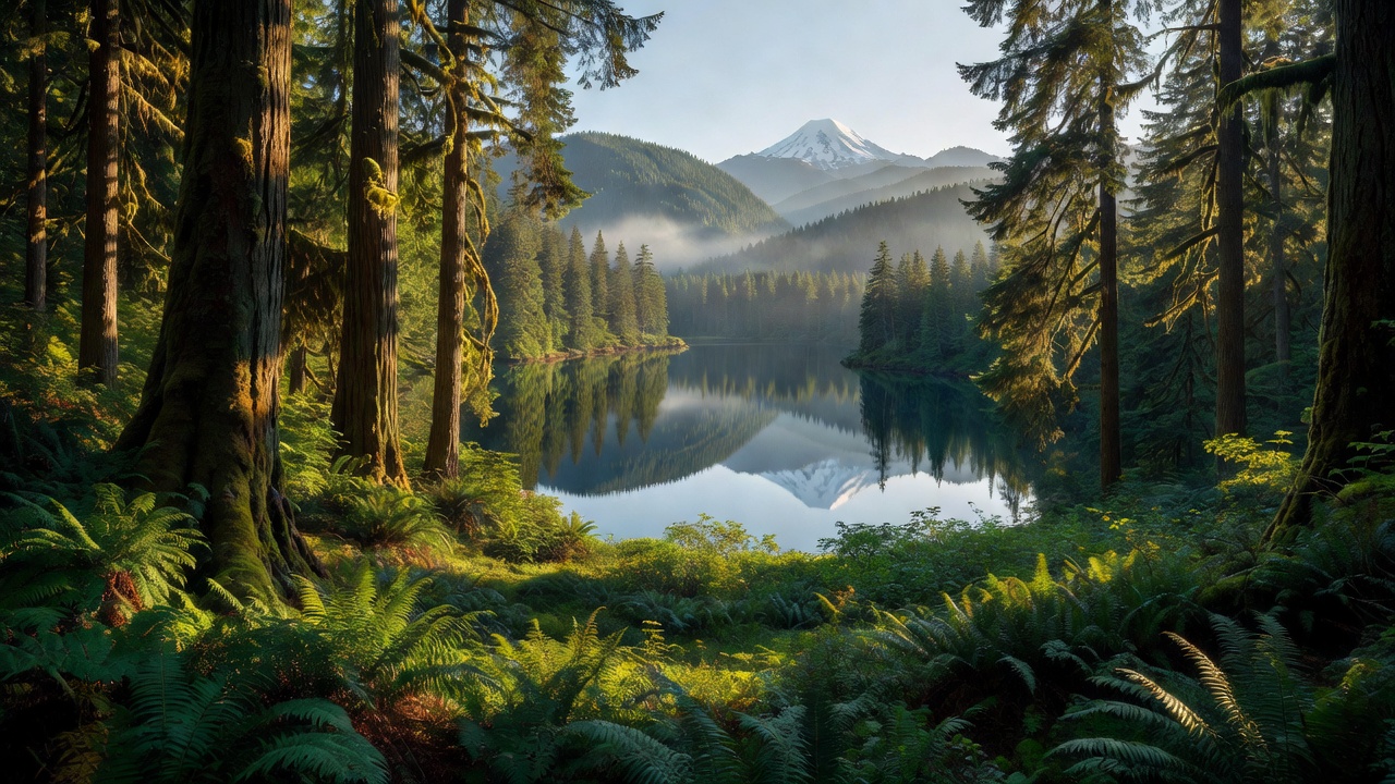
Willamette National Forest
Where the camps cluster
The place
The Willamette National Forest runs like a green spine down the western flank of Oregon's central Cascade Range, stretching for about 110 miles and covering roughly 1.8 million acres. From the forest's low western edge near 1,500 feet the land climbs all the way to almost 10,500 feet on the shoulders of Mount Jefferson, Oregon's second-highest peak -- so within a single forest you pass from mossy old-growth canyons up through cascading streams and wooded slopes to bare volcanic summits still holding glaciers.
It is classic wet-side Cascade country. Storms rolling in off the Pacific dump 80 to 150 inches of precipitation on the forest each year, which is exactly why the trees here grow so enormous and the rivers run so full. Most of the forest sits in Lane County -- about 61 percent of it -- with the rest spread across Linn, Marion, Douglas, Clackamas and Jefferson counties. It is run from a supervisor's office in Springfield, Oregon, with ranger districts based in McKenzie Bridge, Detroit, Sweet Home and Westfir.
History
The Willamette's roots reach back to the very first wave of federal forest protection. The land began as part of the Cascade Range Forest Reserve, created in September 1893 by a proclamation of President Grover Cleveland -- one of the early reserves that would grow into the national forest system. Over the following decades that sprawling reserve was carved and reorganized, and on July 1, 1933, the Willamette National Forest was established from the merger of the former Santiam and Cascade National Forests, taking the name of the great valley river whose headwaters rise within its bounds.
Wildlife & plants
The forest's signature is size -- both the trees and the country. The dominant tree is the Douglas-fir, and in the old-growth stands these giants reach over 300 feet tall with trunks 3 to 8 feet across; a 1993 study estimated the forest still held on the order of 594,800 acres of old growth. That deep, layered forest is home to more than 300 species of fish and wildlife, among them the northern spotted owl -- the icon of Pacific Northwest old-growth -- along with Roosevelt elk, black bear, cougar and several runs of native salmon in the cold rivers. The mix of ancient timber, clear water and volcanic high country is what makes the Willamette one of Oregon's richest wildlife landscapes.
Notable features
The Willamette is stitched together by fire and water. Seven major Cascade volcanoes rise along its crest -- Mount Jefferson, Mount Washington, Three Fingered Jack, Diamond Peak, and the North, Middle and South Sisters -- and more than 380,000 acres of the forest are protected as designated wilderness, including the vast Three Sisters Wilderness (about 242,400 acres) and the Mount Jefferson Wilderness (111,177 acres). Below the peaks the forest holds over 375 lakes and more than 1,500 miles of rivers and streams, and two of them -- the McKenzie and the North Fork of the Middle Fork of the Willamette -- carry federal Wild and Scenic protection.
The McKenzie tells the forest's whole story in a few miles. It begins as the outflow of Clear Lake, a cold, glass-clear lake that lava dammed into being roughly 3,000 years ago -- and where a ghostly stand of upright trees, killed when the lake formed, still stands preserved about 100 feet underwater in water that hovers between 35 and 43 degrees. From there the young river pours over Sahalie and Koosah Falls, then vanishes: for about three miles the riverbed runs dry, buried by a lava flow from Belknap Crater some 1,600 years ago, before the water resurfaces at the brilliant blue Tamolitch Pool. The 26.5-mile McKenzie River National Recreation Trail follows the river past all of it.
Camps are sourced from public U.S. Forest Service recreation data and have not been personally visited. Roads shown are Forest Service passenger-car routes (maintenance level 3–5) and may be seasonal or gated. Always confirm access, fees and fire rules with the ranger district before you go. Found a fee where we show free? Tell us on the contact page.